tags:
planetskier |planetcaver |
Aliartos, Greece |
tower |planetskier |planetcaver |medieval |jari arkko |greece |caving |cave |aliartos
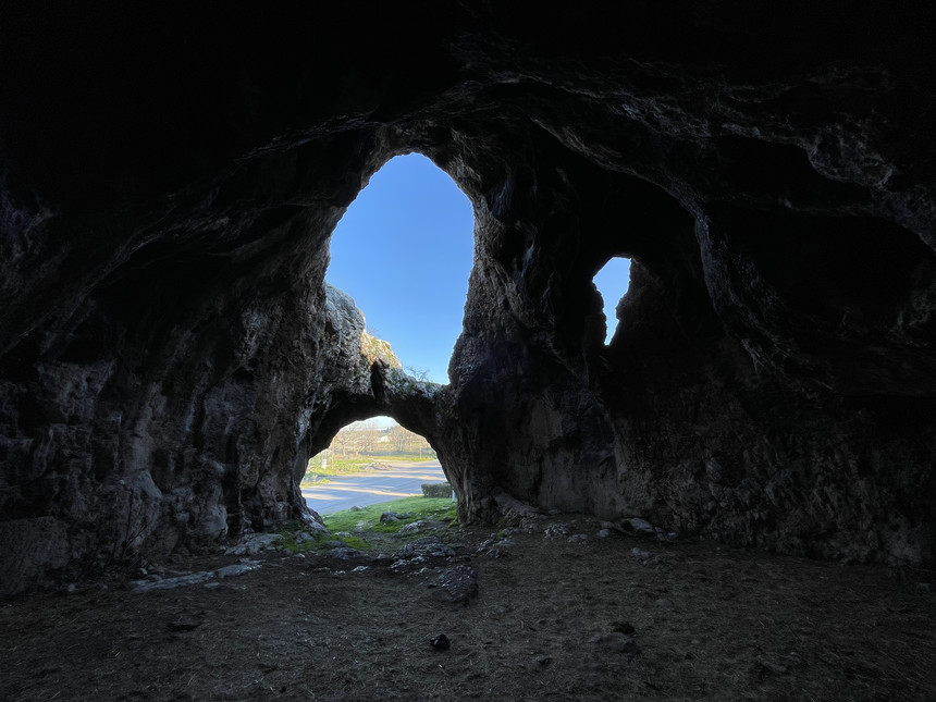
A random discovery while driving through Greece's small mountain towns. A massive hole by the road, with a tower on of the rock hill. This was so sudden that I didn't even think of registering the location or stopping. And I was in a rush to get to the ski area anyway.
But I hoped that I would find it on the way back. Or from the Internet, and could ensure that I take the same path. But it was difficult to find, nothing came up with regards to caves. And when I saw it on the drive-by I thought it was a church. Given that the cave was open towards my inbound direction, I was worried that I would miss it on the drive back, even if I drove the same way.
But, fortunately my navigator did take the same path back, and I was alerted by the tower that now we might be approaching this location.
For future reference and other visitors, the coordinates are N 38.368001 E 23.120891.
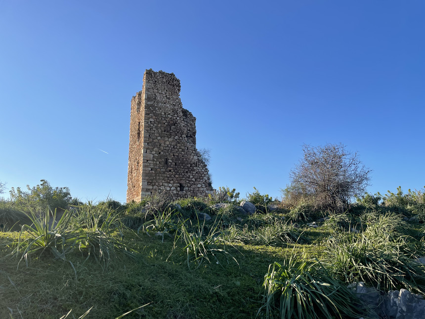
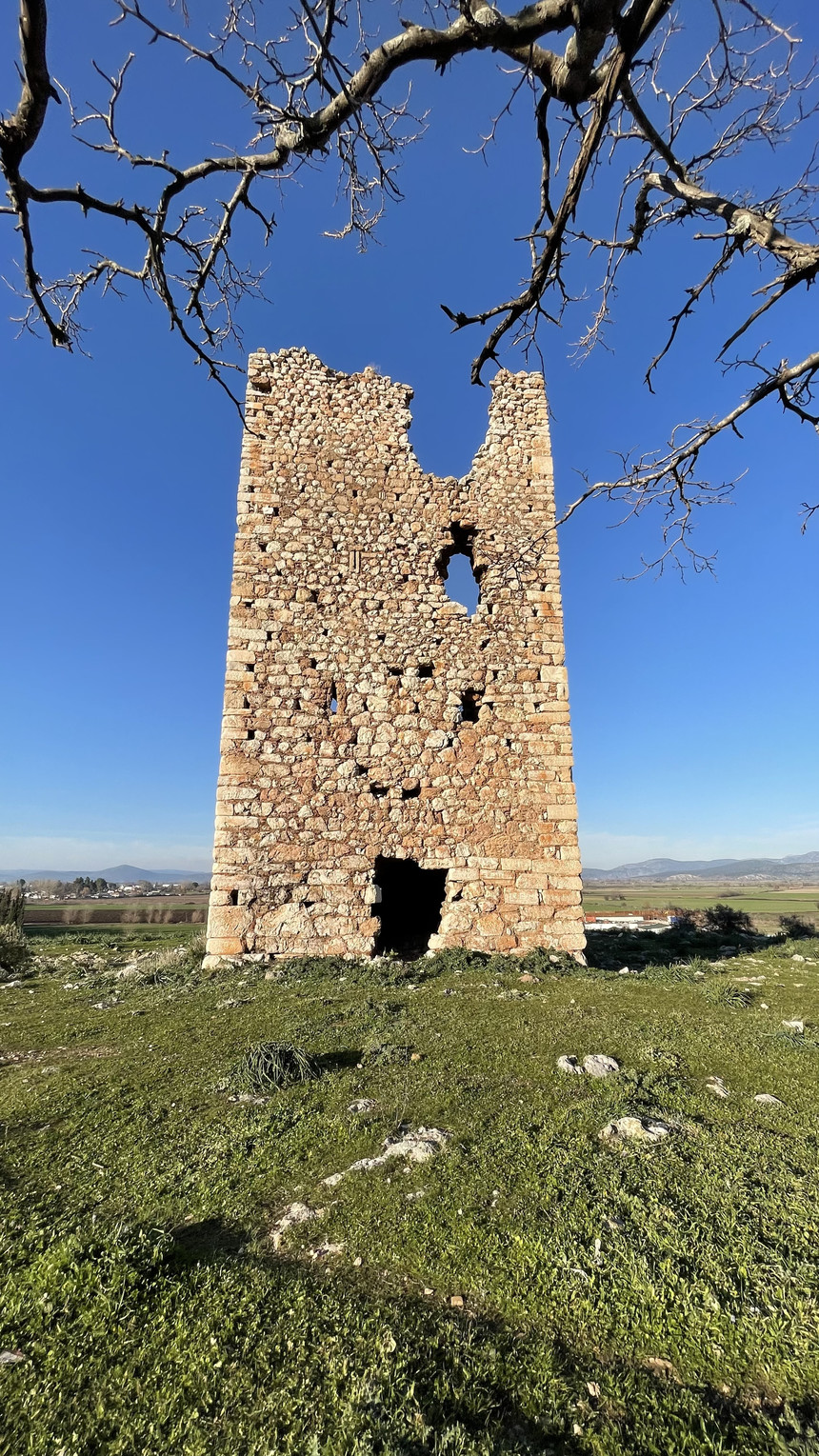
And it was great. The tower is the Tower of Alíartos, a medieval Byzantine defense tower. Currently standing 15 meters tall, but may have been higher. Here are pictures from the tower:
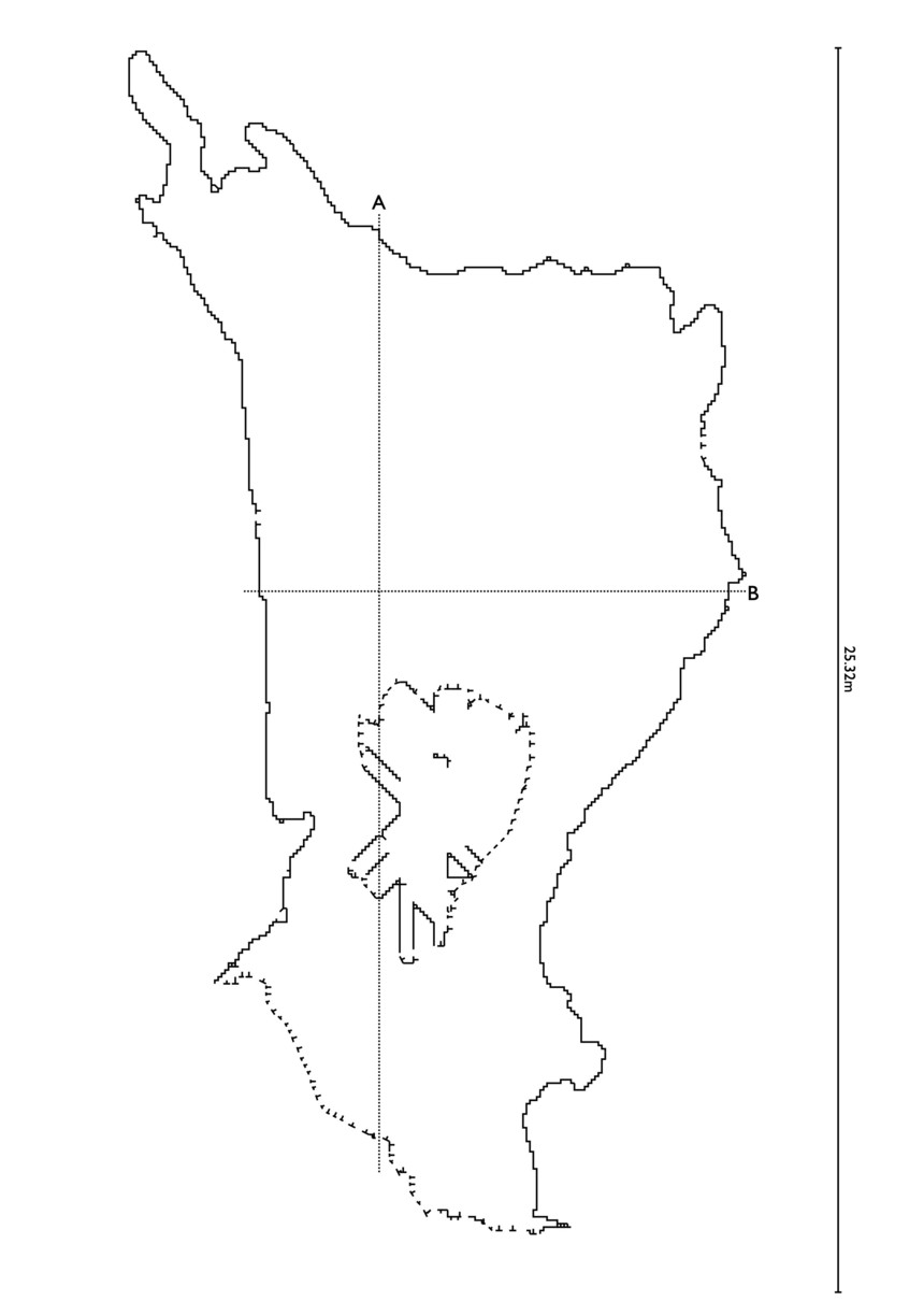
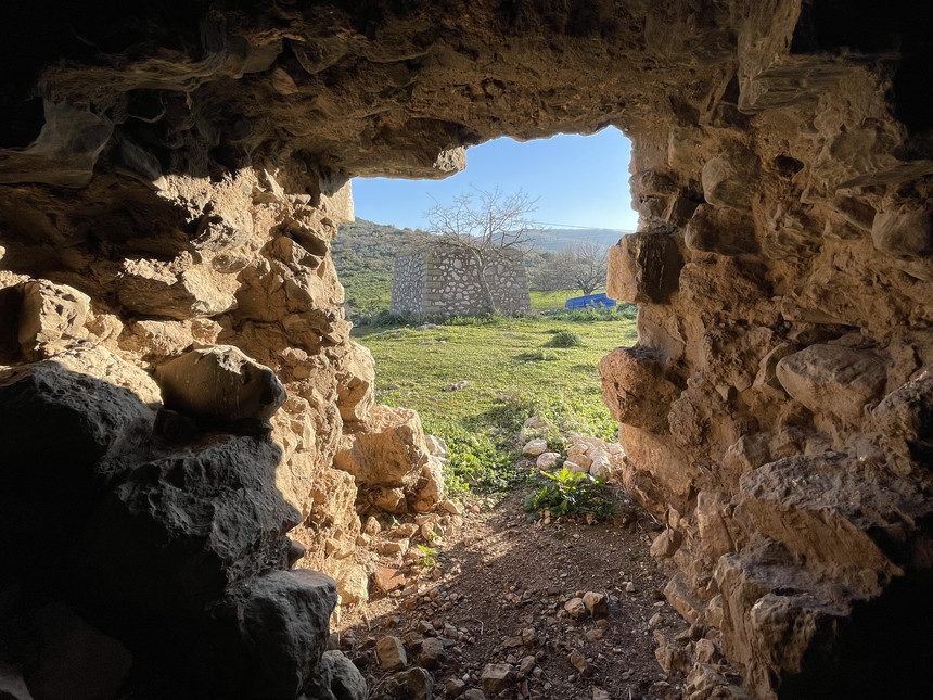
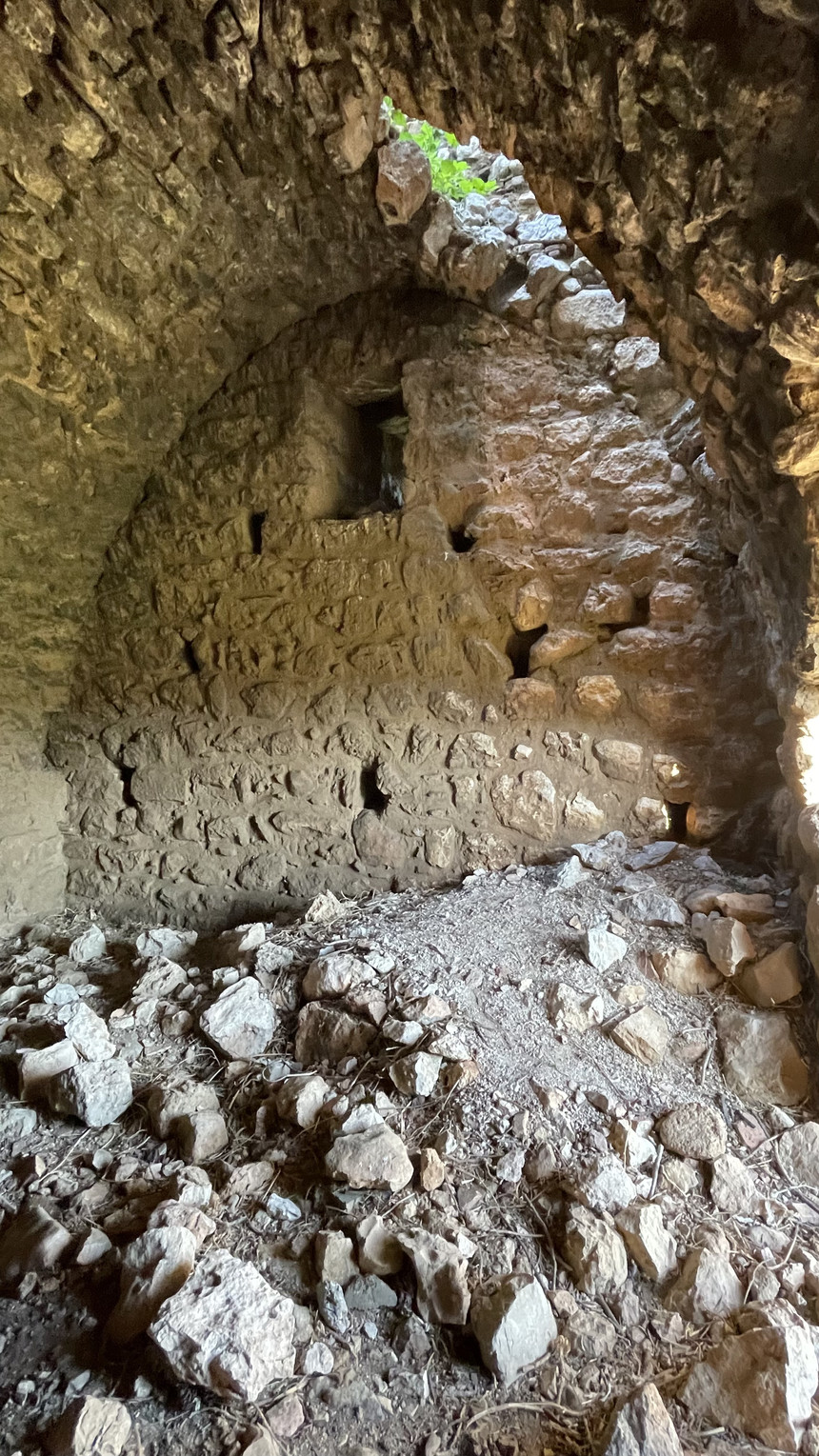
There are several caves in the rocky hill that the tower sits on. The largest one is by the road, with a large entrance opening, a large hole in the roof as well, and a smaller "window" to the side. The cave is about 25 meters. At the end it narrows down to a small crawlspace, which I did not crawl, but I'm not sure if it ended or led to the next door small cave hole in the hill face.
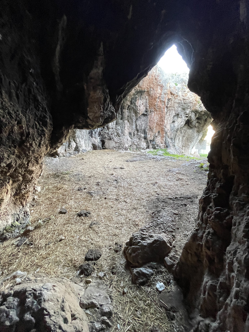
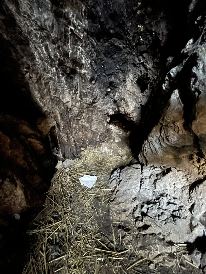
Why didn't I crawl? Because as a roadside attraction, the cave seems to attract people who need a bathroom break... toiler paper and "droppings" all over the place :-) including stuck in my shoes... sheesh
Here's a video of the cave, a fly through of the 3D model I recorded. The fly-through is an animation through the model in Blender, and it took 180 CPU hours to generate the video:
You can also rotate the model freely on your own browser window by here. Or download the model in GLB/GLTF, Blender, or STL format.
Below you can see the Cave Outliner-generated cave map (there's also a more high-resolution PDF version):
More pictures from the cave:

Somebody needed to use the toilet?
And here's the tower:
The article has also appeared in Blogspot. Read more urban exploration stories from theurbanexplorer.net, and other underground stories from planetcaver.net. Read the full Planetskier series at planetskier.net, or all blog articles from Blogspot or TGR. Photos and text (c) 2023 by Jari Arkko. All rights reserved.


