
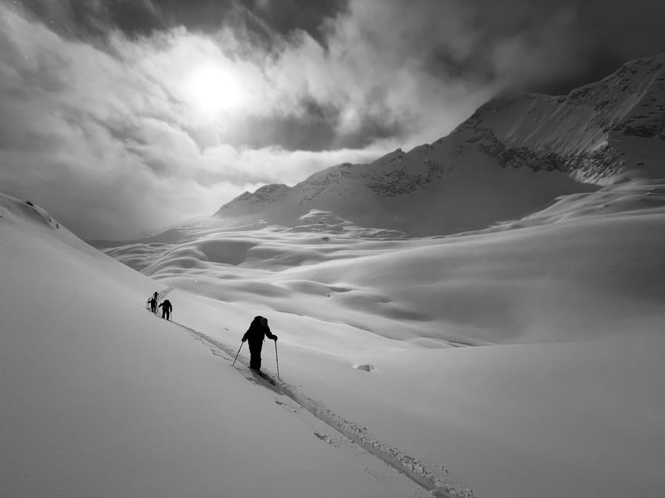
Jan 27 update
https://www.powderhighwaybackcountry.com/omega-blocked/
Results 1 to 8 of 8
Thread: Powder Highway Backcountry
-
01-27-2025, 10:05 AM #1
 Registered User
- Join Date
- Sep 2022
- Posts
- 113
Powder Highway Backcountry
-
01-31-2025, 05:57 PM #2
Registered User
- Join Date
- Sep 2022
- Posts
- 113
Jan 31 Updatehttps://www.powderhighwaybackcountry.com/capow/
-
02-10-2025, 10:17 PM #3
Registered User
- Join Date
- Sep 2022
- Posts
- 113
Feb 10 Update
Subcribe to the weekly update here
Cold Snap
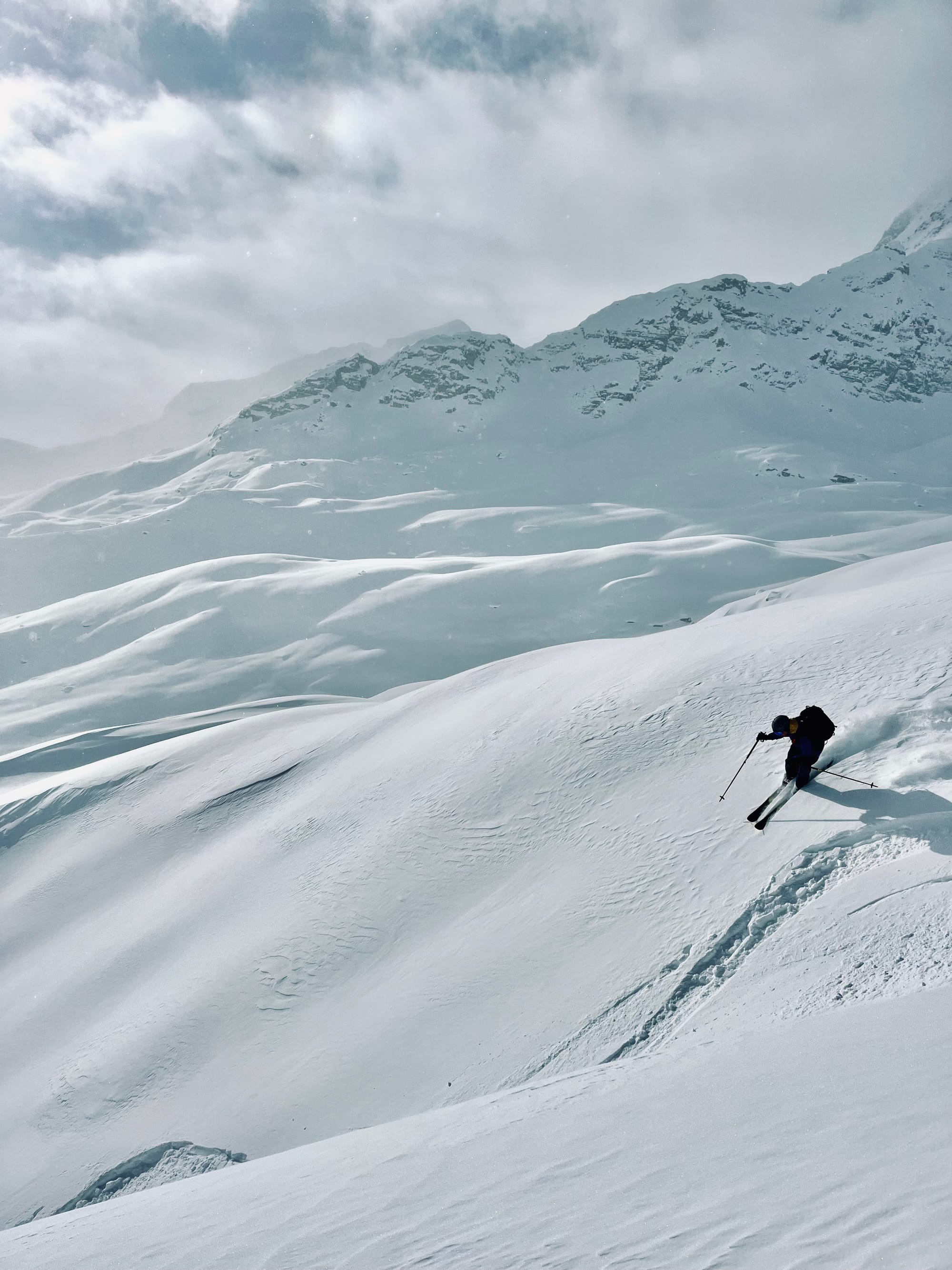
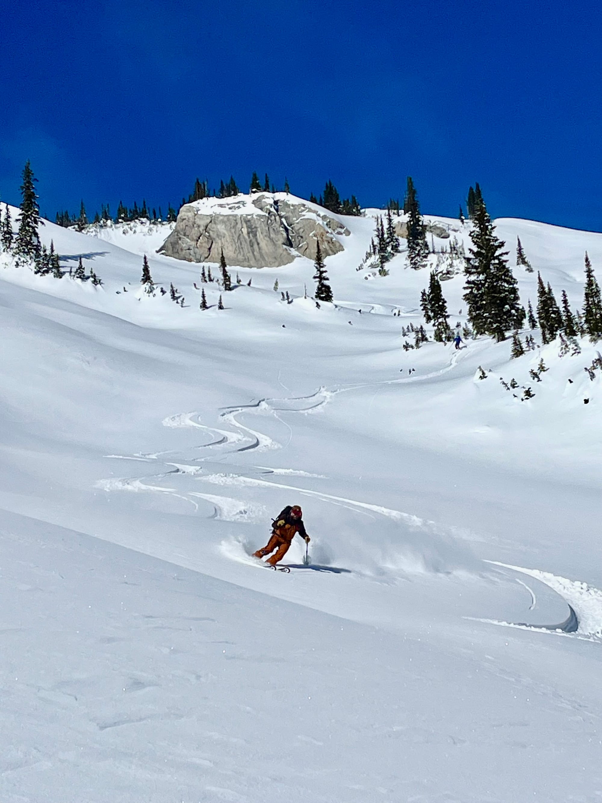
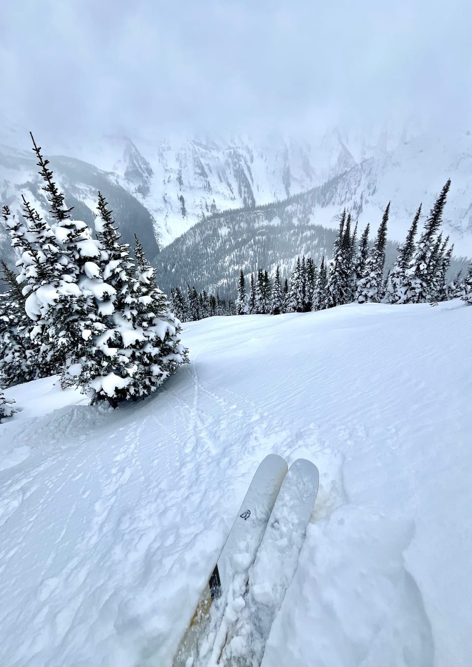
 Temperatures have plunged recently, but the skiing is still fantastic. The big dump we had in early February and subsequent small inputs of precipitation have tapered off as this cold front moved in. The 50-60cm of storm snow has settled to 15 -30cm over top of the January 30 crust/ surface hoar/facet interface. Natural and human triggered avalanche activity has tapered off as well. The storm snow has faceted and there is little cohesion/slab properties in it, making for great skiing and decreased avalanche hazard as of late.
 There is variable wind effect in the alpine around Rogers Pass. Features that would be subject to down flow (catabatic) wind effect have been affected. Solar aspects are skiing well, however you can feel the Jan 30 MFcr under the storm snow, which makes for fast skiing! With temps near -20, staying in the sun has been nice.
Currently the Mt Fidelity snow study plot sits at 190cm. While Kootenay Pass is showing 183cm at the highway. Last week there were a number of human triggered avalanches in the Powder Highway region:
Nelson Area
Rogers Pass
 Snowpack Concerns
Jan 7/10, 16, 21, 30 Approximately 15-30cm of settled snow overlies the January 30 surface hoar/ facet and melt freeze interface. Below that the earlier surface hoar/facet and crust layers can be found in the upper snowpack.
Windslab
Variable winds have created wind slabs in exposed alpine and tree line features. However those slab properties are starting to facet out with the sustained cold temperatures.
 Outlook
Outlook
Cold temps will persist through the week. By next weekend, it looks as though a warm front with precipitation will be on the way. Check out this 10 day model. When it starts snowing again, the January 30th interface will wake up. Currently there are no slab properties in the snow overlying it. Once there is a slab, avalanche hazard will rise. The facets overlying the crust on solar aspects will be particularly spicy. In the meantime, enjoy the fantastic skiing out there!
-
02-16-2025, 09:34 PM #4
Registered User
- Join Date
- Sep 2022
- Posts
- 113
Sunny pow was the solution to -20.
Alt
Cold temperatures have persisted over the last week, making for great skiing in the sun and cold valley bottom approaches. There has been a bit of a reprive from the cold of over the past couple of days with temperatures in Rogers Pass increasing to daytime highs of -10. This warming was associated with 10cm of snow in the past two days. The Kootenays have faired even better with 21cm of new snow and more moderate temperatures of around -8.
The upper snowpack in both the Kootenays and around Rogers Pass is faceted and was topped by surface hoar in sheltered locations. While we've enjoyed another awesome week of skiing and good stability, times will change as storm snow starts to stack up in the future. On solar aspects, the 20-30cm of fist facets overlie the Jan 30th 3-5cm melt freeze crust with fist+ facets below it. On north aspects, the Jan 30th surface hoar/facets are still well preserved in areas that didn't avalanche during the early February storm cycle. There is a high probability this interface will rear its head as more load is applied to it. South aspects could be particularly spooky.
Currently the Mt Fidelity snow study plot sits at 189cm. While Kootenay Pass is showing 188cm at the highway. Both are trending towards another low snowpack year. Let's hope for a big spring!
Last week there were a number of human triggered avalanches in the Powder Highway region, which goes to show if you go hunting for an avalanche, you can still trigger one even when the hazard is moderate/low:
Rogers Pass
Snowpack Concerns
Jan 7/10, 16, 21, 30, Feb 14 10-20 cm of new snow has fallen on top of the February 14 SH/ FC/MFcr. This overlies 15-30cm of faceted snow on top of January 30 surface hoar/ facet and melt freeze interface. Below that the earlier surface hoar/facet and crust layers can be found in the upper snowpack.
Basically the upper snowpack is a pile of junk. Expect persistent slab issues in the month if we get consistent precipitation
Windslab
Variable winds have created wind slabs in exposed alpine and tree line features. The new snow has fallen with light winds, but there could be wind deposition on lee features which will have bonded poorly with the substrate.
Outlook
Temperatures will moderate over the week with continued precipitation. Models are mixed, but this one shows 60cm in the next ten days: Check out this 10 day model. The January 30th interface will wake up. Currently there are no slab properties in the snow overlying it. Once there is a slab, avalanche hazard will rise. The facets overlying the crust on solar aspects will be particularly spicy. In the meantime, enjoy the fantastic skiing out there!
Upcoming Trips
Backcountry Basecamp X Tuft Camp for Endurance Athletes
April 3-7, 2025 $3176CAD + Tax
Five Spaces Left
Backcountry Ski Basecamps - Arctos Guides
Our tent based, backcountry ski basecamps will take you deep into the backcountry. Set up camp and ski with a day pack.
 Arctos Guides
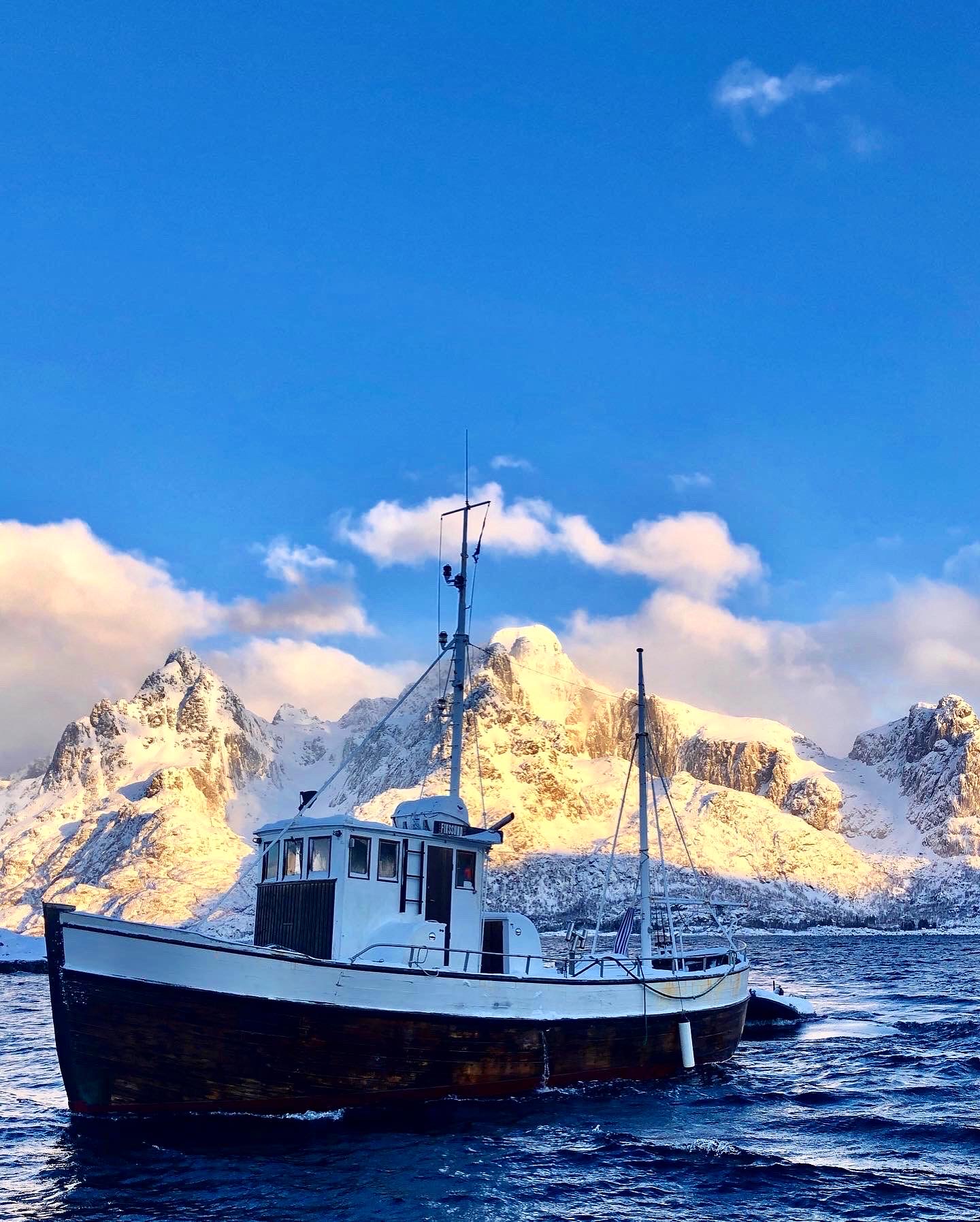
Lyngen Alps Ski and Sail Trip - Arctos Guides
Lyngen Alps Ski and Sail 2025: Step aboard our expedition sailing vessel, the “Moondance,” for a sailing and skiing trip in Northern Norway.
 Arctos Guides
One spot left
-
03-17-2025, 12:34 AM #5
Registered User
- Join Date
- Sep 2022
- Posts
- 113
-
03-24-2025, 12:10 AM #6
Registered User
- Join Date
- Sep 2022
- Posts
- 113
March 23 update
The Best Powder Skiing of the Season
 People often ask when is the best time to ski in BC; well, it varies. This year January and February were cold and dry and March has provided some of the best powder skiing of the season. Consistent snowfall and reasonable freezing levels have yielded exceptional conditions again this week. However, the snowpack is still challenging. The unsettled weather has come with wind and periods of sun, which have created wind slabs in immediate lee features and melt freeze crusts on solar aspects.
Last week was spent at the Hemlock Hut just outside of Revelstoke, where we found excellent skiing on all aspects. On March 16th, a MFcr formed on ESE-S aspects and was subsequently buried by 40-50cm of storm snow by the time we left. The storm snow was mildly reactive on this interface; and produced sloughing in terrain over 35 degrees. By Friday, we were avoiding wind affected areas and start zones as the storm snow was a starting to form a cohesive slab. We also observed preserved 3mm surface hoar (March 6 interface) on a west aspect which overlay a MFcr at 2150m.
-
04-01-2025, 10:19 PM #7
Registered User
- Join Date
- Sep 2022
- Posts
- 113
April 1 update
That was a tough week--
 After an incredible week of powder skiing, the temps sky rocketed and the rain fell. The weekend before last brought significant precipitation in mixed forms with elevated freezing levels, which yielded a significant avalanche cycle. Sadly, it claimed the lives of three people. Over the course of last week, the freezing levels remained high for the better part of the week, with peak heating occurring last Wednesday; this too yielded a large avalanche cycle. The rain soaked snowpack and persistent layers in the upper and mid pack were no match for the intense solar radiation.
-
04-09-2025, 05:24 PM #8
Registered User
- Join Date
- Sep 2022
- Posts
- 113
April 8 Update
A Strong Finish
 After the late March warm-up, and ensuing precipitation, a ridge of high pressure established itself over the Powder Highway region; fortunately the storm system went out cold and deposited 20-30cm of storm snow above 1700m. The late March warm up and rain event caused a significant avalanche cycle and stressed the snowpack enough that stability improved significantly during the first week of April when temperatures cooled off.
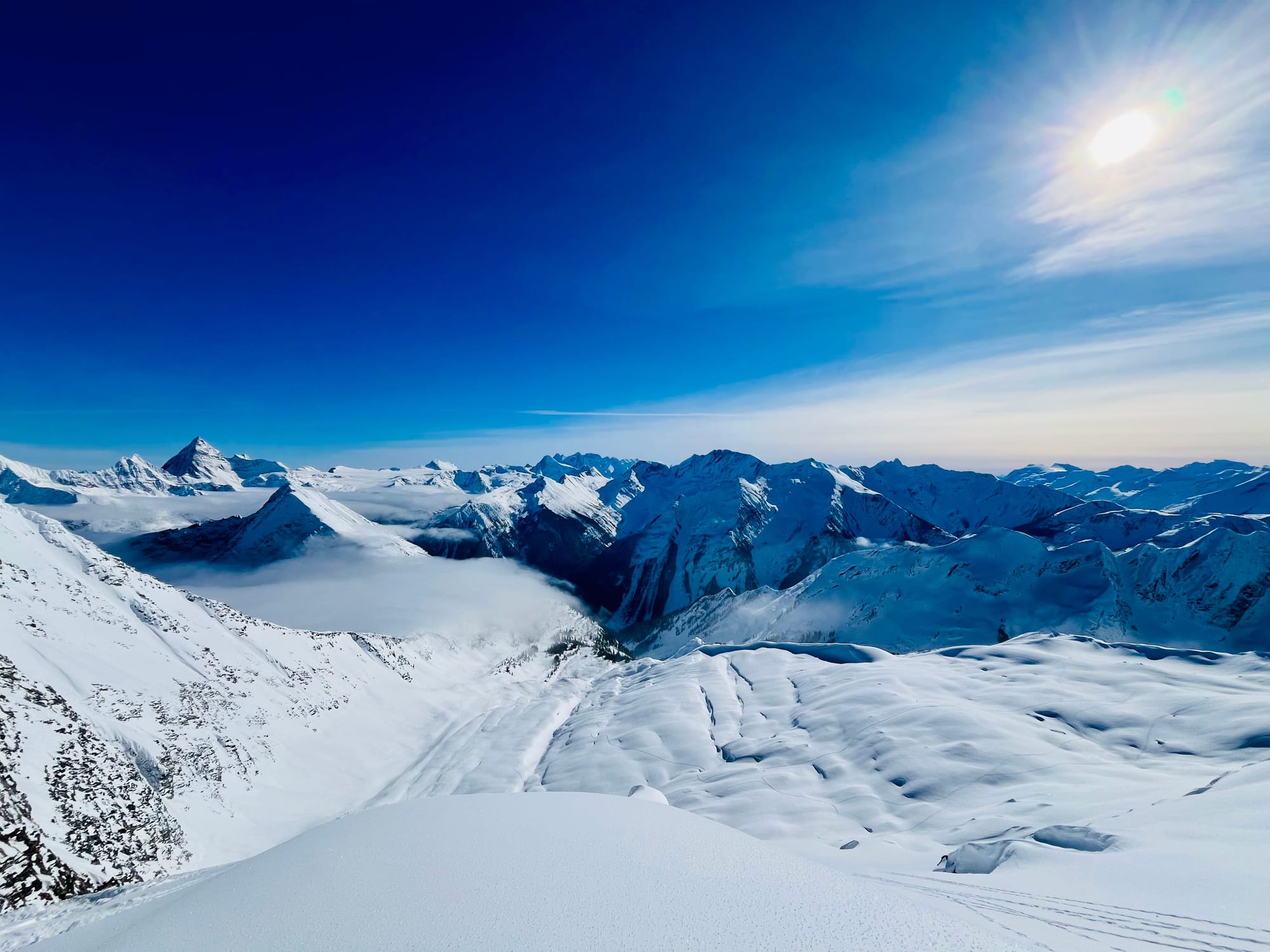
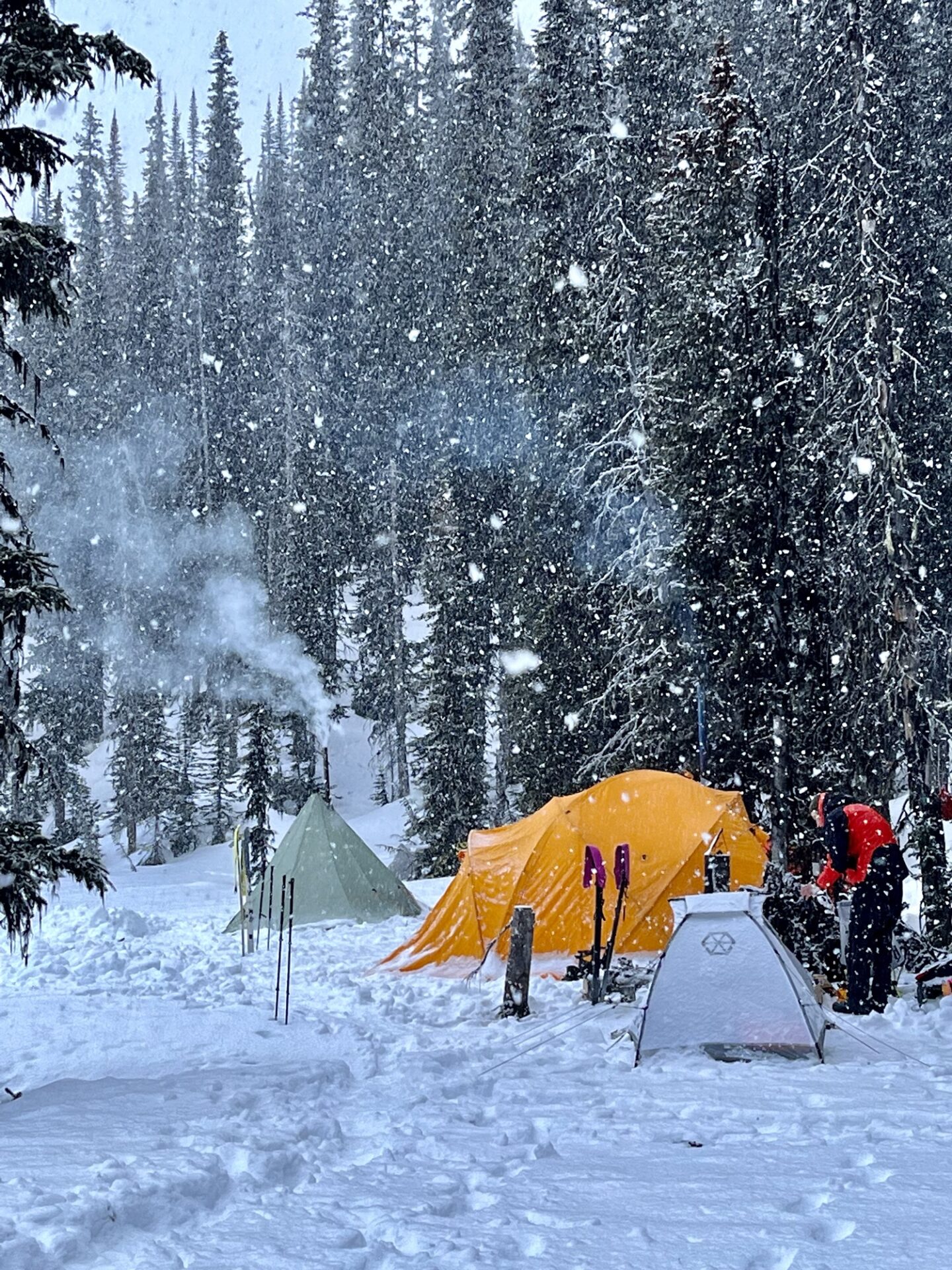
This proved to be a perfect time for a quick ski accessed basecamp in the Valhallas. The unsettled weather was pushed out by a cold front that facetted the recent storm snow and pressed/scoured northerly aspects. We found dry snow on solar aspects above 1800m and to 1400m on north aspects on April 3.

 Reply With Quote
Bookmarks