
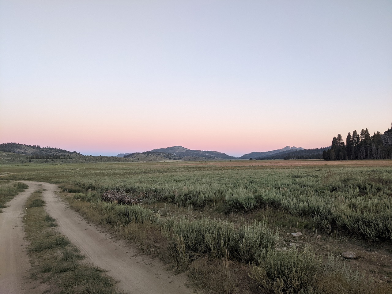
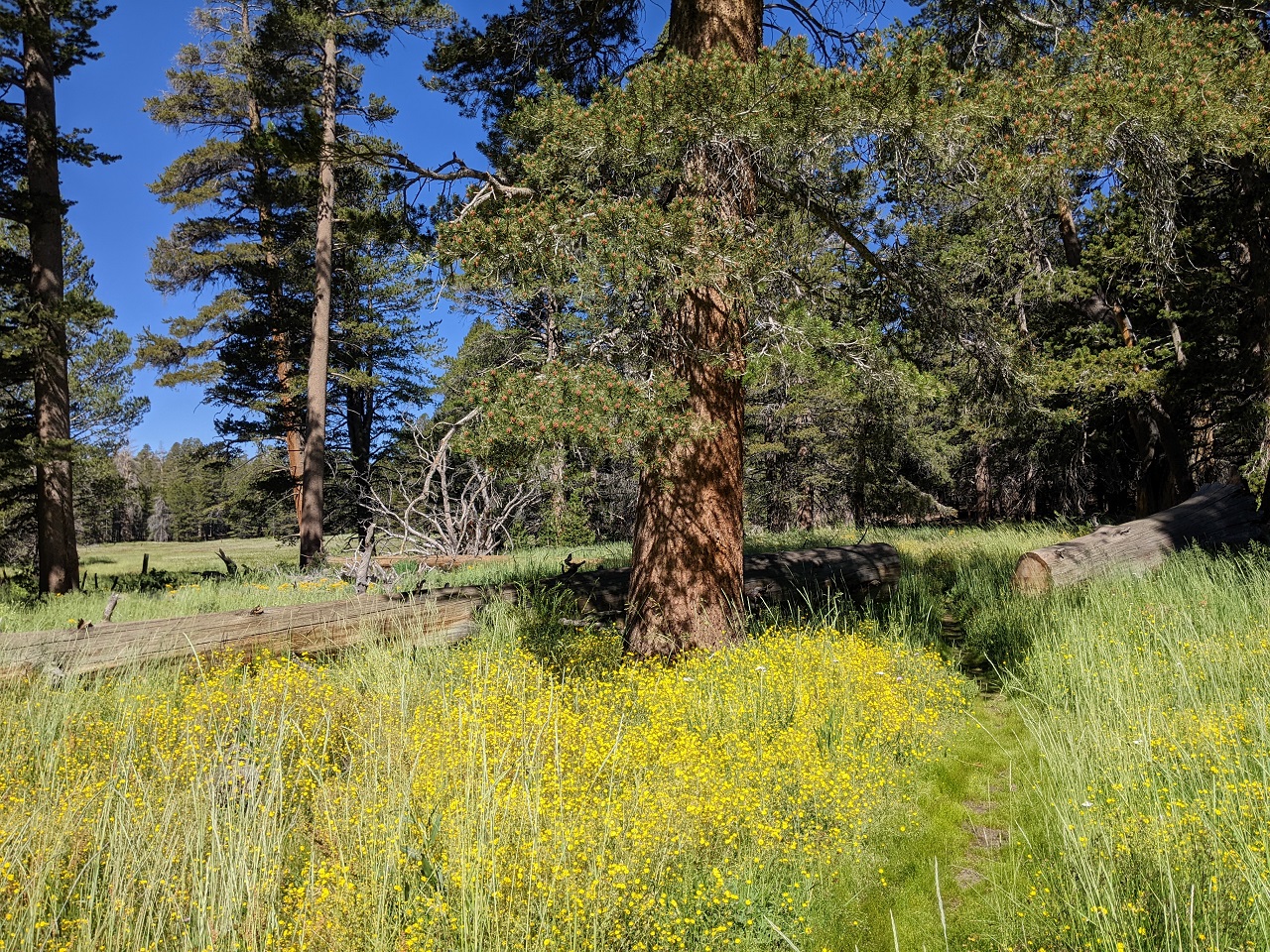
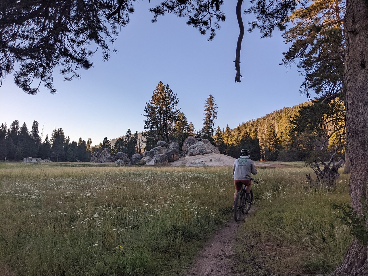
Found a rad campsite up at the north end of Kern Plateau near this pretty meadow. Had a nap.
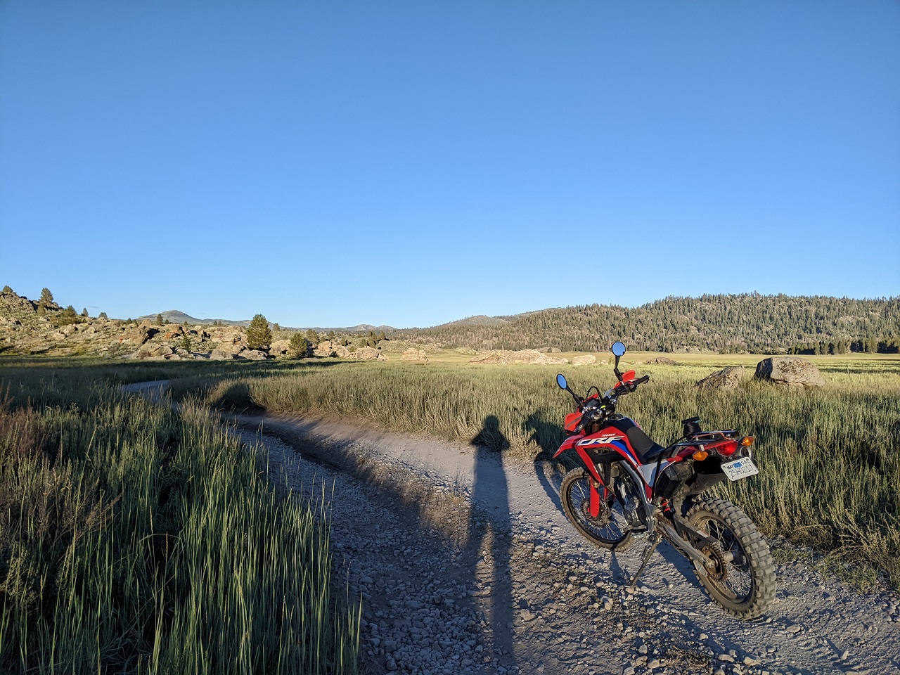
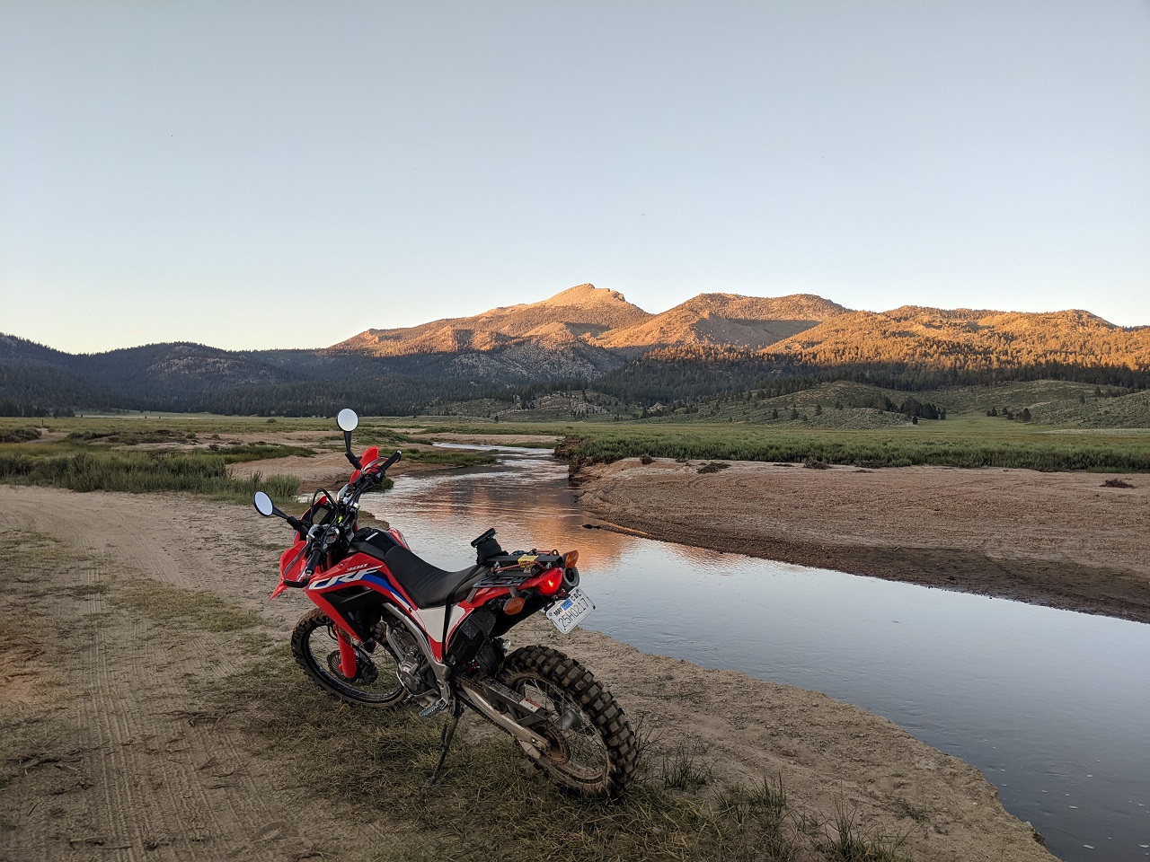
Getting on toward evening it was too late for a MTB ride, but not too late for moto. So I headed back a couple miles where the Monache jeep TH is and followed that down towards Monache Meadow.
Monache is a pretty incredible area. Some USFS cabins and private property with road access, otherwise it would all be locked up in Wilderness.
It was a Wednesday so only saw a couple campers.
Fun little ride, got back just after dark.
Results 51 to 54 of 54
Thread: TR - 2023 SoCal Orogenesis Tour
-
08-30-2023, 01:18 AM #51

 Registered User
- Join Date
- May 2012
- Location
- People's Republic of OB
- Posts
- 5,177
Last edited by evdog; 06-25-2024 at 02:27 PM. Reason: fix links
-
09-07-2023, 01:24 AM #52
Registered User
- Join Date
- May 2012
- Location
- People's Republic of OB
- Posts
- 5,177
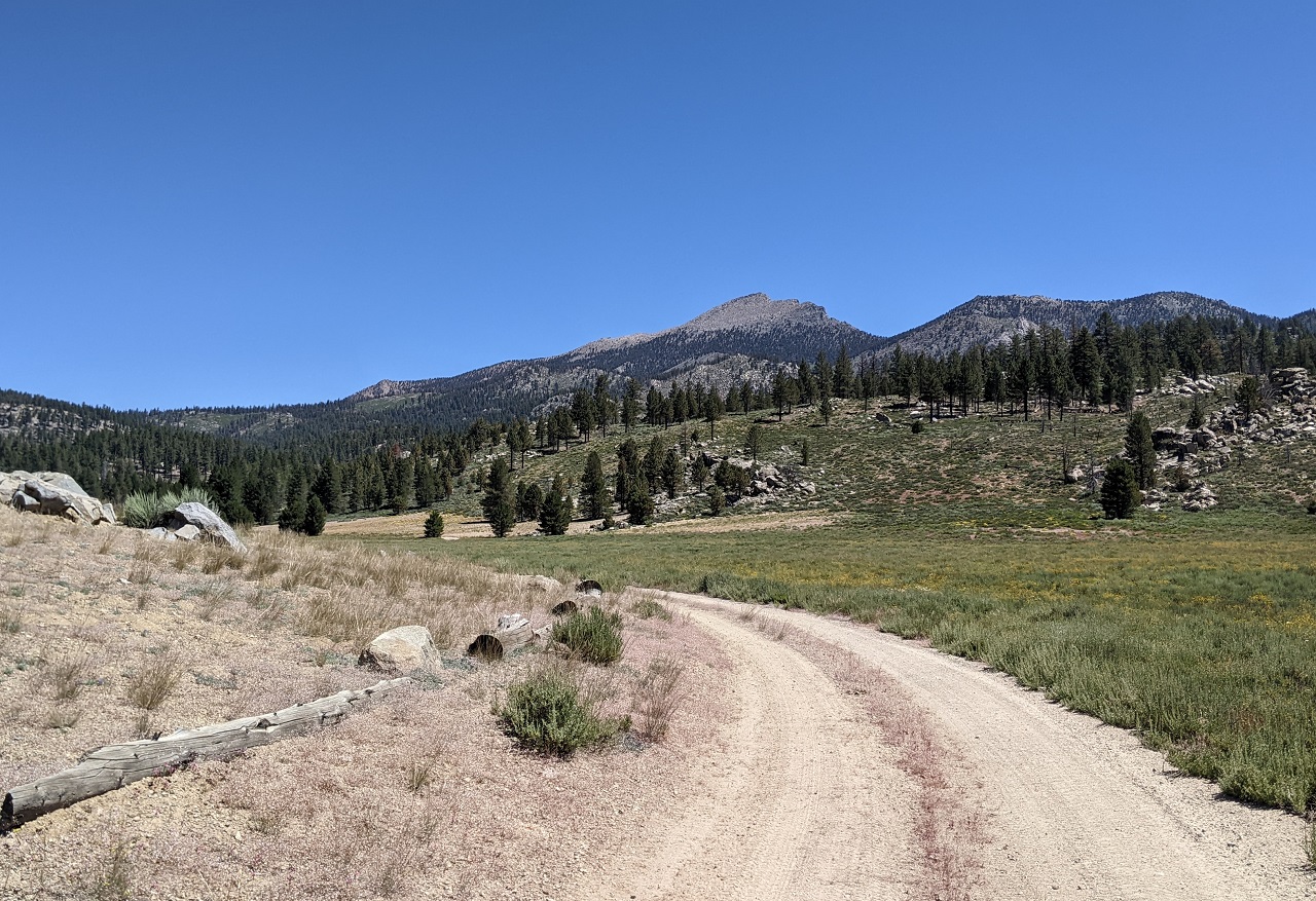
On the moto ride I covered some of the main roads in Monache Meadow. My big plan for the trip was to check out as many side trails and connections as possible and hopefully find a nice bikepacking loop through the area.
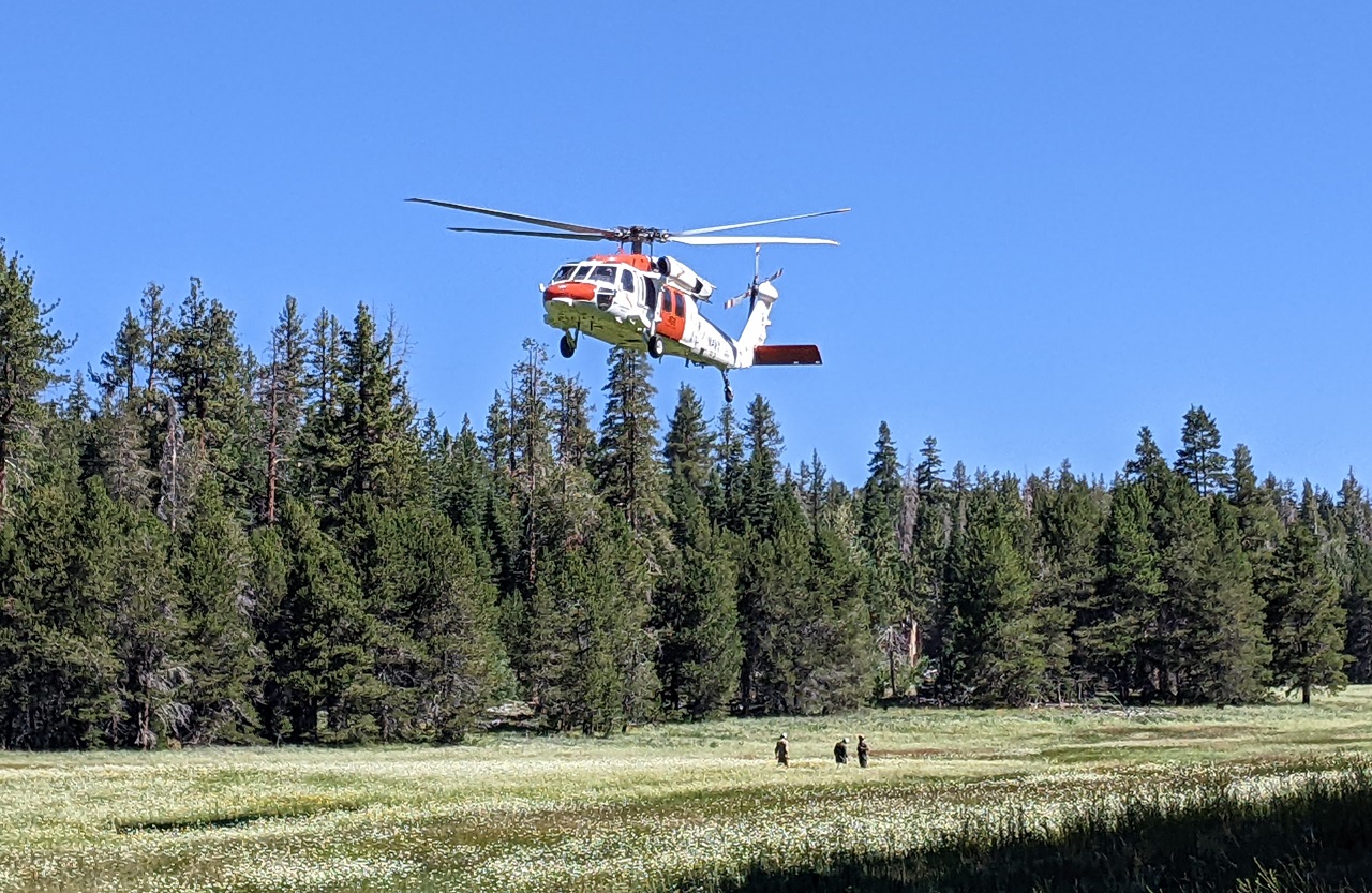
A bit of excitement as I was getting ready to ride. A helo started circling overhead repeatedly, looked like search and rescue. I rode over to the nearby meadow and saw it had dropped off a few guys who seemed to be looking for something on the ground. Helo would take off, circle, land, repeat, numerous times. Turned out to be a Navy helicoptor. No idea what they were doing. Finally they loaded up and took off for good.
The trail was right there so I started riding.
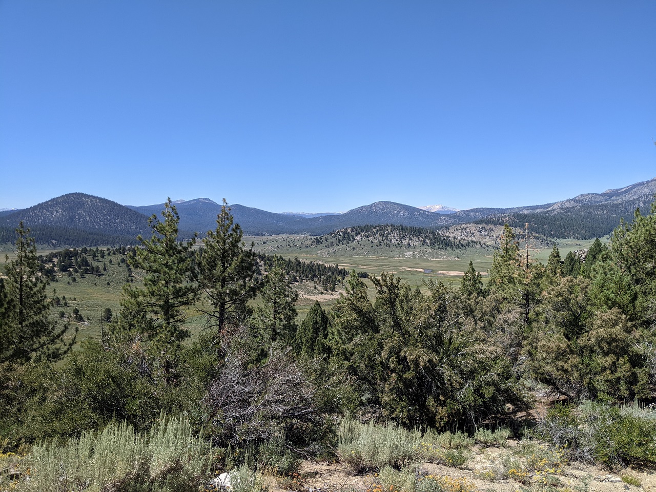
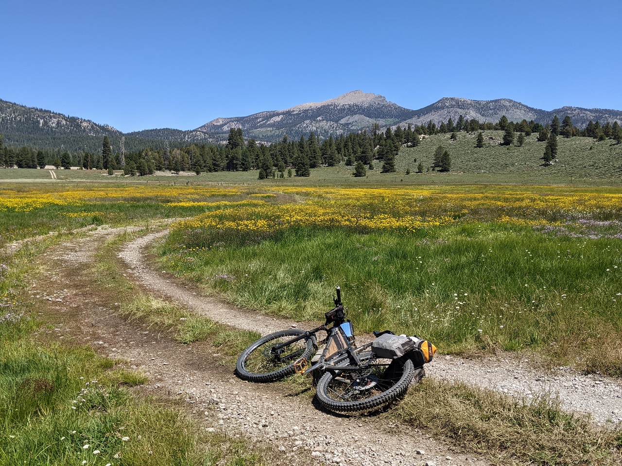
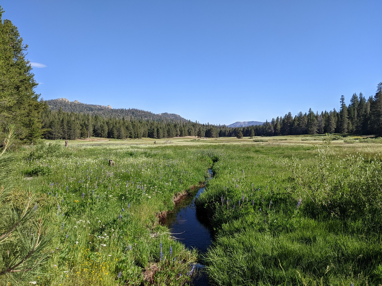
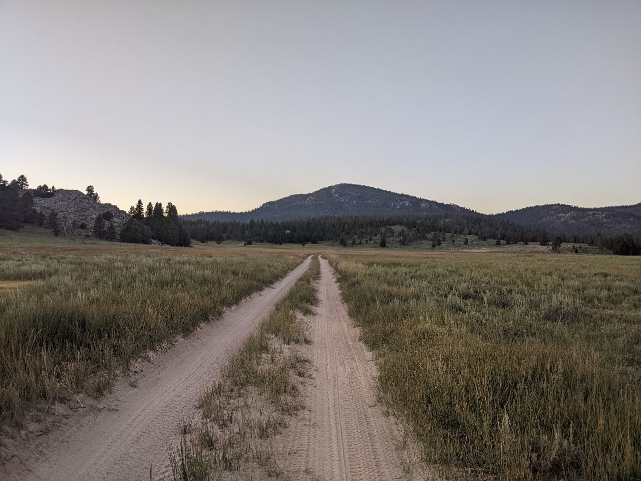
Kern Plateau is full of pretty meadows. Wildflowers were out. Maybe that's what the navy was checking out
It is also moto central. Some of the trails are great for bikes, others not so much. This one was pretty good. That's why you scout them all
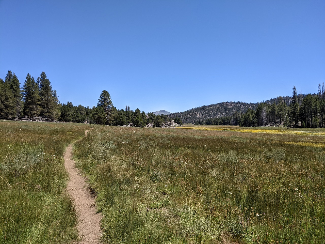
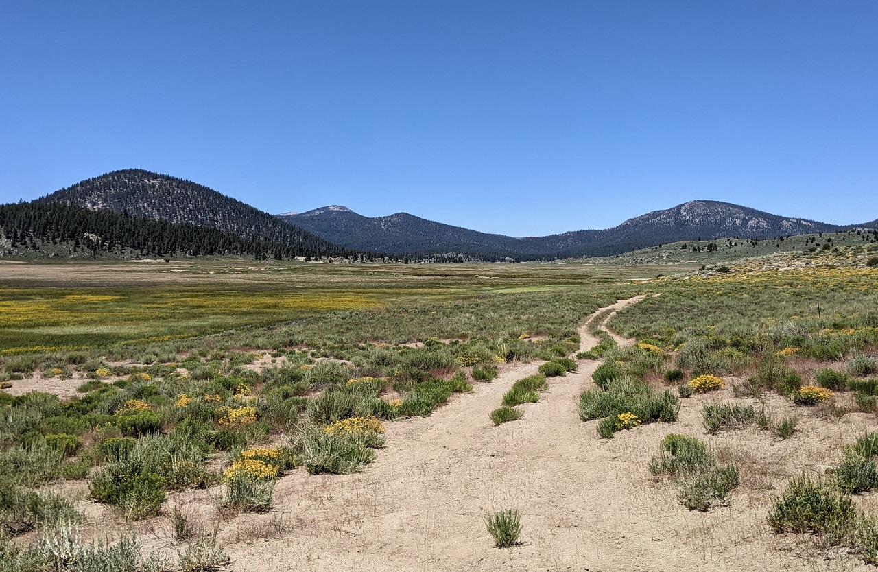
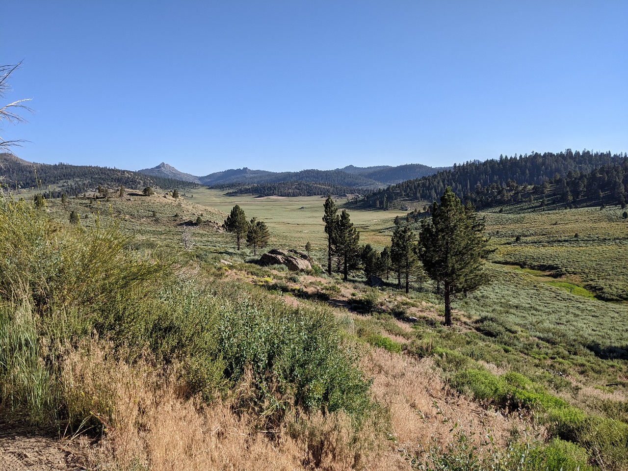
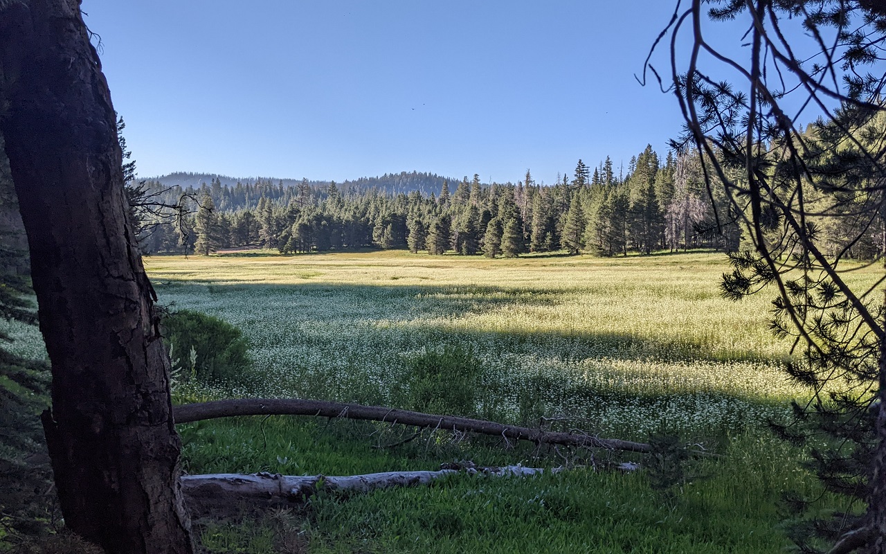
Dropping down to the bottom brings you into a whole network of meadows
Pretty iconic view of Olancha Peak here
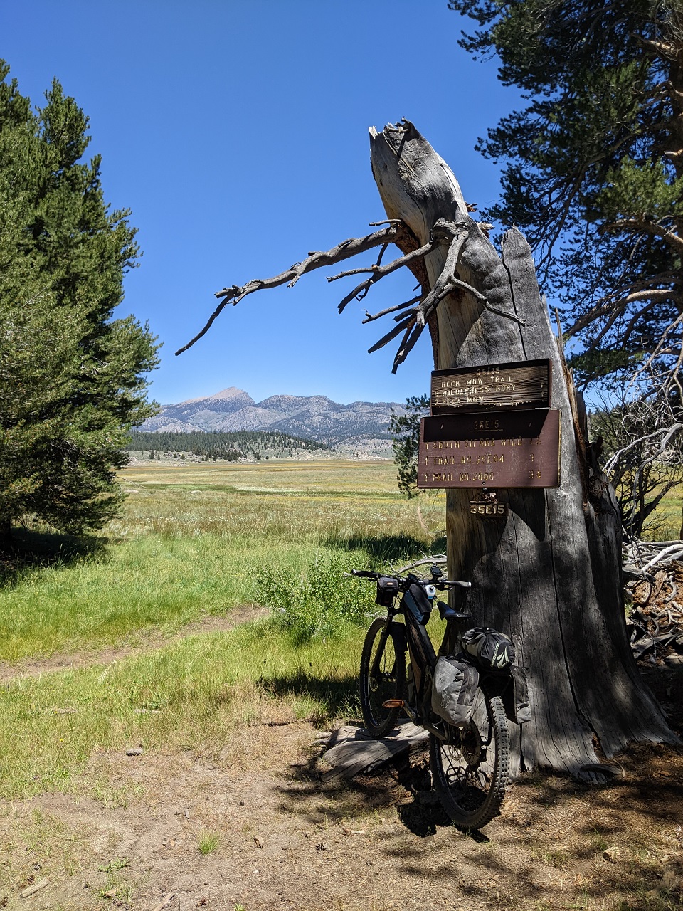
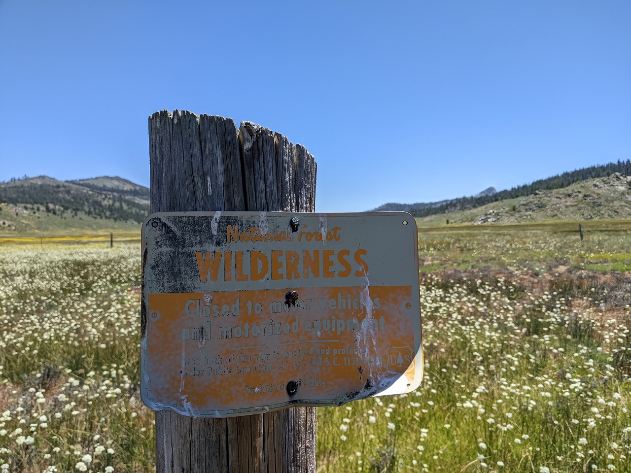
I followed a track east and came to the Wilderness boundary. Pre-1984 Wilderness sign. No motor, no problem! I like it...
Picked up a primitive jeep road for a bit.
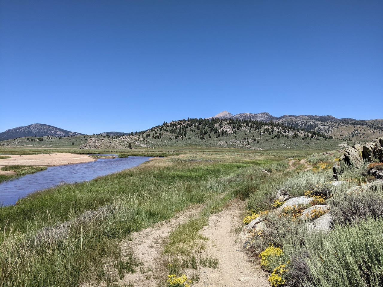
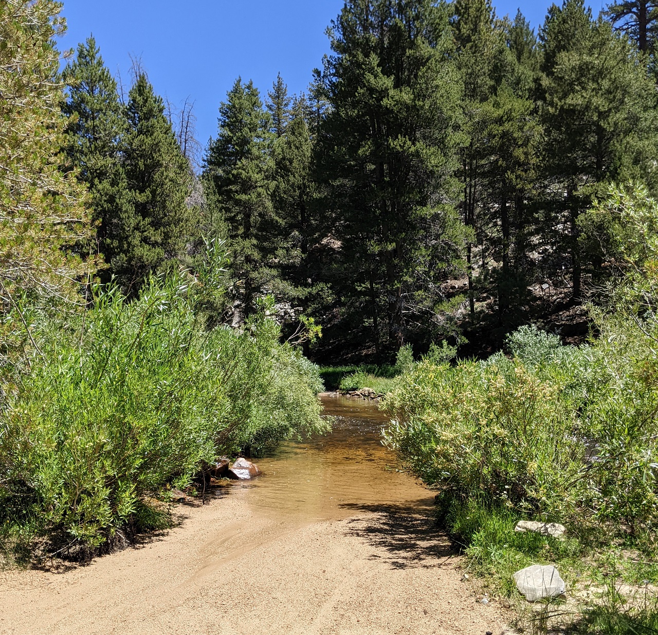
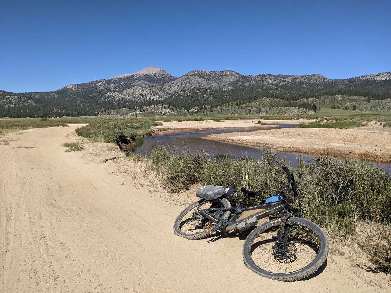
After a marshy crossing I continued and then crossed the South Fork of the Kern River for the first of many times.
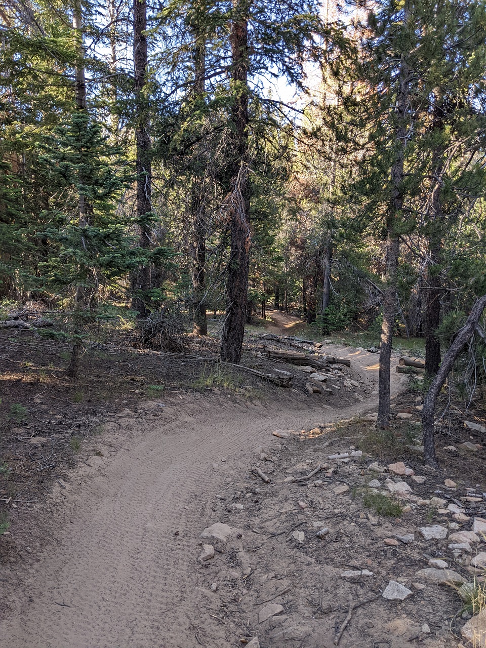
More primitive double track on another spur
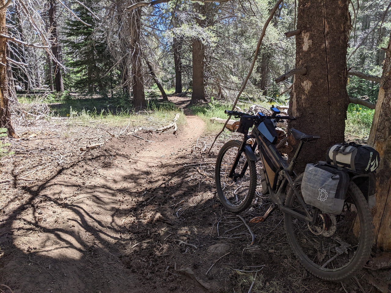
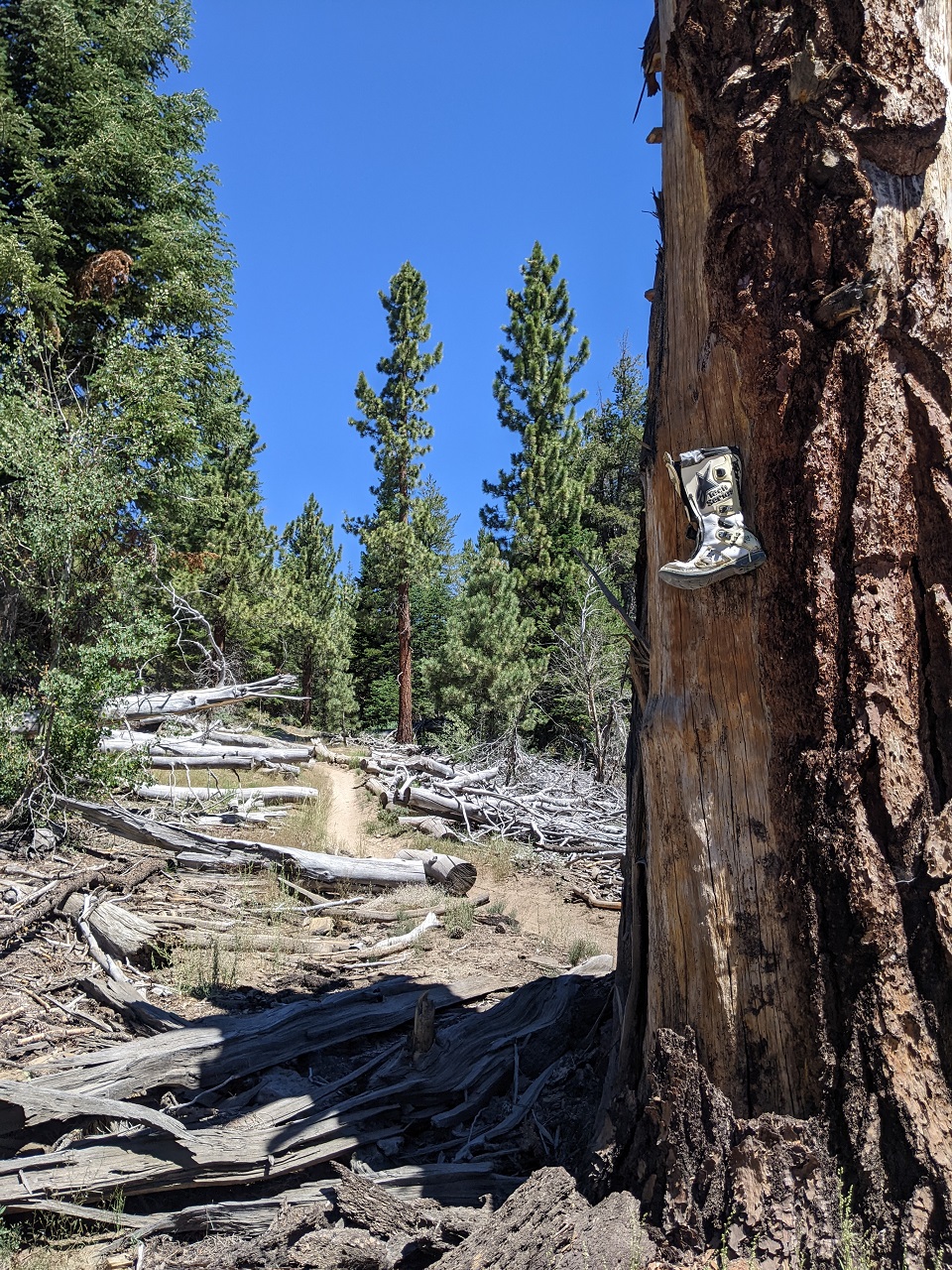
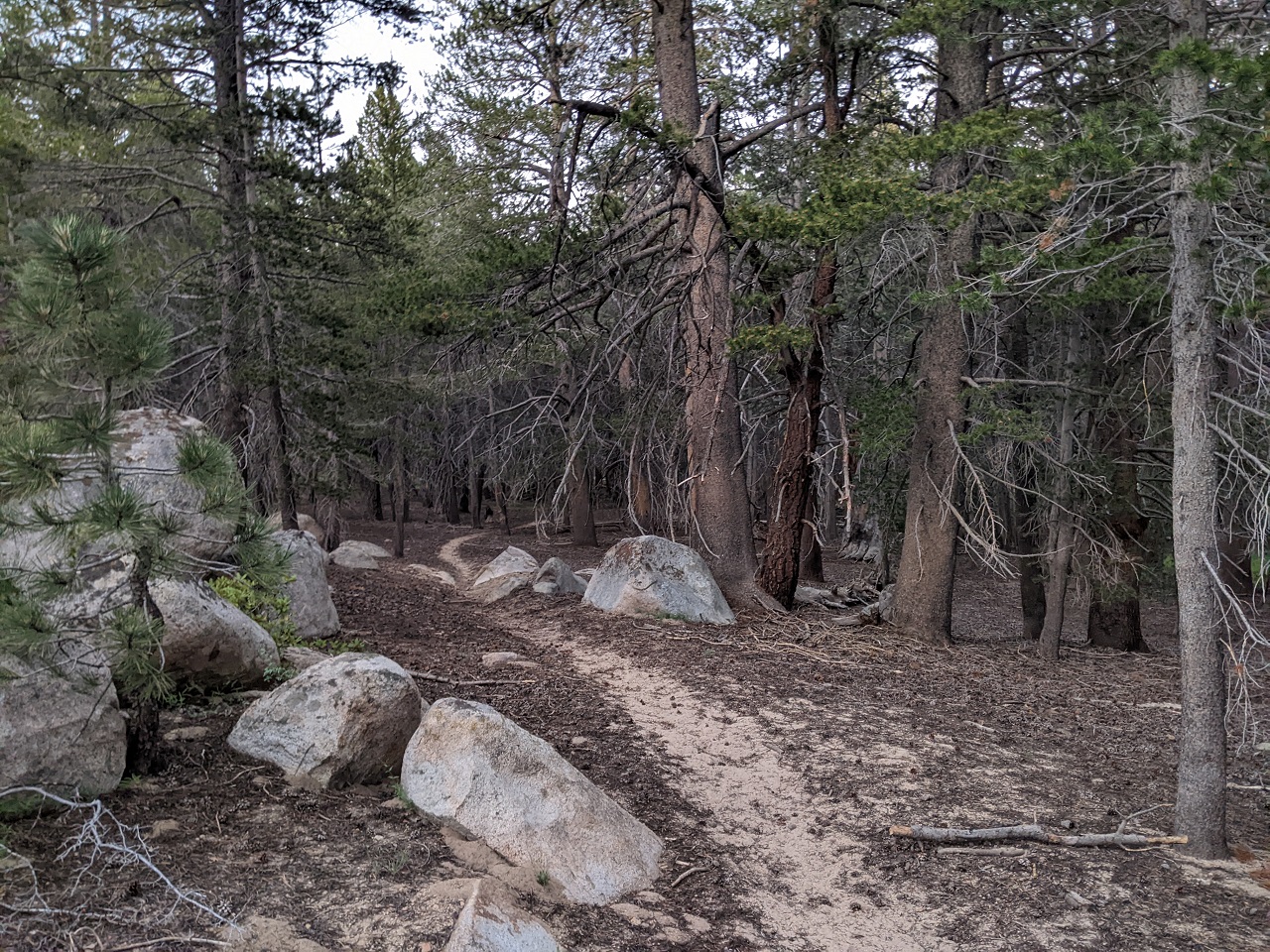
Led to a bit of nice singletrack to another dead end for bikes
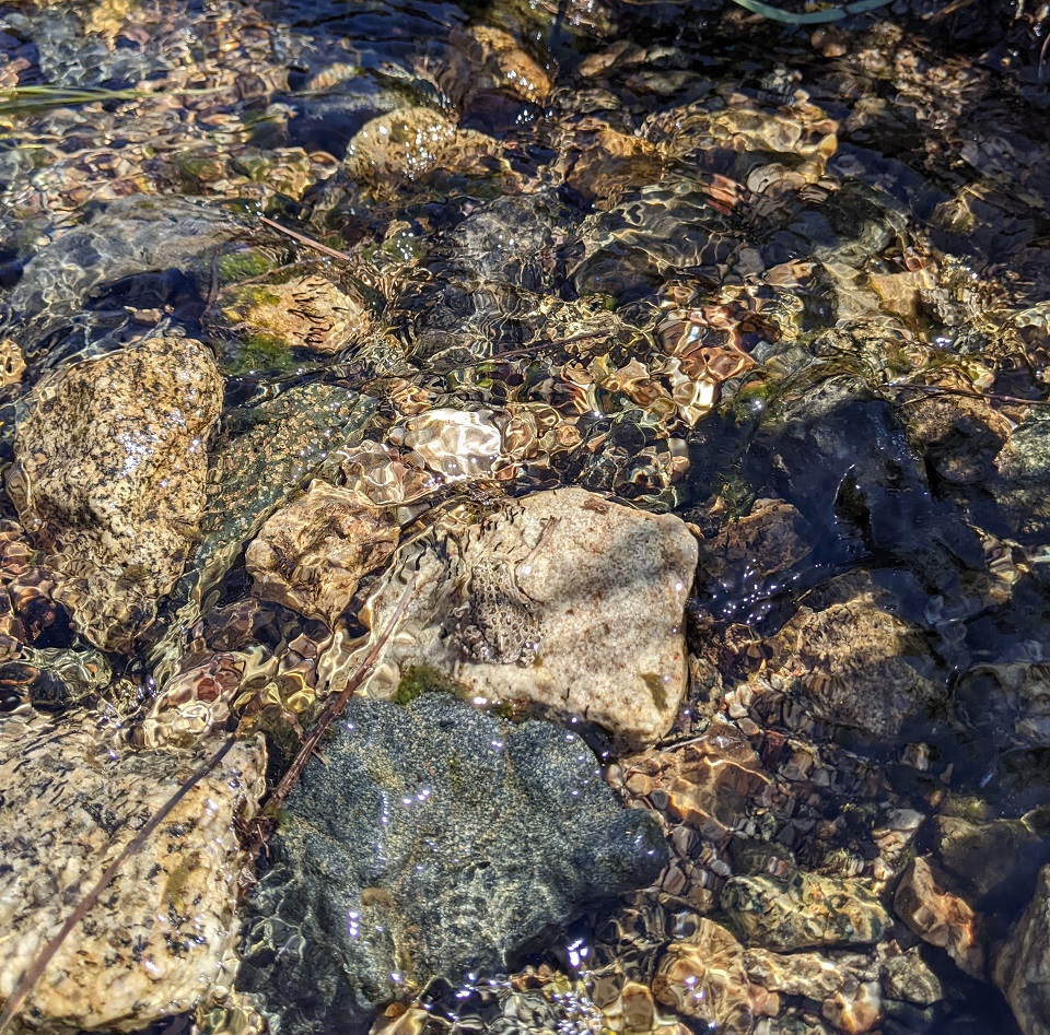
Lots of froggers in the meadows and streams. Can you see it? Was only the size of a thimble
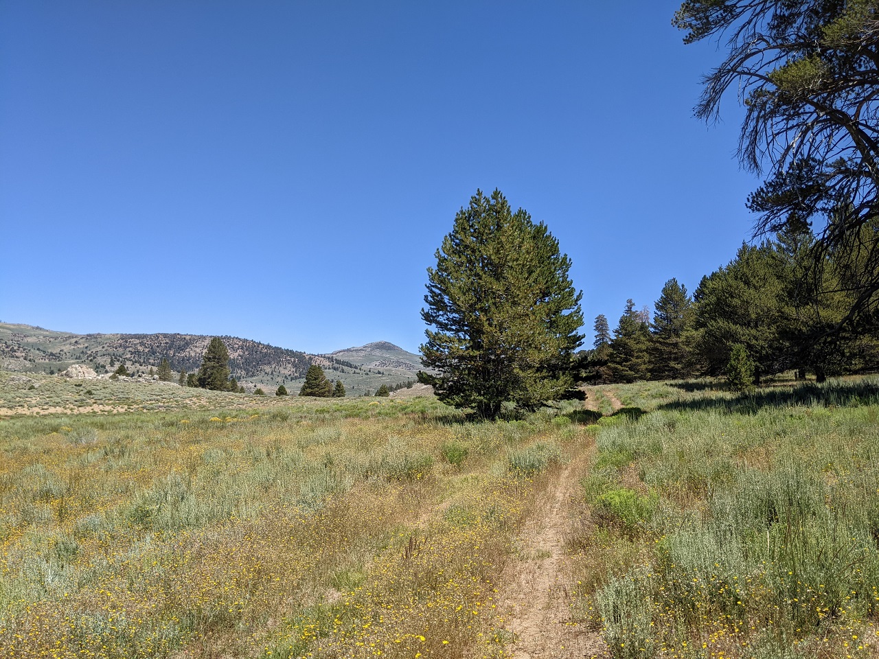
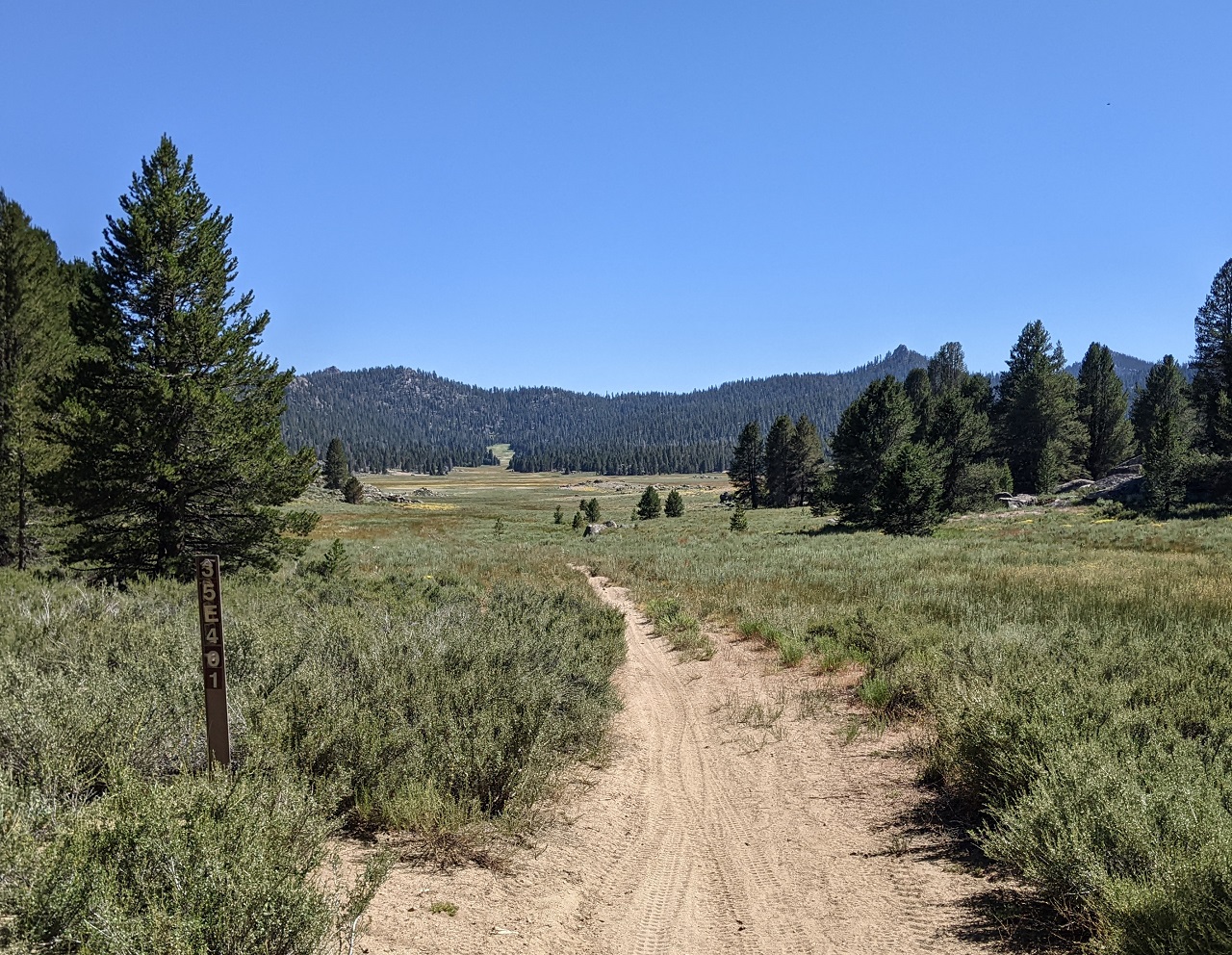
Found a bit more trail up a side canyon
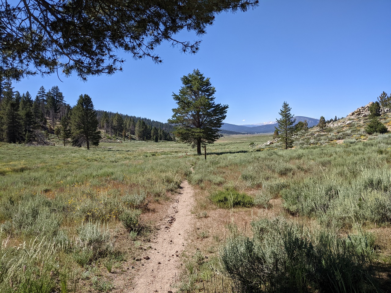
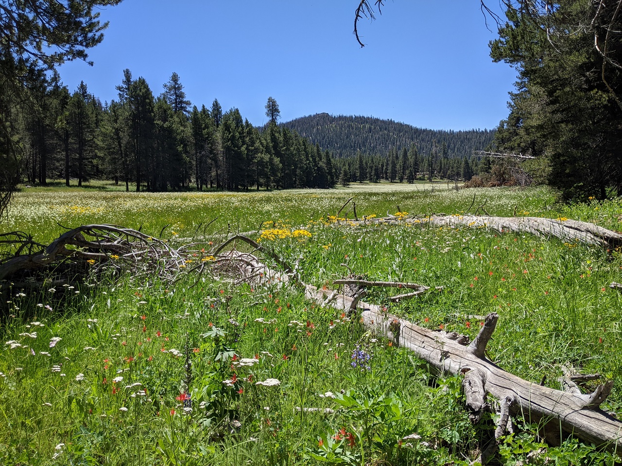
With a nice view of a meadow
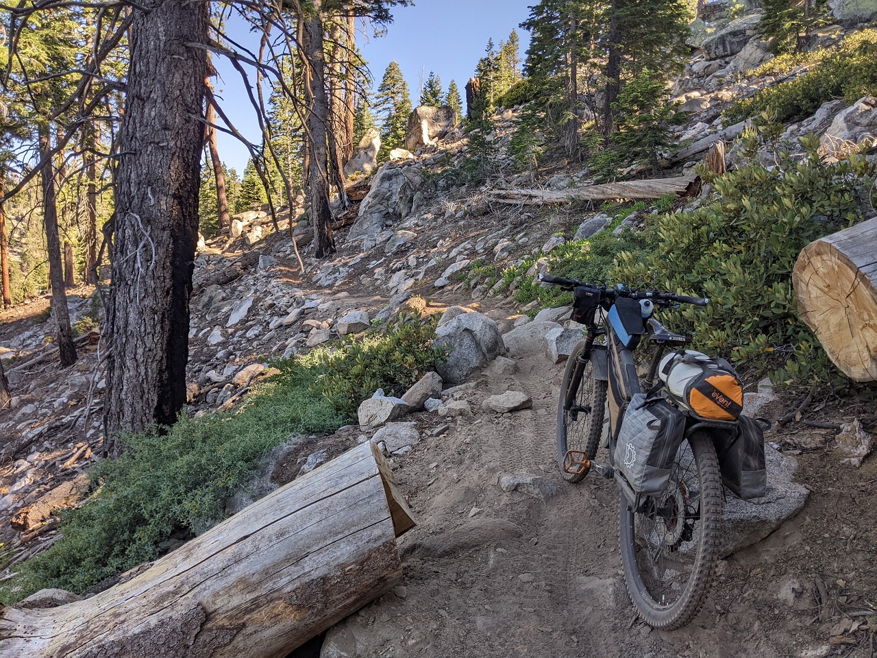
It climbed a bit higher
Into the rocks and not at the Wilderness boundary yet. Nice.
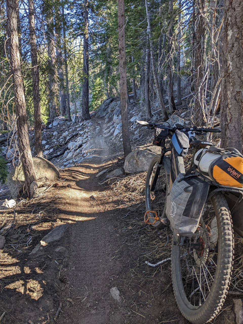
Things got a bit sandy up top
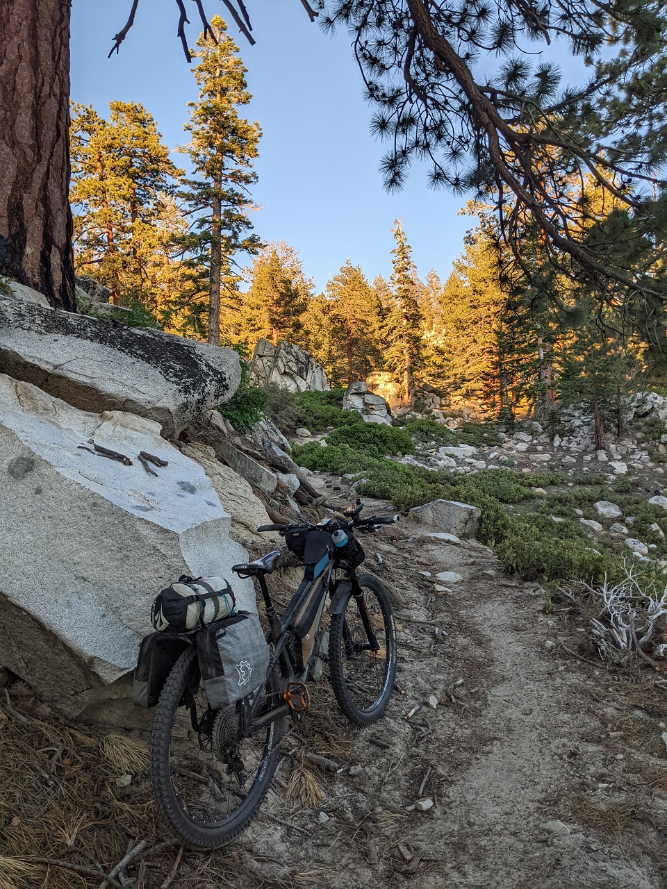
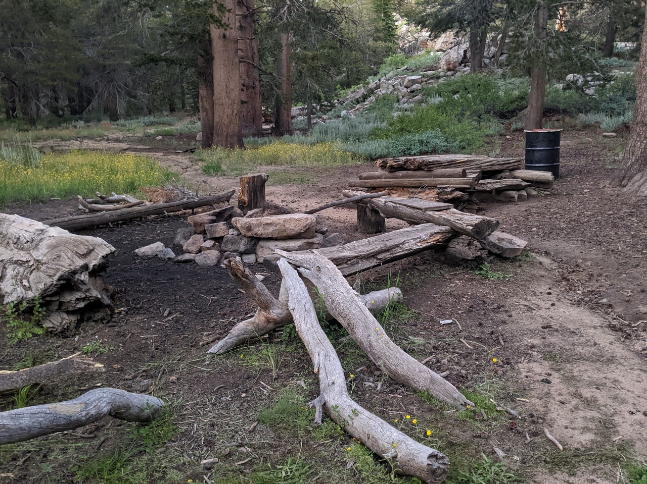
But just around the corner was a nice campsite. That was it for the night. Quick dinner and I was out... 25mi and 3,330 climbing.
Last edited by evdog; 06-25-2024 at 02:28 PM.
-
09-07-2023, 03:02 AM #53
Registered User
- Join Date
- May 2012
- Location
- People's Republic of OB
- Posts
- 5,177
Day 2 of Monache bikepack.
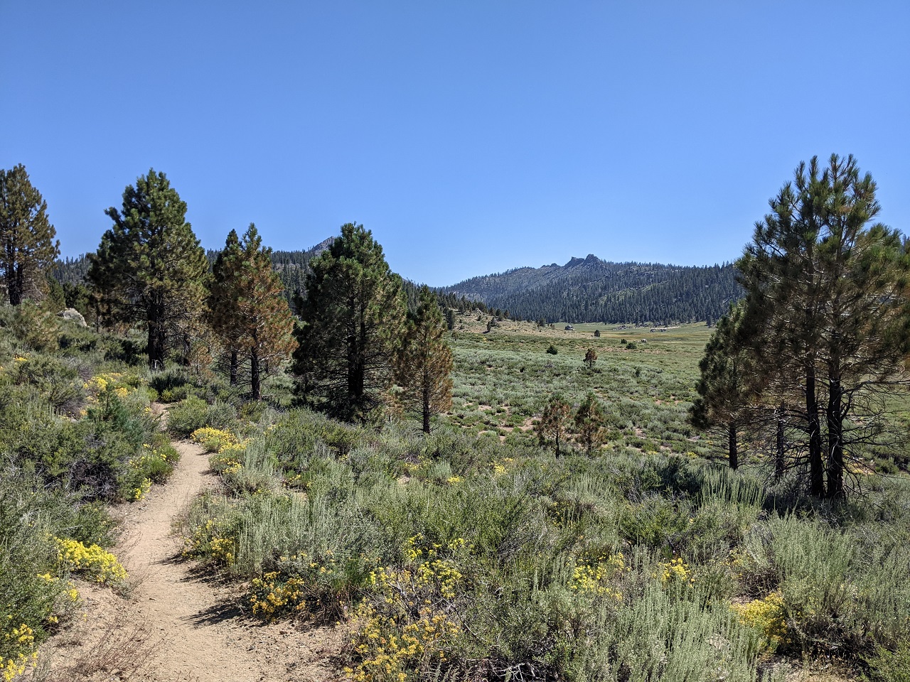
Pretty ride out of camp
I was up on a ridgeline and soon had a killer view of the meadows below
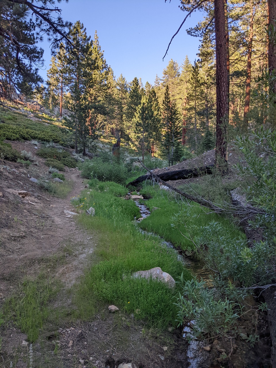
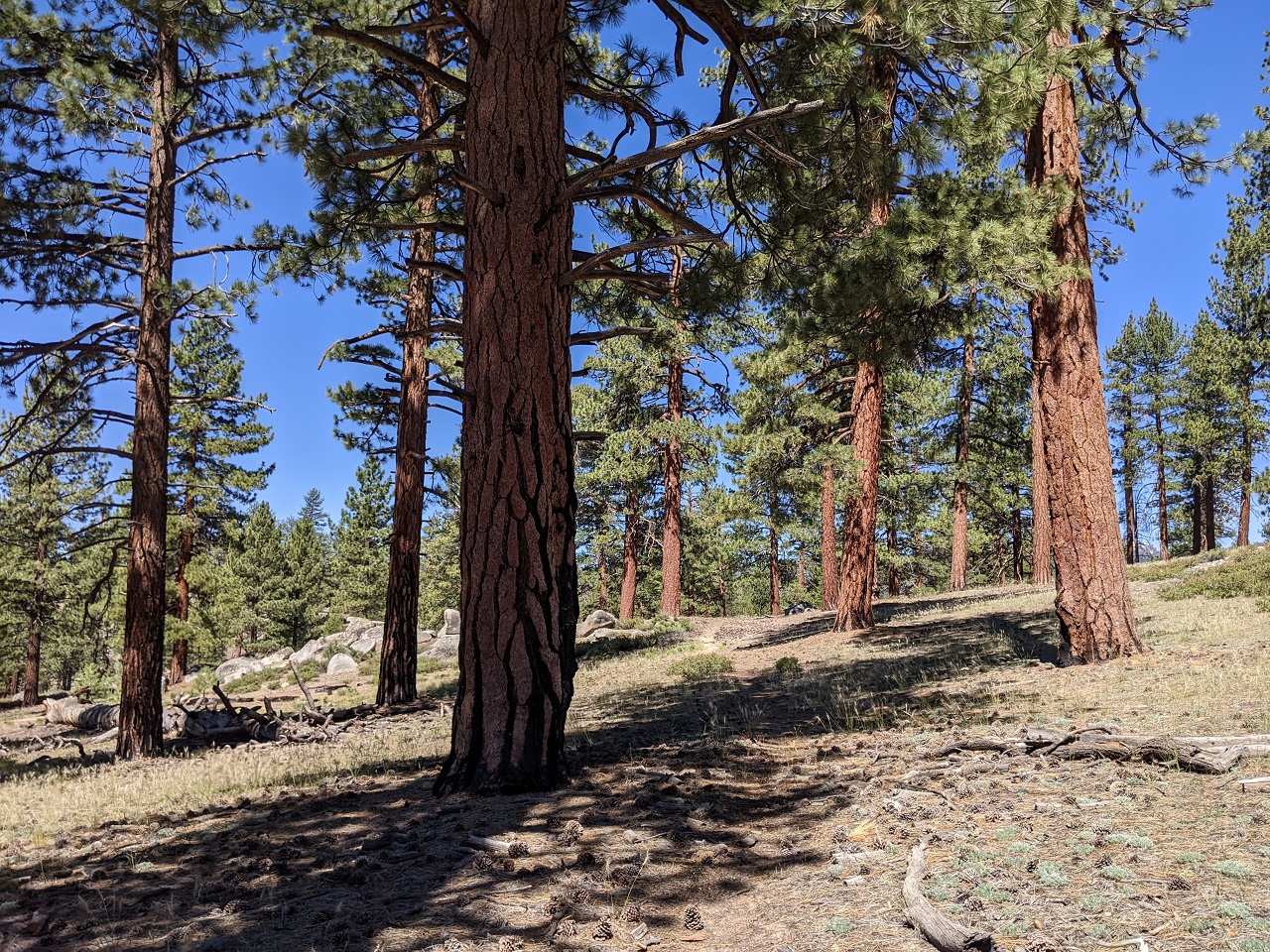
The route also passed through some nice timber on the descent
Checking out another side trail
And another...this one was refreshing, and I got to wade it twice since the road didn't go too far beyond this.
Was hoping this one would connect to some singletrack but there was no sign of trail at the end.
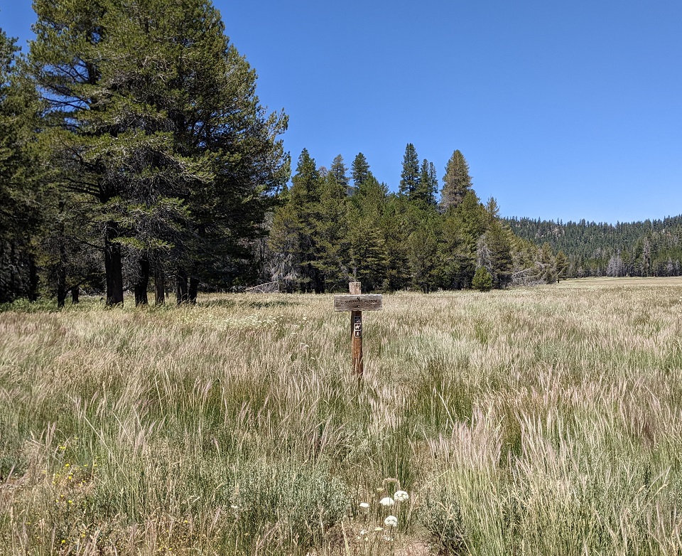
This one had a sign. But no sign of the actual trail. Pass.
I climbed up this OHV trail for quite a while. Came to a Wilderness boundary with sign stating motor vehicles of private landowners can pass with a permit.
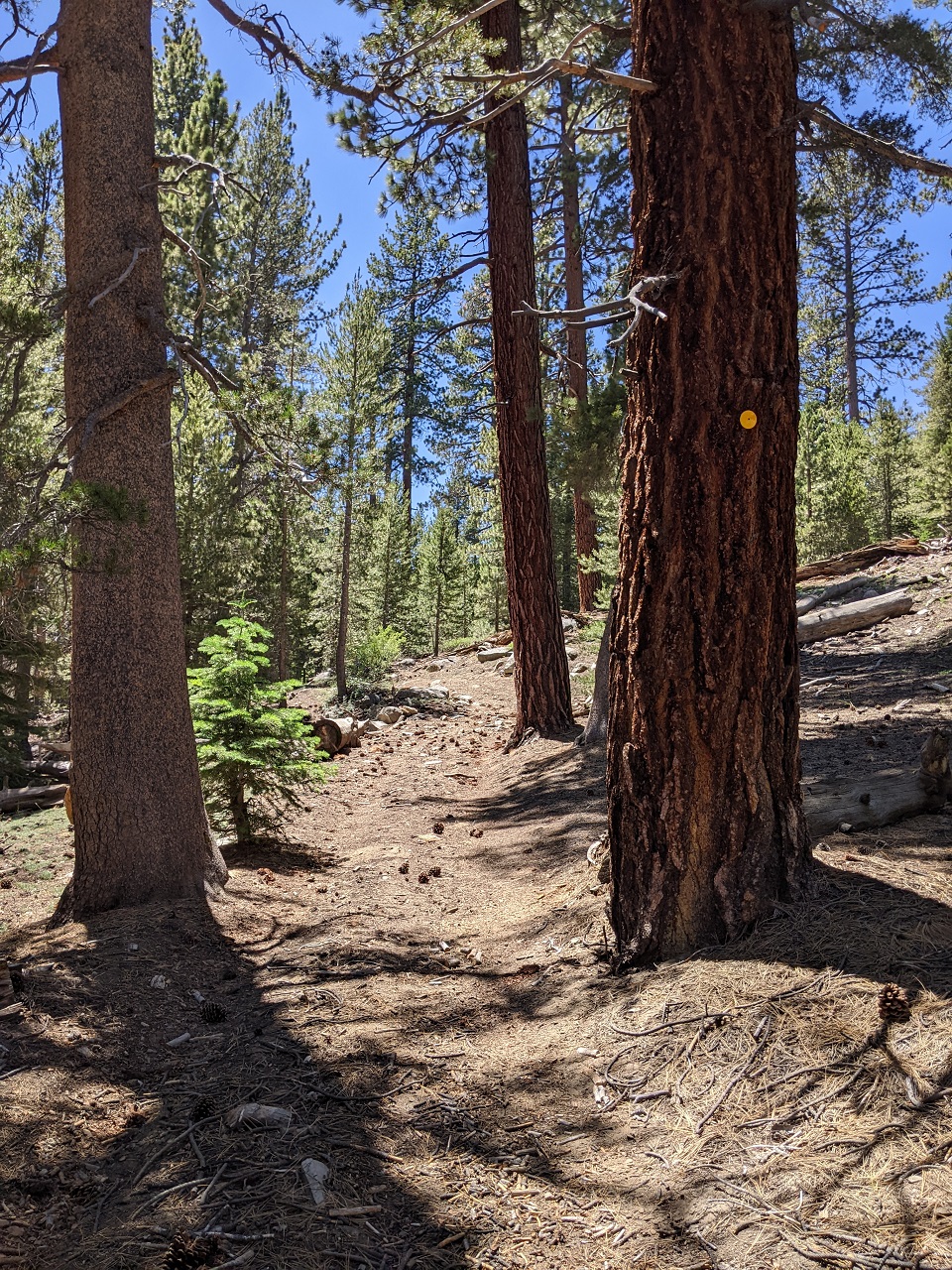
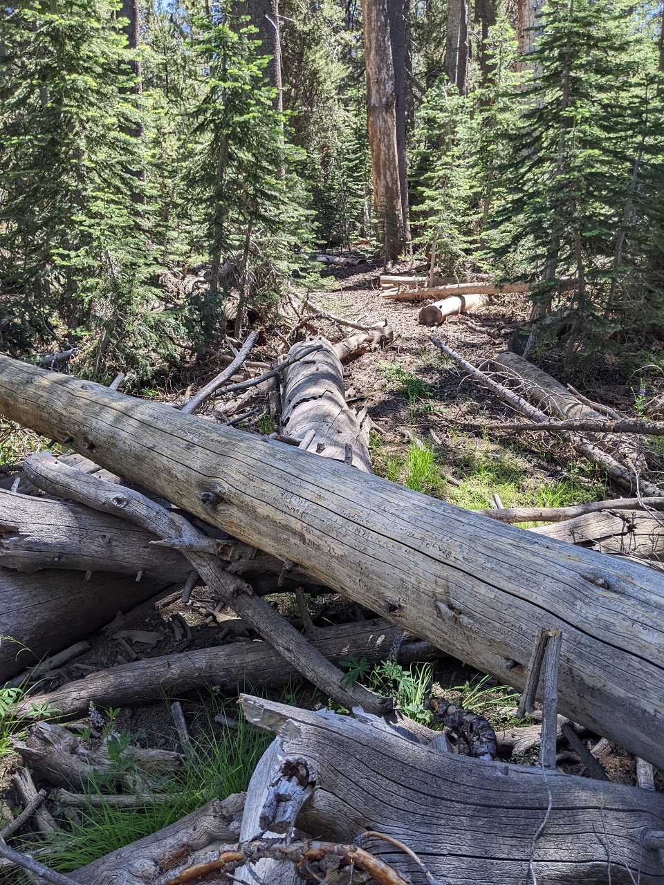
OK, so I ditched the bike since the trail I was looking for was a short ways down. Actually found this one, including blazes on trees and some visible cut logs. No visible tread though after walking a quarter mile, and found some large trees down that had obviously been there a very long time. No bueno.
Time to finish this. Rode back along the main jeep road.
And more moto trail though meadows
Climb out was tough but mostly rideable
Legs were tired so it did take a while
But was rewarded with a nice happy ending back to camp.
Camp was on the far side of the meadow, which the trail went around.
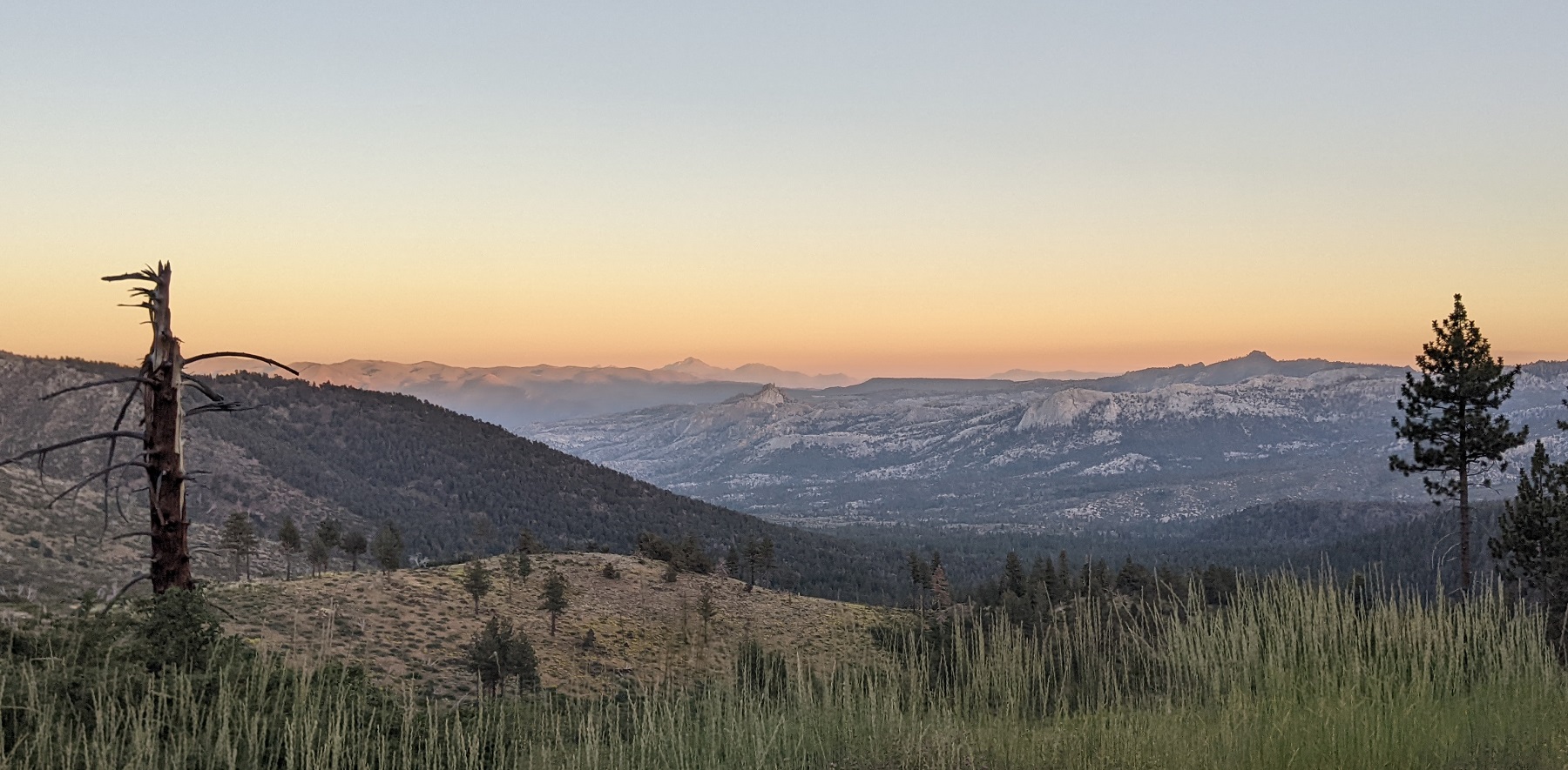
View over Domeland Wilderness on the drive after.
I can't say I was able to add much to the Orogenesis Route in Monache Meadow. Most of the singletrack trails are out and backs to the Wilderness boundary, and many that are on the map do not exist on the ground. I would add a bit to the route along Monache Jeep trail and then south back to Jackass Peak Trail, but that's about it. Cool place though. But holy hell did it get busy with Broverlanders by Friday when I was headed out. Just on a 3-4 mile stretch of the main jeep road I was passed by numerous convoys of 5-10 tacomas/4-runners/jeeps/pickups headed in. Apparently no one carpools anymore.Last edited by evdog; 06-25-2024 at 02:30 PM.
-
09-13-2023, 09:30 AM #54
Registered User
- Join Date
- May 2012
- Location
- People's Republic of OB
- Posts
- 5,177
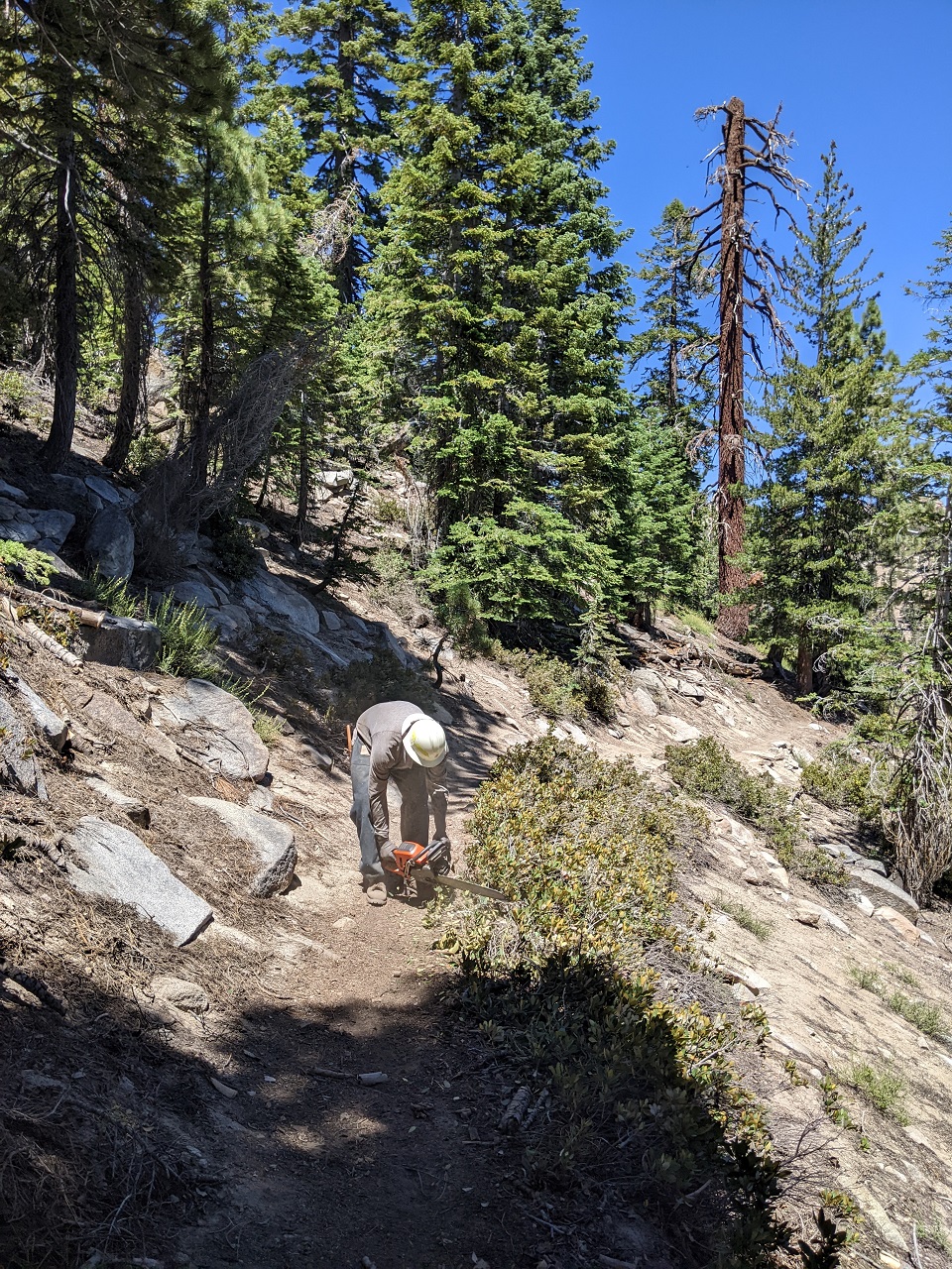
The other big reason for this trip was a vacation trail work campout with Brent of Kern River Valley MTB Association and Lowelifes. Matt from Lowelifes has a place in Kernville and comes up often to ride and help KRVMBA out with trailwork. Since it's too hot during summer to work in the San Gabriels they decided to have a couple weekend trips to Kernville.
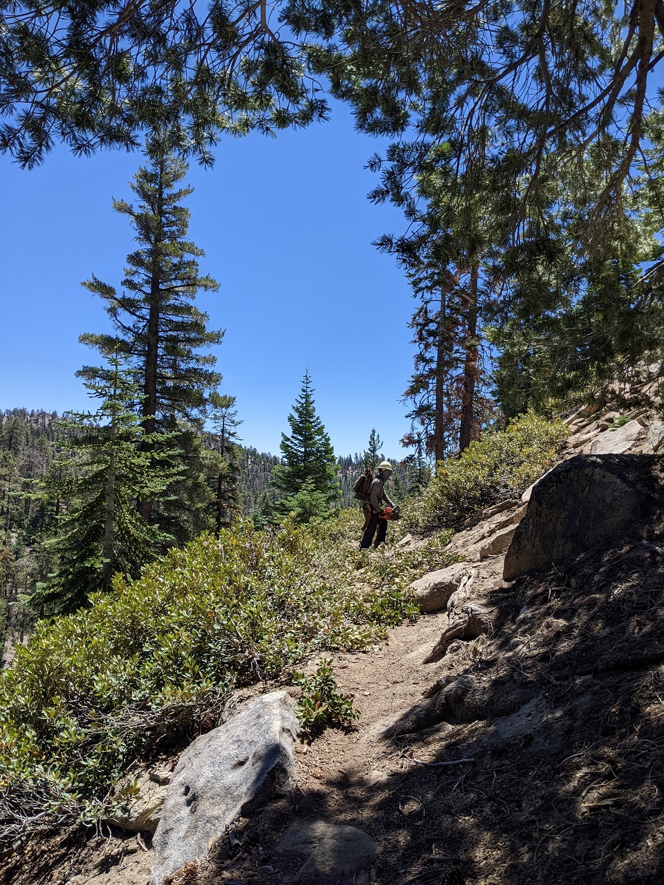
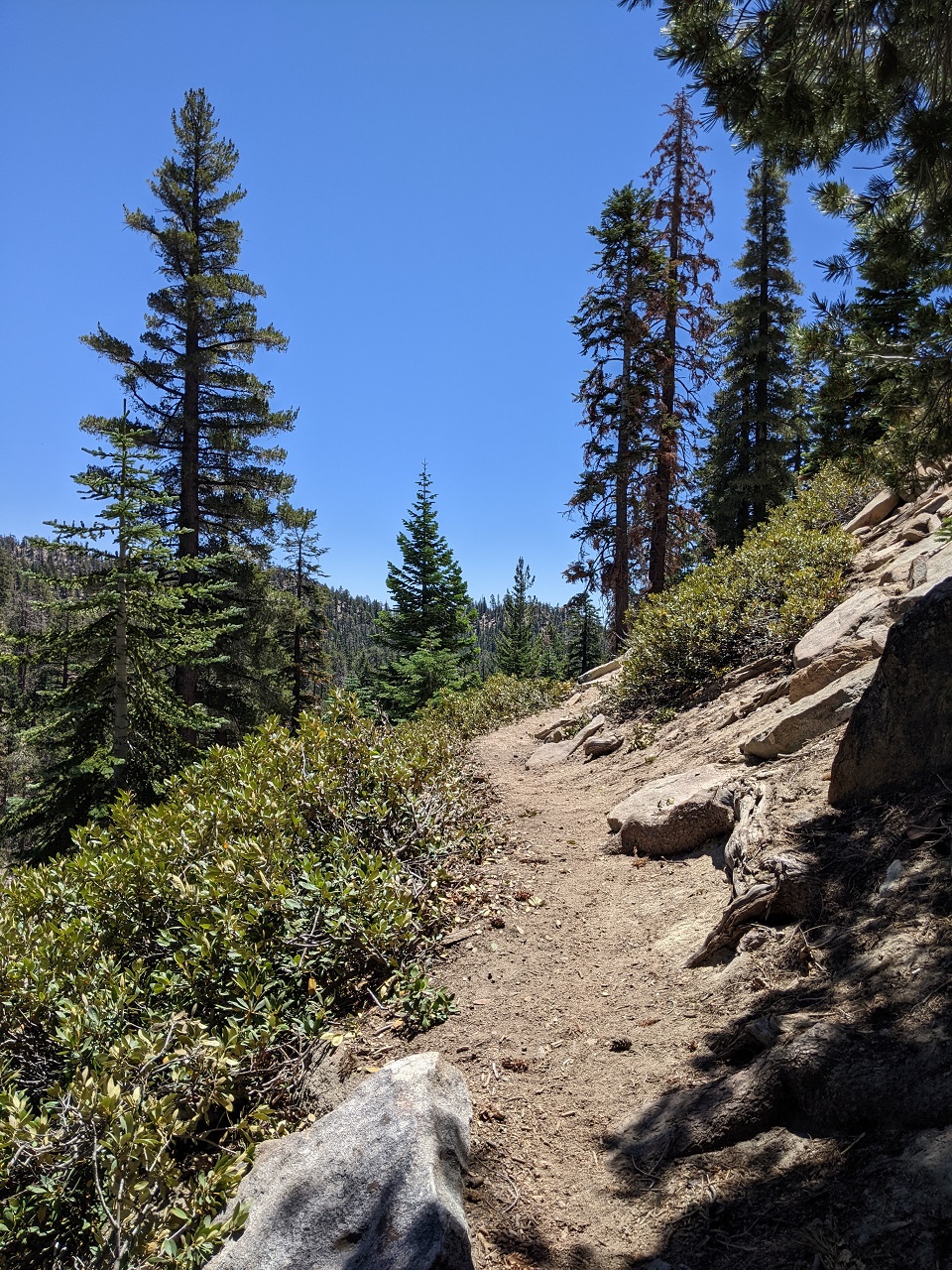
Met up with them in the morning and got right to work. We were working on the non-motorized section of Cannell between Big Meadow and the top of the Plunge.
Cannell is also part of the Orogenesis route (what good trail isn't???). We are going to end up with a route up the east side and another up the west side of the Sierras (and thus also a loop all the way around). On the east side the trail will climb up Cannell from Kernville and then cross Kern Plateau and run through the Monache area I was just at. Pity the fool who heads northbound on the east side who has to climb up Cannell : ) That's 5k straight up.
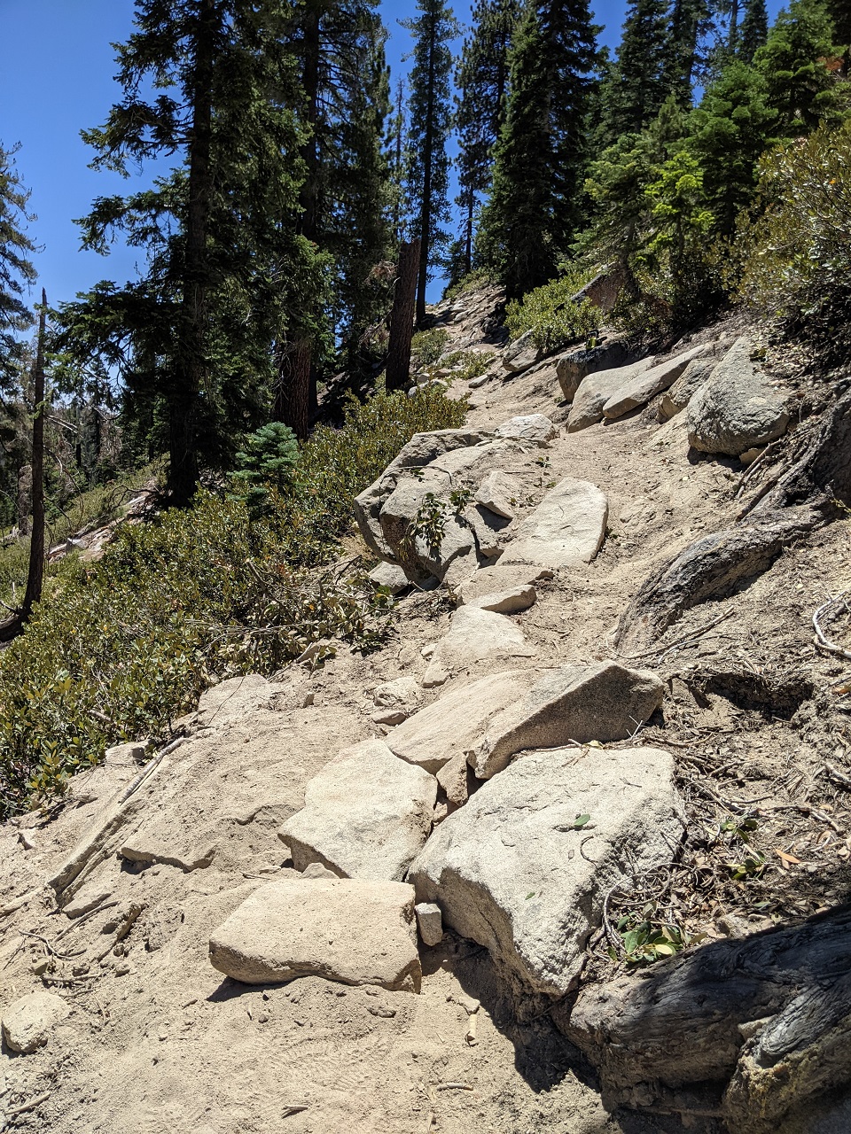
During:
After:
I fixed up this rock ramp so it is rideable again.
Brent would go through with chainsaw then I'd clean toss the debris off trail and lop any stragglers off.
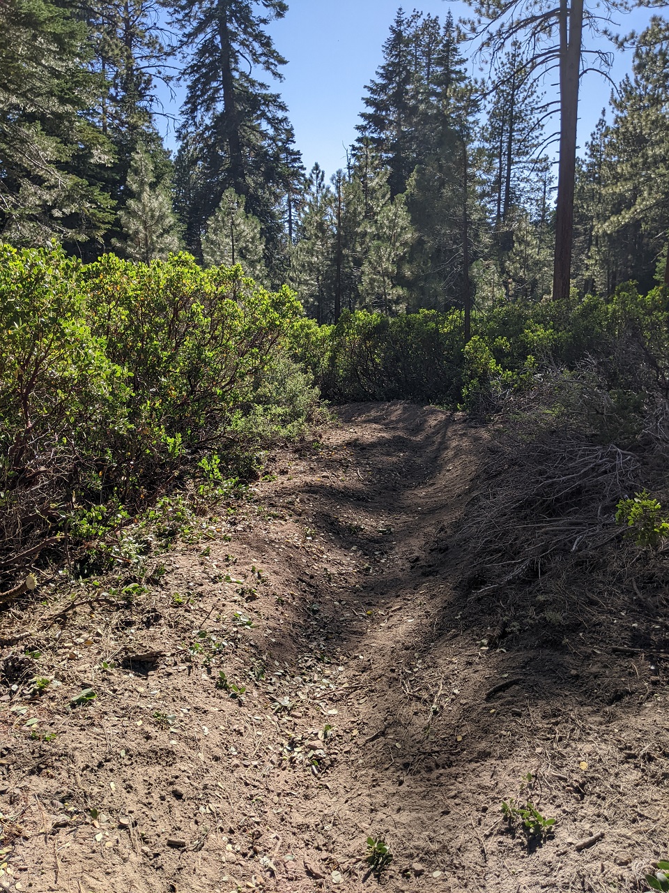
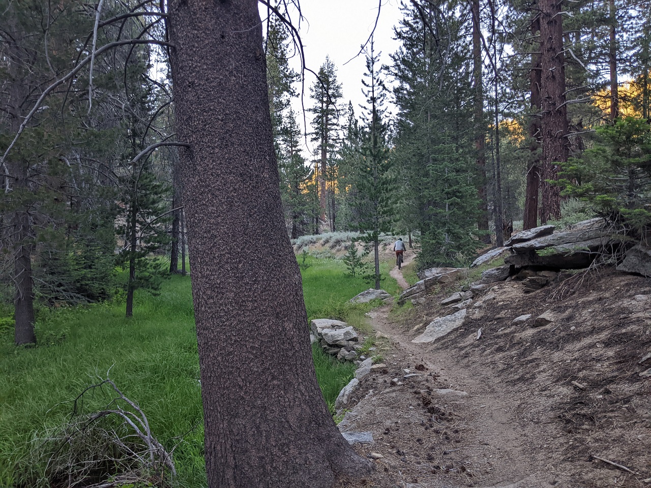
Another section done. We got most of the 2 miles north of Cannell Meadow done the first day, while another crew worked between the meadow and top of the Plunge.
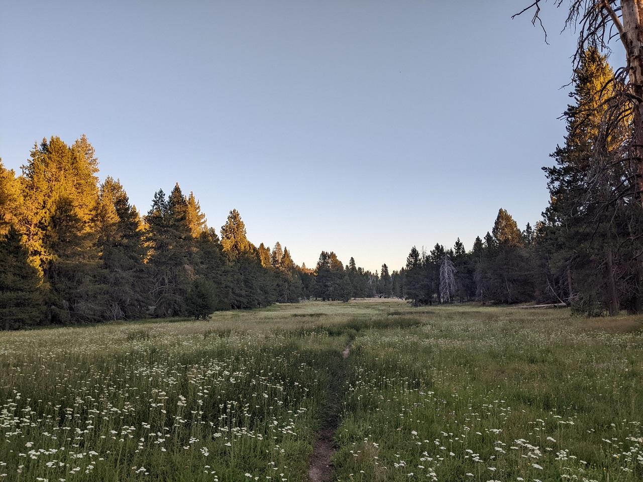
After work ride from camp north through the meadow
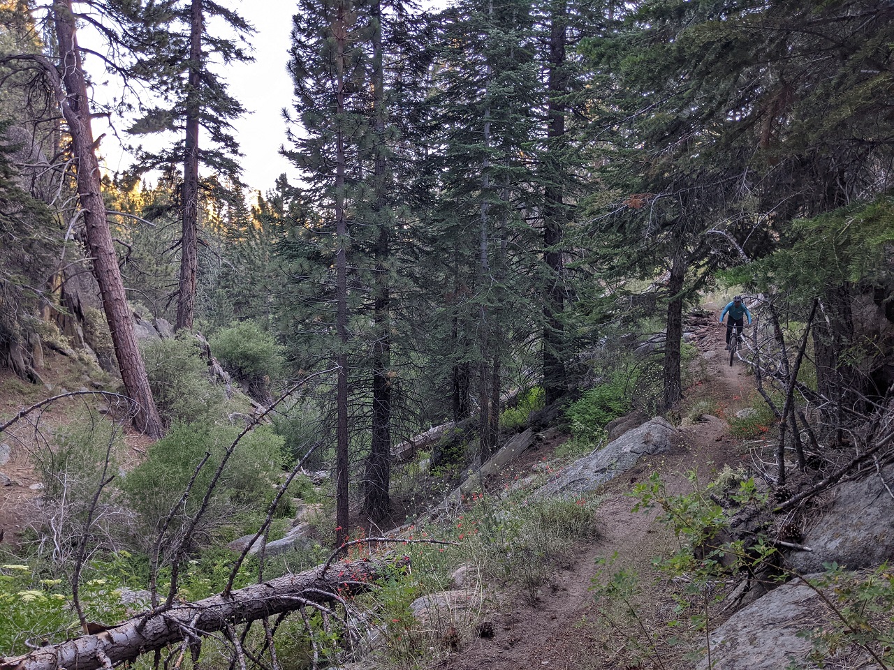
Camp was just south of Cannell Meadow at the last road crossing. This is a really nice section of trail with a bit of embedded rock to make it interesting.
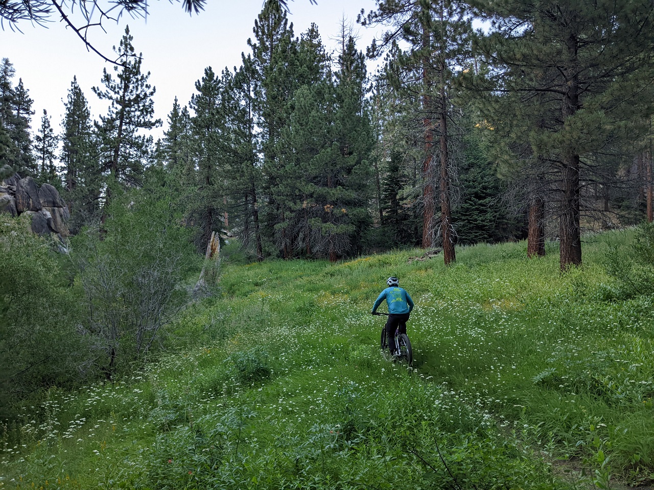
Cannell Meadow. Look careful you might spot the rest of the group a ways out.
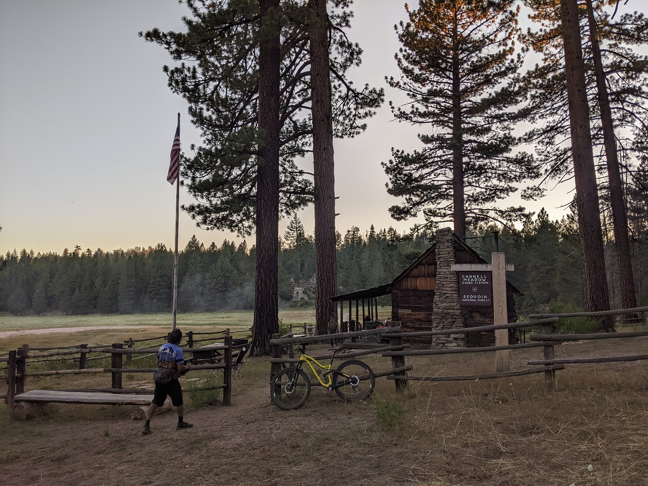
We rode up to the USFS cabin and found a group of volunteers from Los Padres NF there. So we aren't the only ones up here to escape the heat : )
Then raced the fading light back to camp for tacos and campfire. I couldn't stick around for day 2 but the trailwork continued down the top of the Plunge.Last edited by evdog; 06-25-2024 at 02:31 PM.

 Reply With Quote
Bookmarks