
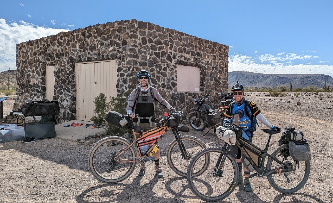
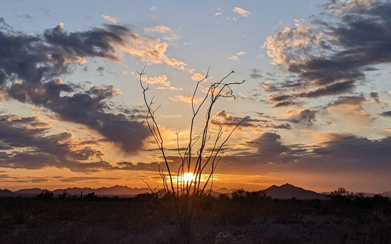
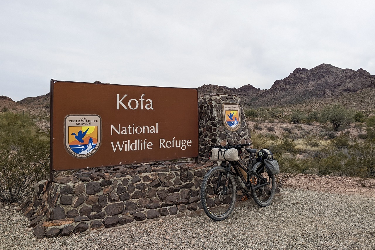
Headed over to AZ for Prez' day weekend to do some bikepacking with Schillingsworth around the Kofa National Wildlife Refuge. Kofa is just north of Yuma and the Yuma Proving Ground on the east side of Hwy 95. I've driven past it a few times and always thought it looked cool but would be more a place for boondockers than anything. Turns out there is a lot of dirt road mileage on the Refuge including a nice loop you can drive or MTB. And decent water resupply options. Schillingsworth mentioned a while back he was interested in checking the area out, and we were able to figure out a time. Kurt Refsnider put a loop together a couple years back including some side hikes to a few peaks. The plan for us was a modified version of that loop with hikes to Signal Peak and Palm Canyon, for 160 miles over 3 days.
Day 1 - Signal Peak and Palm Canyon would be up first. Both were side trips and we'd pass the vehicles again, so bags were left behind for now.
It was a chilly morning though, high of 55ish, so jackets stayed on
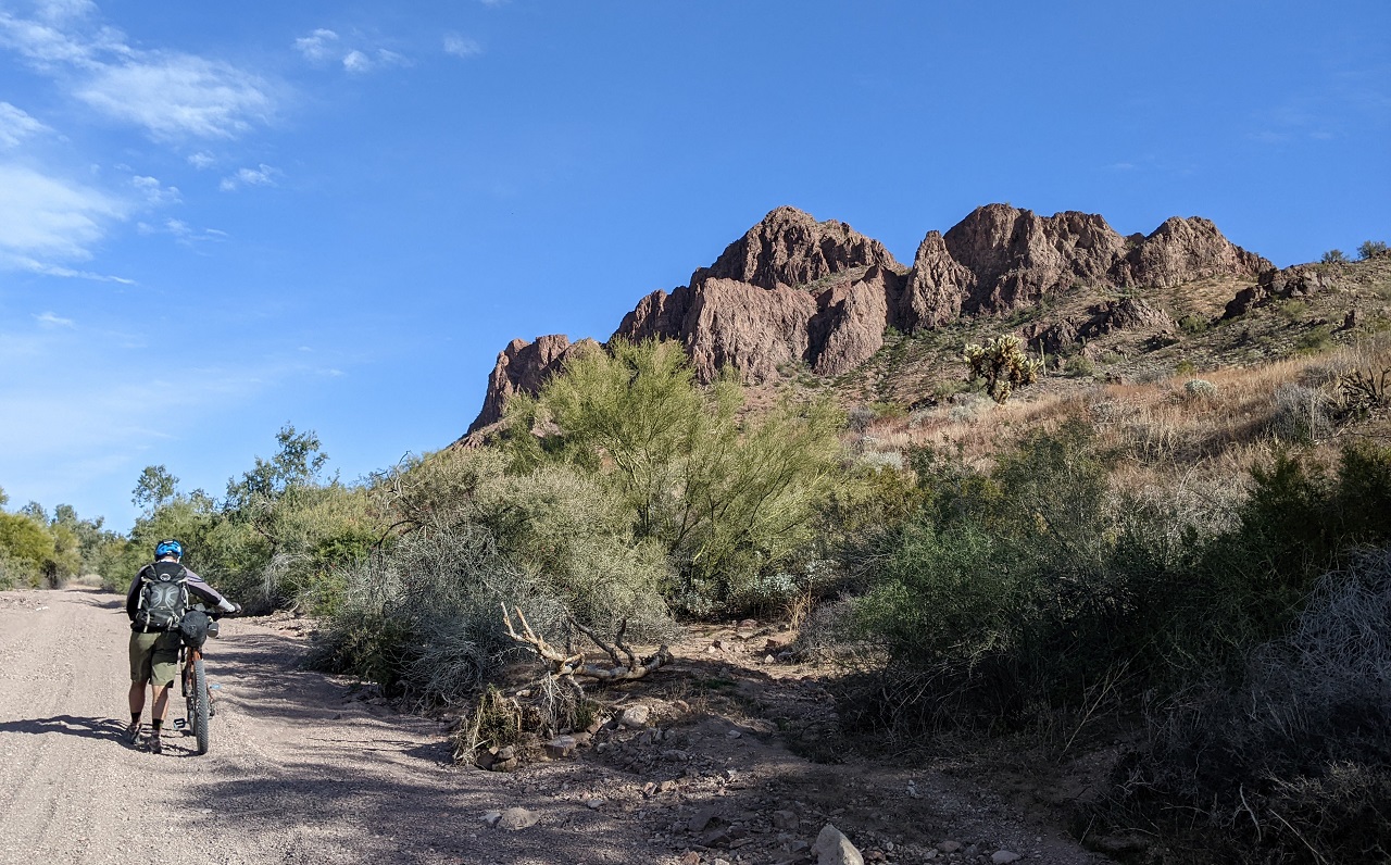
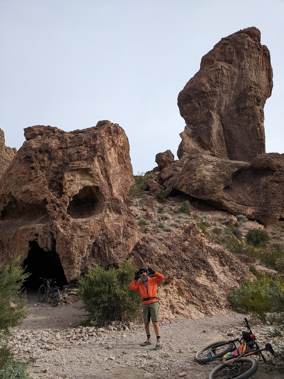
Quick stop to check out Skull Rock
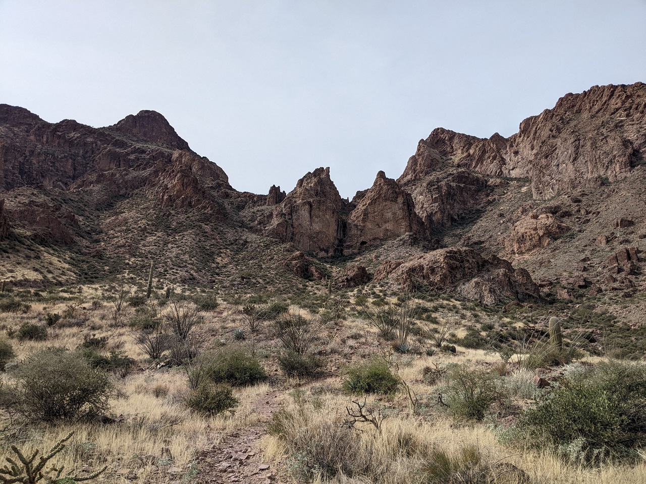
We mistakenly rode past the Signal Peak Trail. No signs, and no reason to think it wouldn't start at the end of the dirt road, so that's where we went. And then couldn't find the trail. Doh...it's 1.5 miles back down the valley.
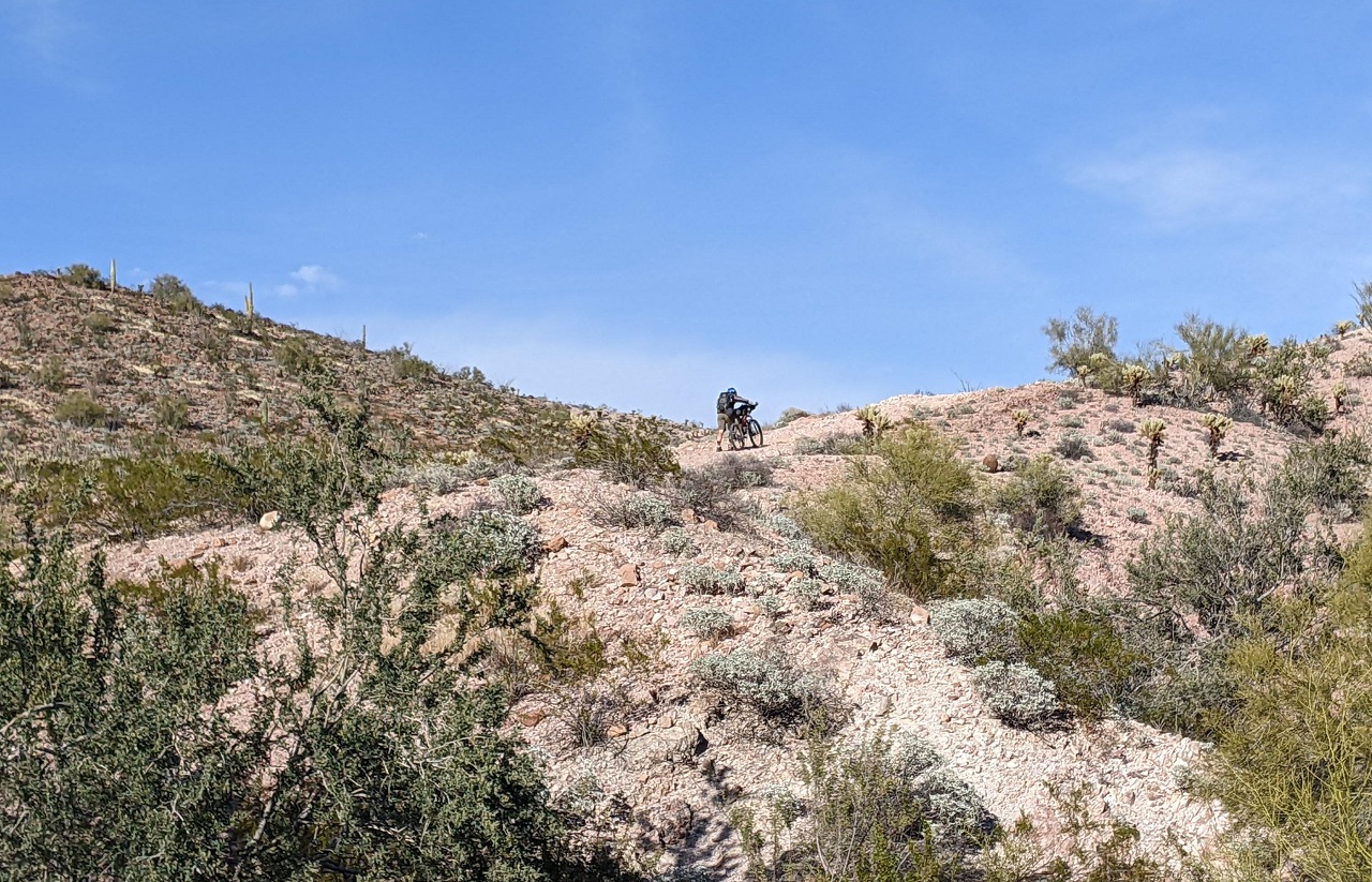
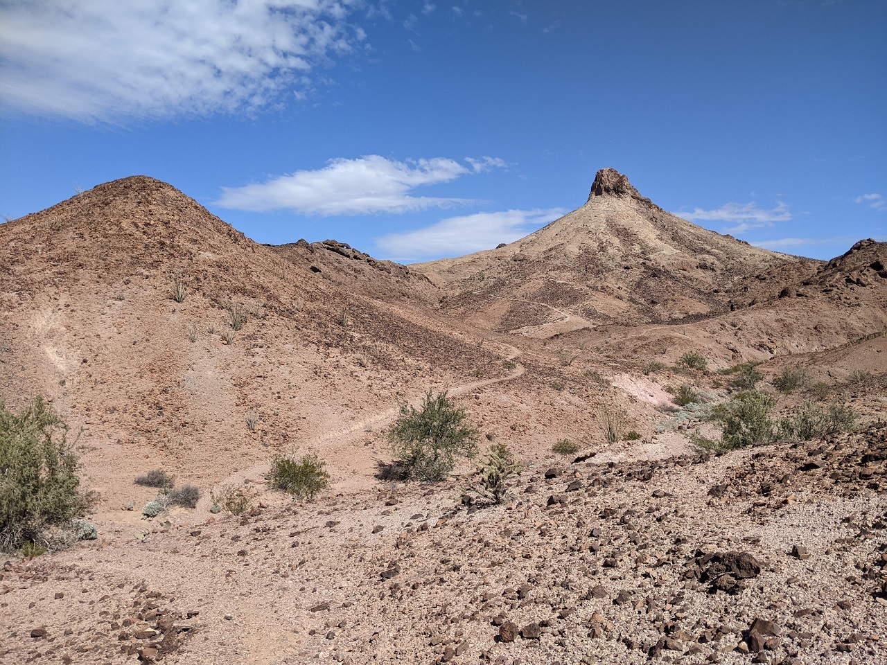
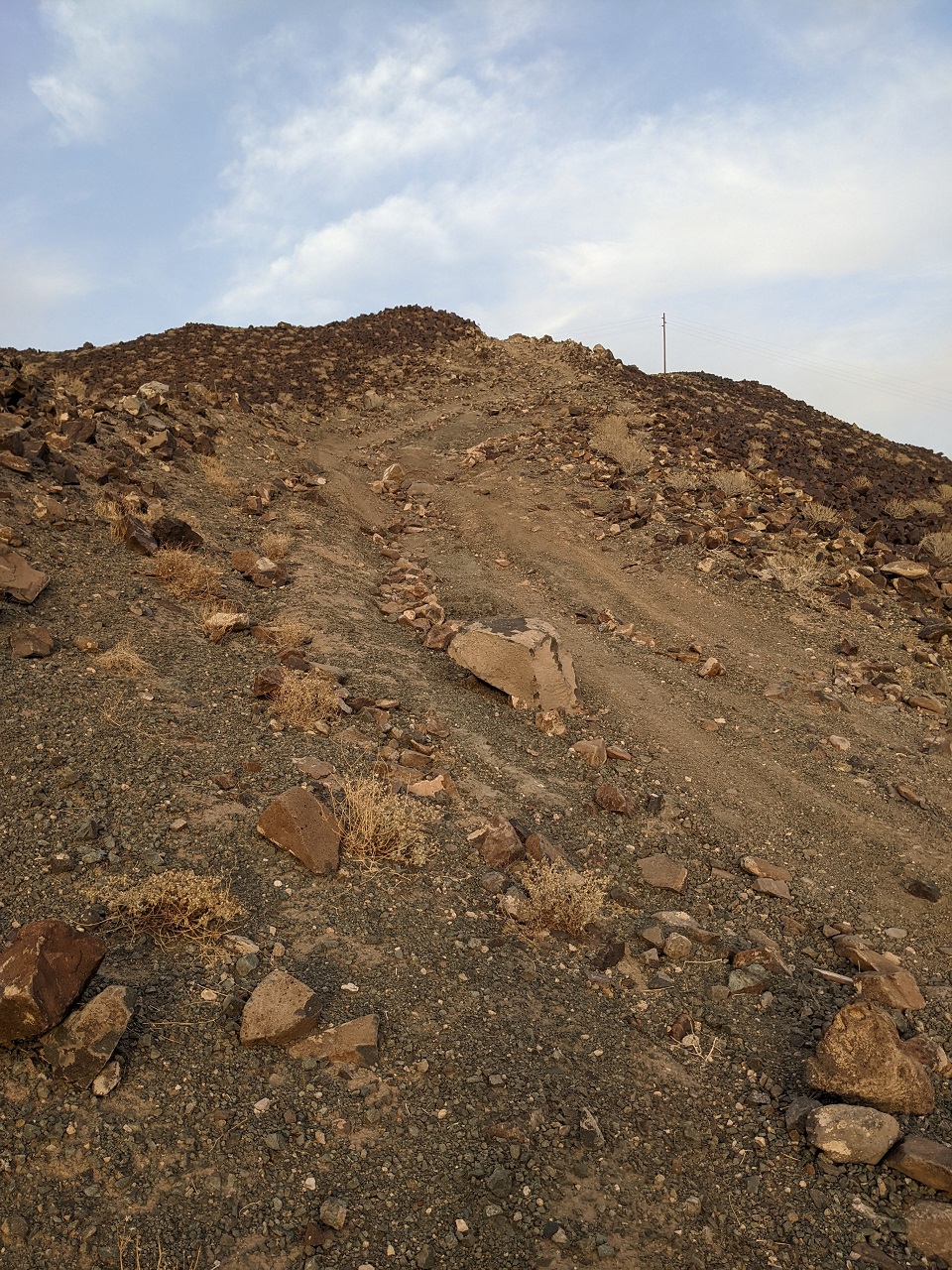
Trail goes somewhere...up there
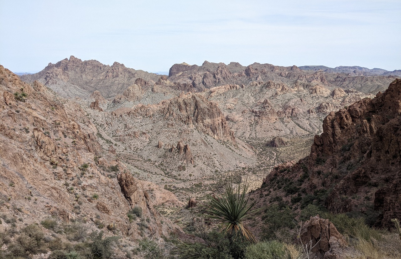
It wasted no time gaining elevation and we soon had a great view of the valley we'd pedaled up
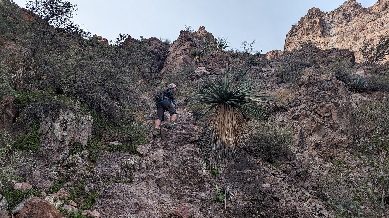
steep!
* Pic by Schillingsworth
Just a bit rugged
Quick reprieve from the climbing brings a smile
And then back to it
Some waterfalls on back of the canyon appeared to be dry. This one wasn't wet either...it was frozen. I tried to do some curling with rocks, but they didn't slide far
* Pic by Schillingsworth
Wasn't expecting ice!
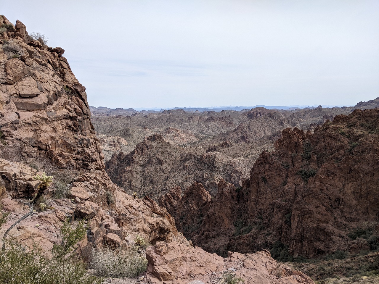
Continuing on views got better and better
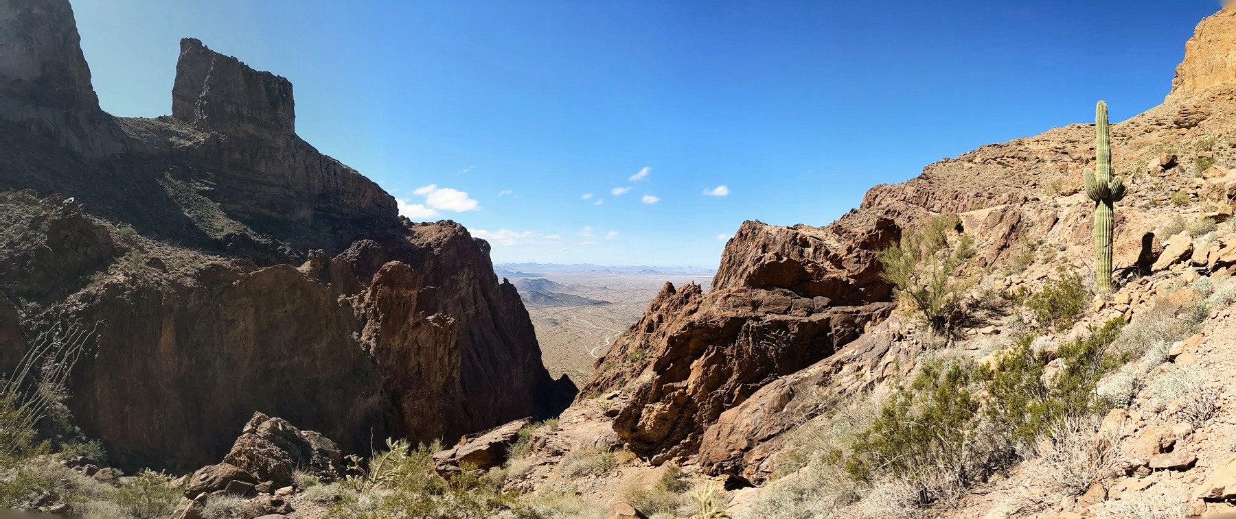
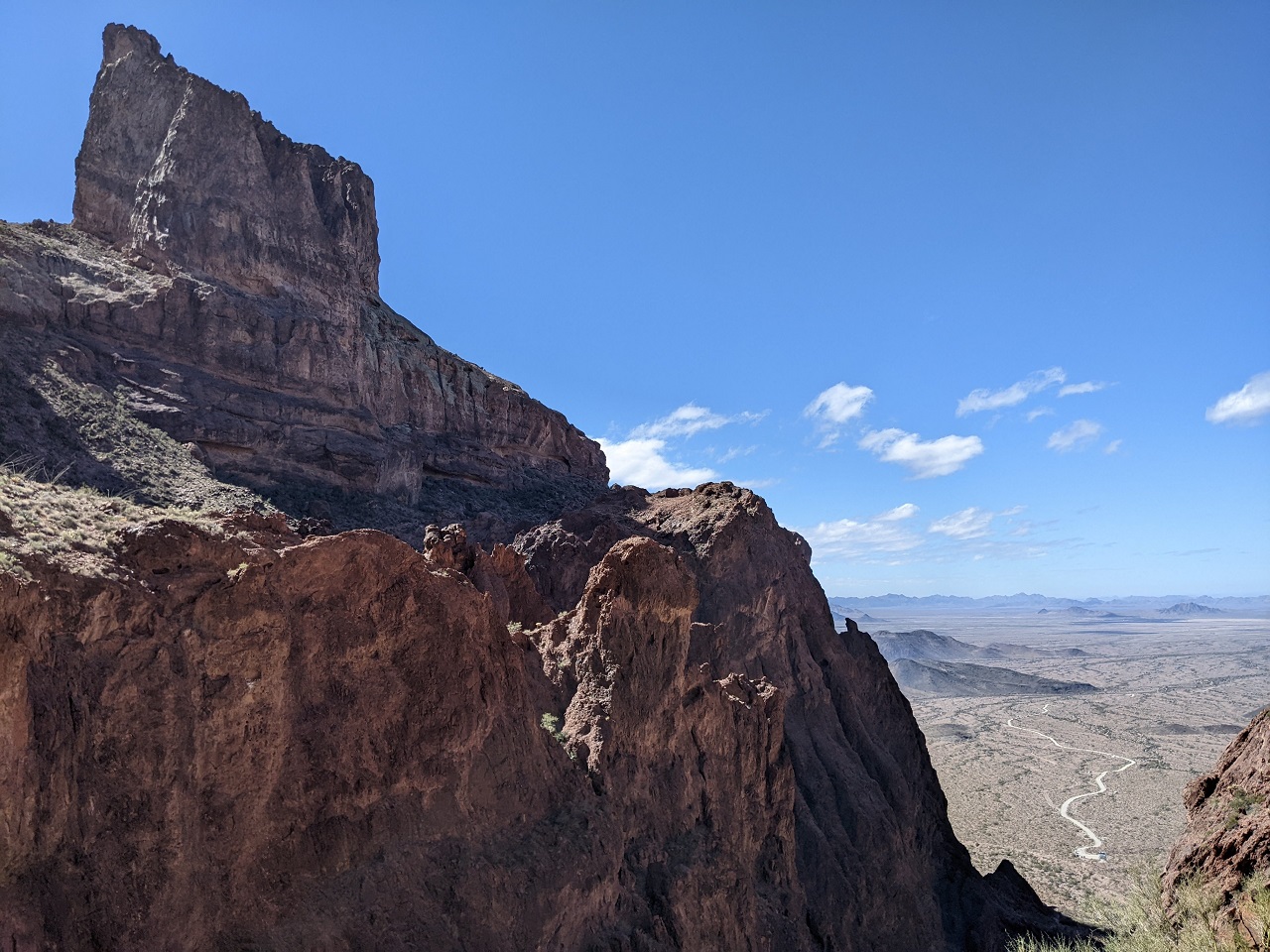
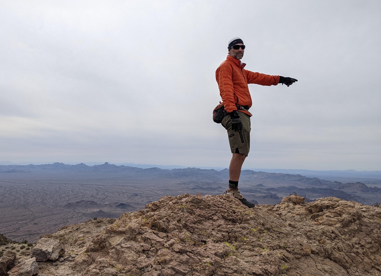
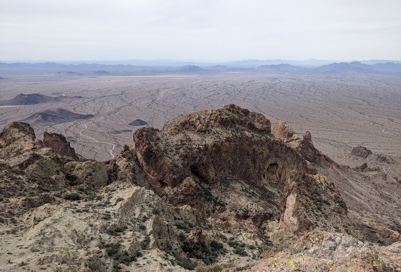
After a saddle and a couple false summits we were at the top. The view is over there! Summit of Signal Peak is just under 5k. We'd started at around 1,500ft.
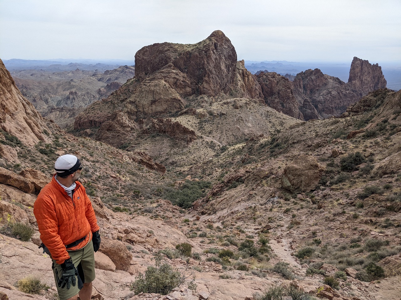
Looking West. Schillingsworth was pointing out the road we pedaled in on. The visible one on the left goes to Palm Canyon. The one we took is barely visible, running diagonal on the right
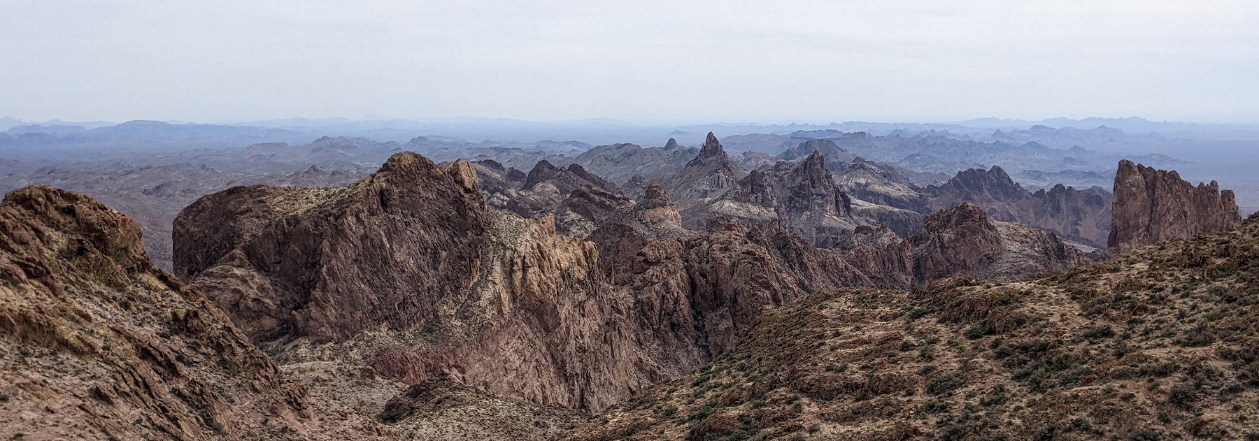
The mountains to the SE were super cool looking
Looking north
That side adventure took longer than expected, time to get back down and load up. Palm Canyon would wait until Sunday.
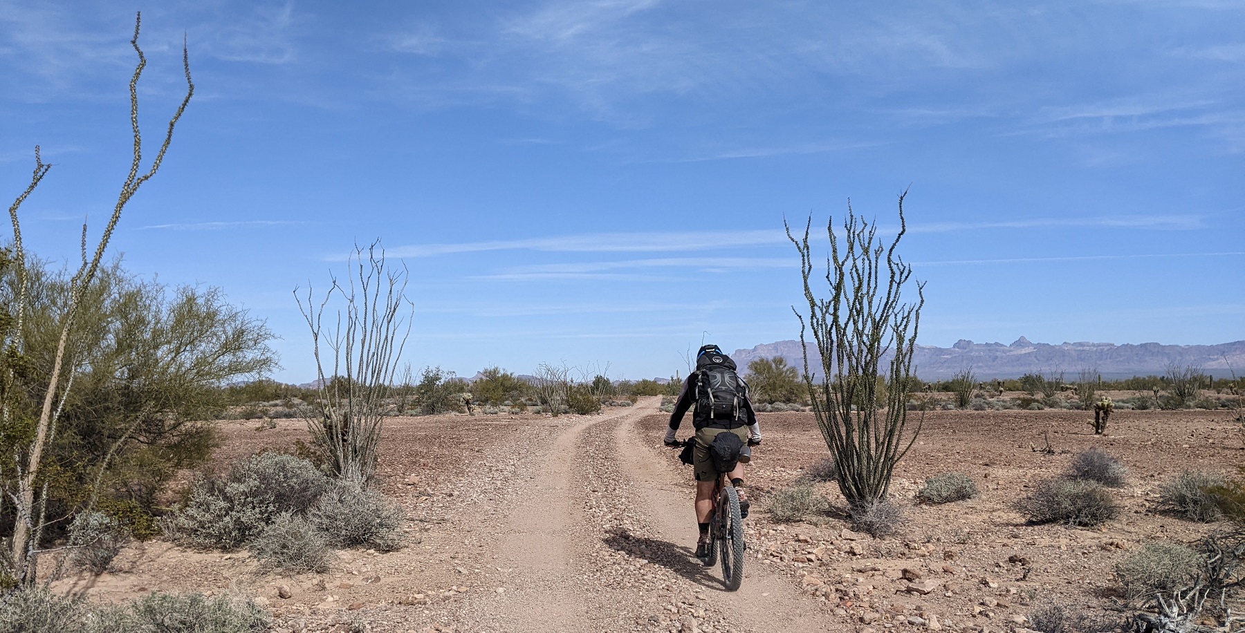
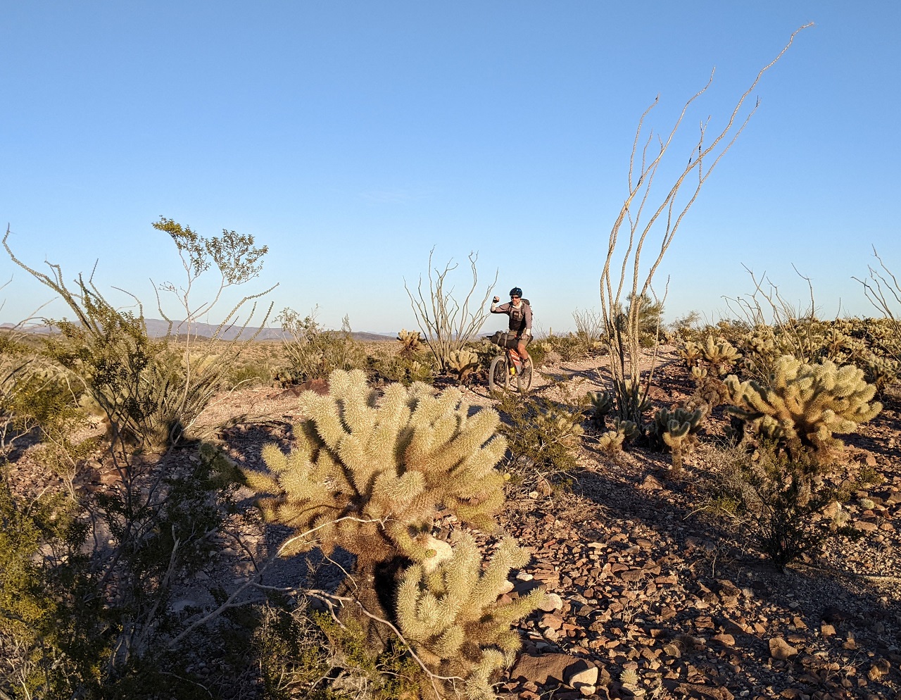
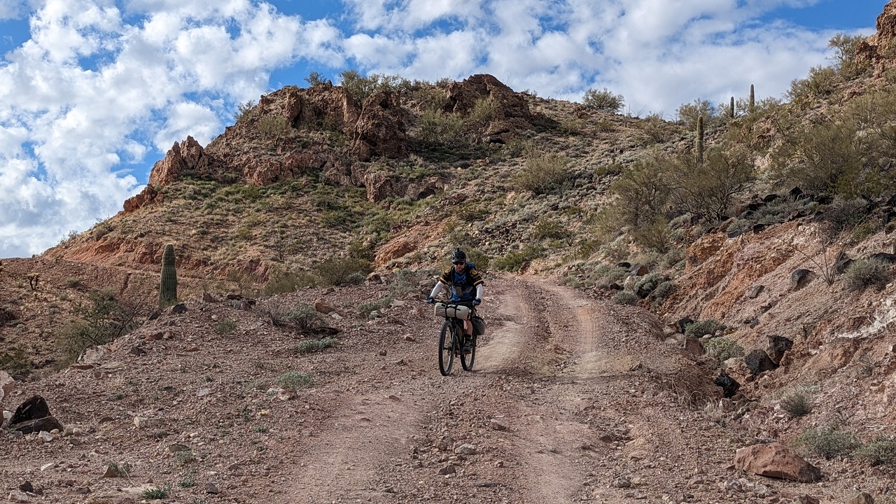
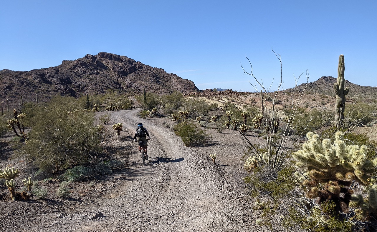
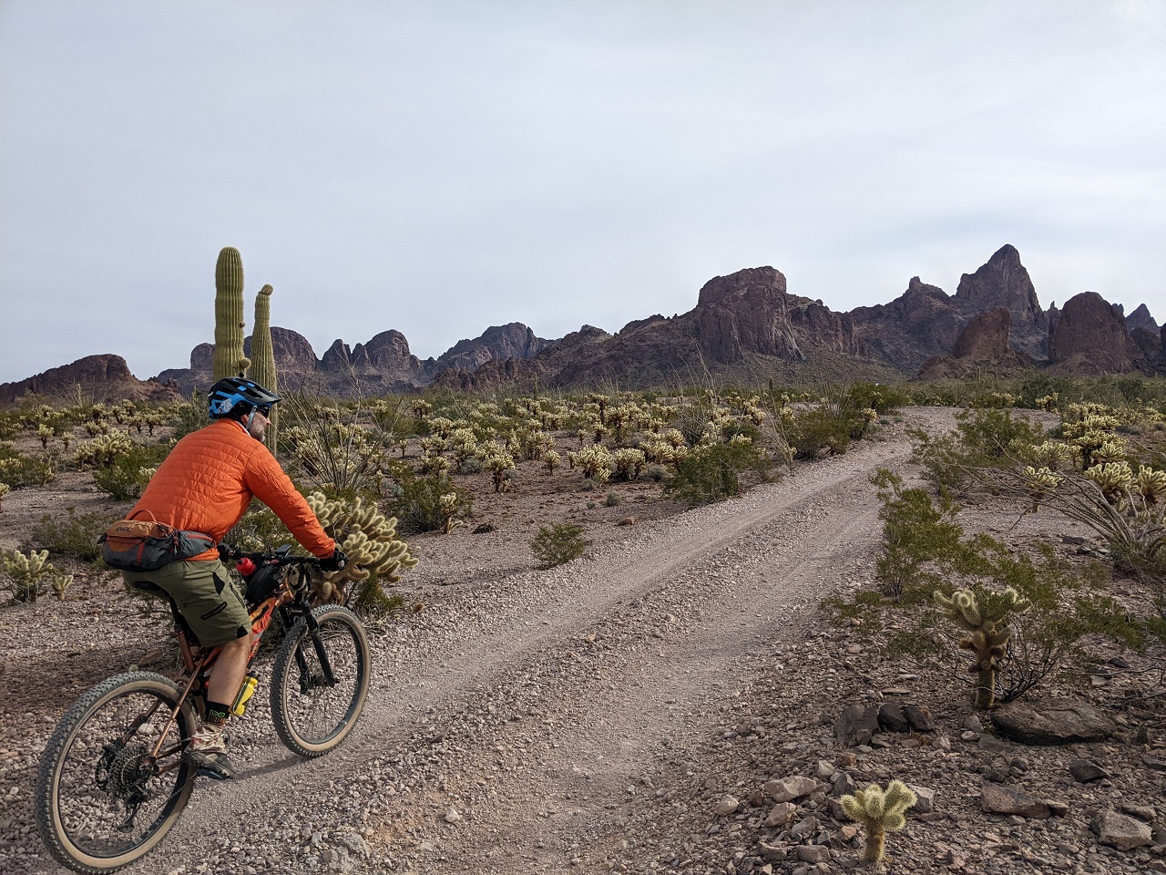
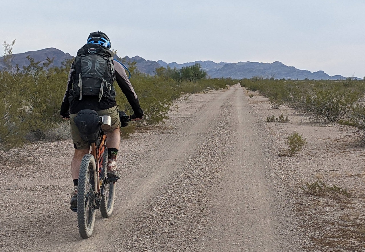
Some lunch and a beer while we loaded up, then we were off. The miles went fast which was good because there were only a couple hours of daylight left. This was the nicest, fastest, gas line road I've been on.
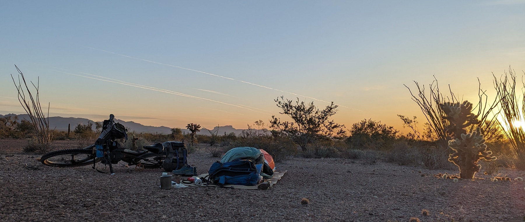
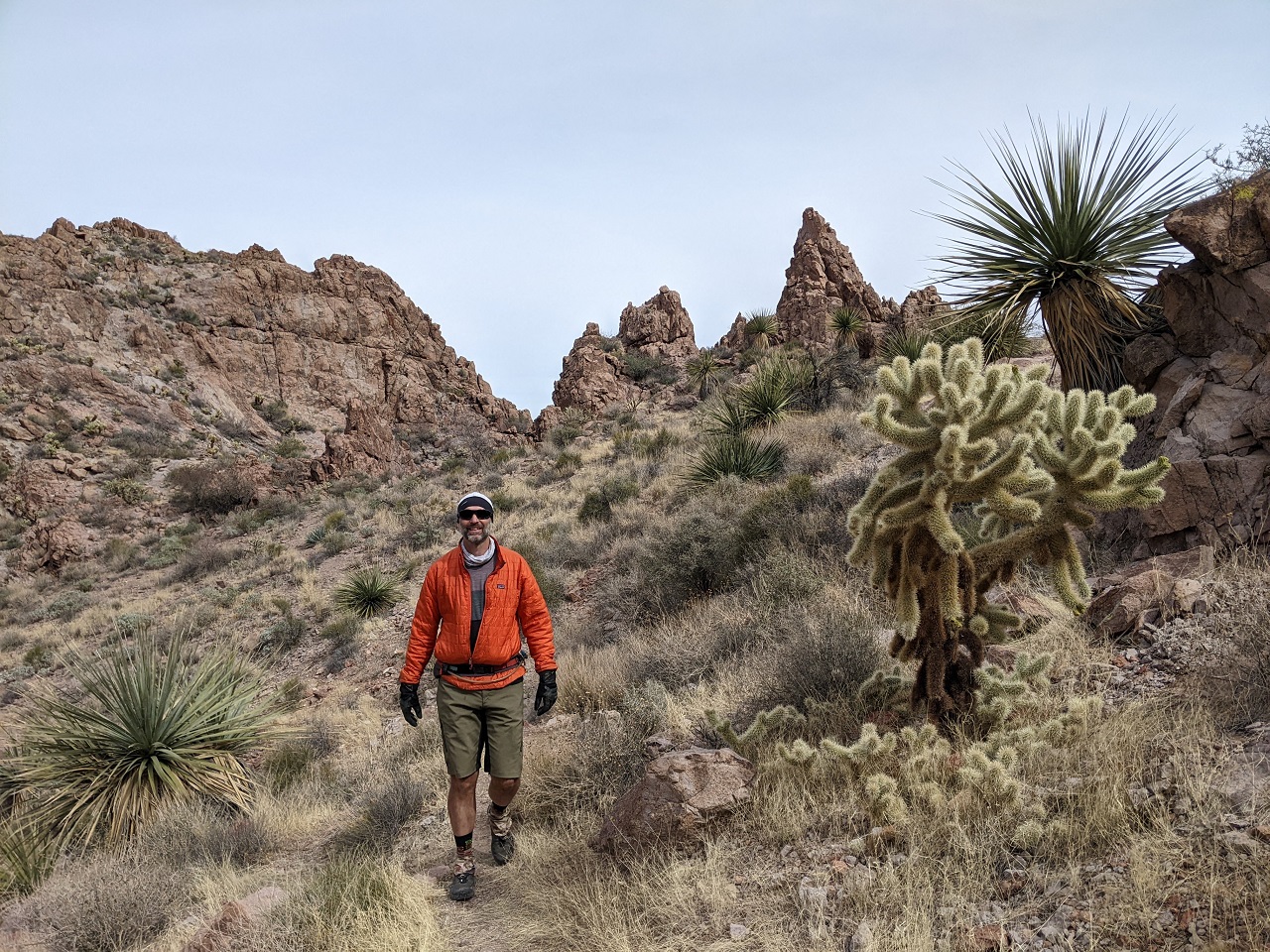
It wasn't until we climbed over a pass and got away from the boondocking masses that it felt like the trip was really starting. We turned onto a narrower doubletrack around sunset and opted to go a mile further to minimize road traffic and hit 40mi on the day.
* Pic by Schillingsworth
Enjoyed the sunset, had a beer, cooked dinner...and out before 8pm.
Stats day 1: 41.5mi, +/- ~3,700ft
Results 1 to 15 of 15
Thread: TR - Bikepacking Kofa
-
02-24-2023, 02:00 AM #1

 Registered User
- Join Date
- May 2012
- Location
- People's Republic of OB
- Posts
- 5,153
TR - Bikepacking Kofa
Last edited by evdog; 06-25-2024 at 02:48 PM.
-
02-24-2023, 05:37 AM #2
Registered User
- Join Date
- Mar 2005
- Location
- Livingston, MT
- Posts
- 1,895
Great stuff as usual!! Really cool landscape!
Sent from my iPhone using TGR Forums
-
02-24-2023, 10:57 AM #3
 time out of mind
- Join Date
- Oct 2011
- Location
- Aspen
- Posts
- 3,372
Dig it!
-
02-24-2023, 12:15 PM #4
Registered User
- Join Date
- May 2012
- Location
- People's Republic of OB
- Posts
- 5,153
Day 2
I'm usually a night owl so going to bed before 8 (7pm evdog time) meant I was waking up a lot by about midnight. An air pad that slowly deflated down to about 1/3 didn't help things. I blew it up some time in the middle of the night and then again before sunrise. We'd found the least rocky ground to set up on but it was still pebbly, and I could feel the rocks through the pad whenever I shifted. Was chilly until the sun rose up a little, so there wasn't a big rush to get going.
* Pic by Schillingsworth
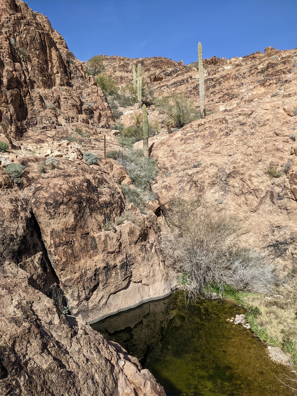
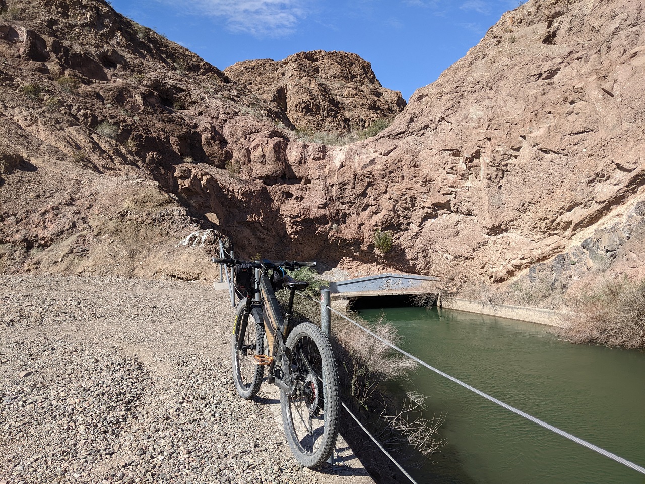
We had about 8 miles to the water source
Little White Tanks were pretty cool, with numerous levels of pools. Some were pretty deep. On a hot day I'd be tempted to swim : )
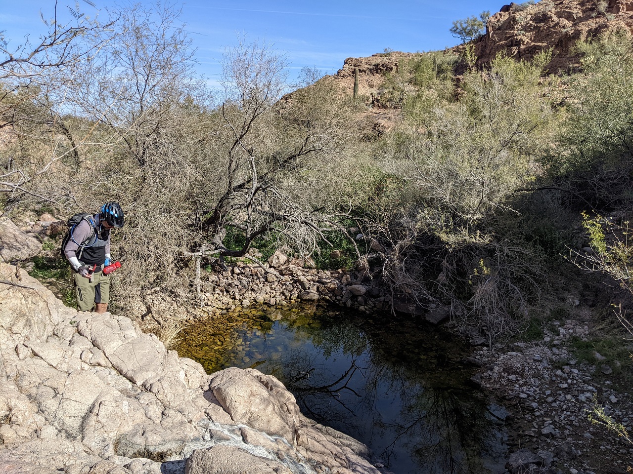
Water was pretty clear and had no taste, filtered. We cameled up, drinking a couple bottles each before filling our entire supply. The next water source was 47 miles away.
Heading a couple miles back to the main route. We'd only seen one camper this morning and she would pass us here doing her own ride
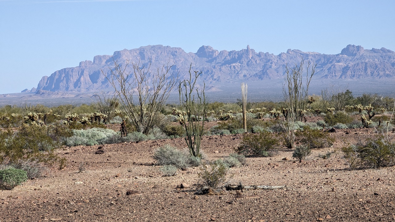
Signal Peak is up there on the left. We'd not only been up there day before but gotten to it from the far side. Looked a long ways away now.
* Pic by Schillingsworth
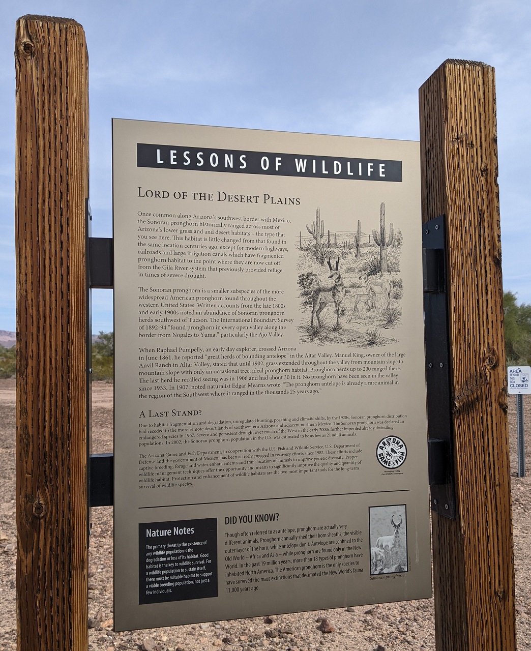
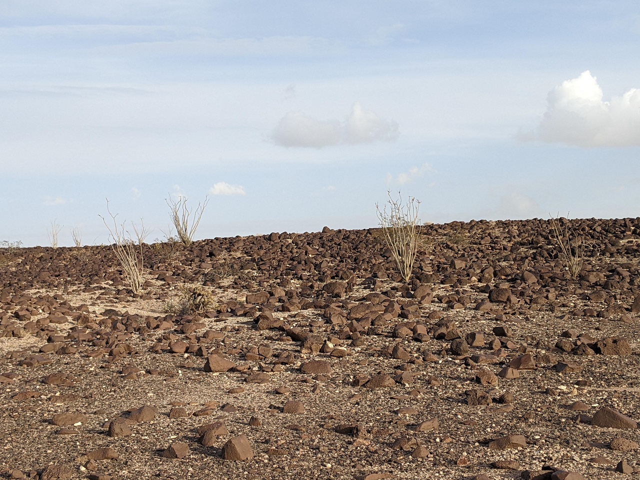
After some boring flat road miles we passed an area closed to all entry for Sonoran Pronghorns. Their population was estimated to be 21 in 2002, and around 200 now. Apparently there is a pronghorn breeding facility here
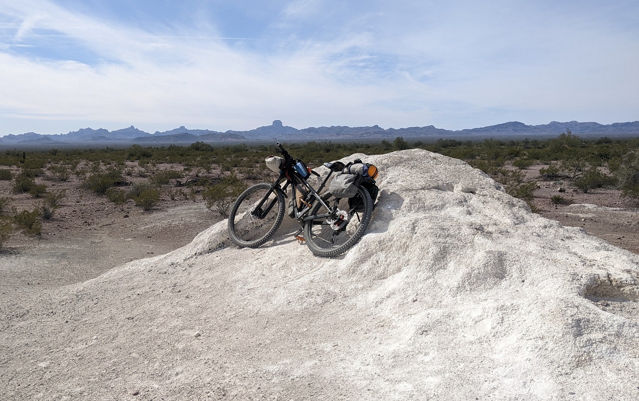
In the distance we had spotted some white structures on the landscape which we presumed were buildings on some private property within the refuge. The first turned out to be this mineral deposit. No signage, might have been calcium carbonate for the pronghorns? It wasn't salt.
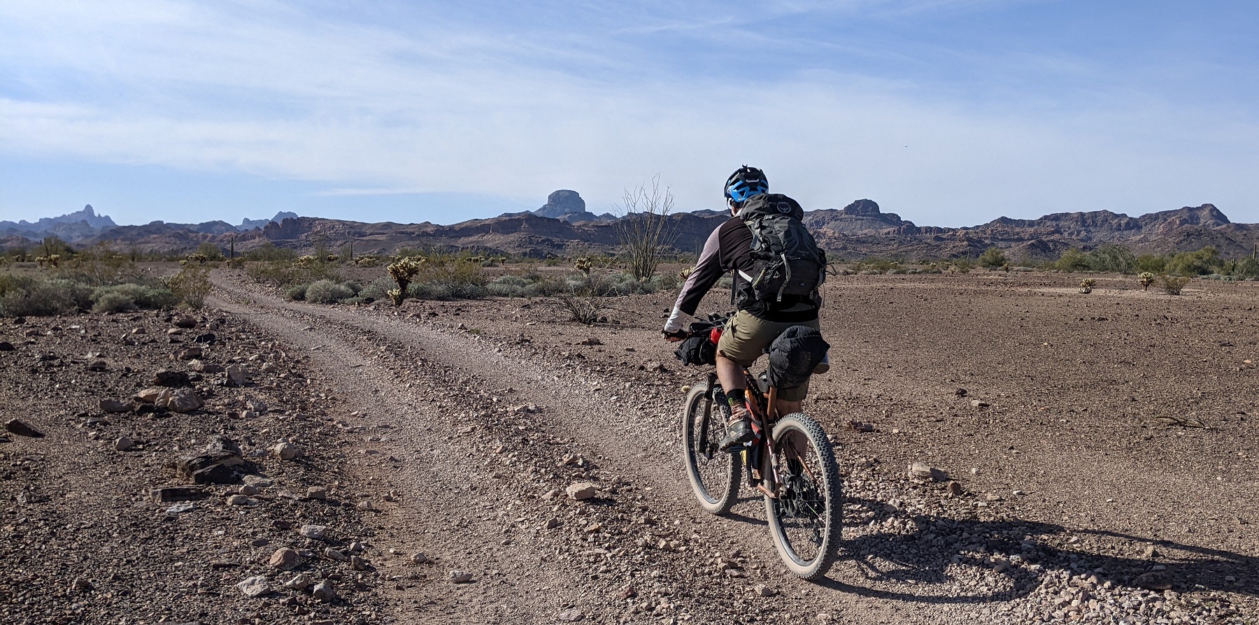
Continuing on there was a stretch labelled soft road for 2-3 miles, but it wasn't bad. Had about 600ft of climbing to do over 8 miles which was barely noticeable
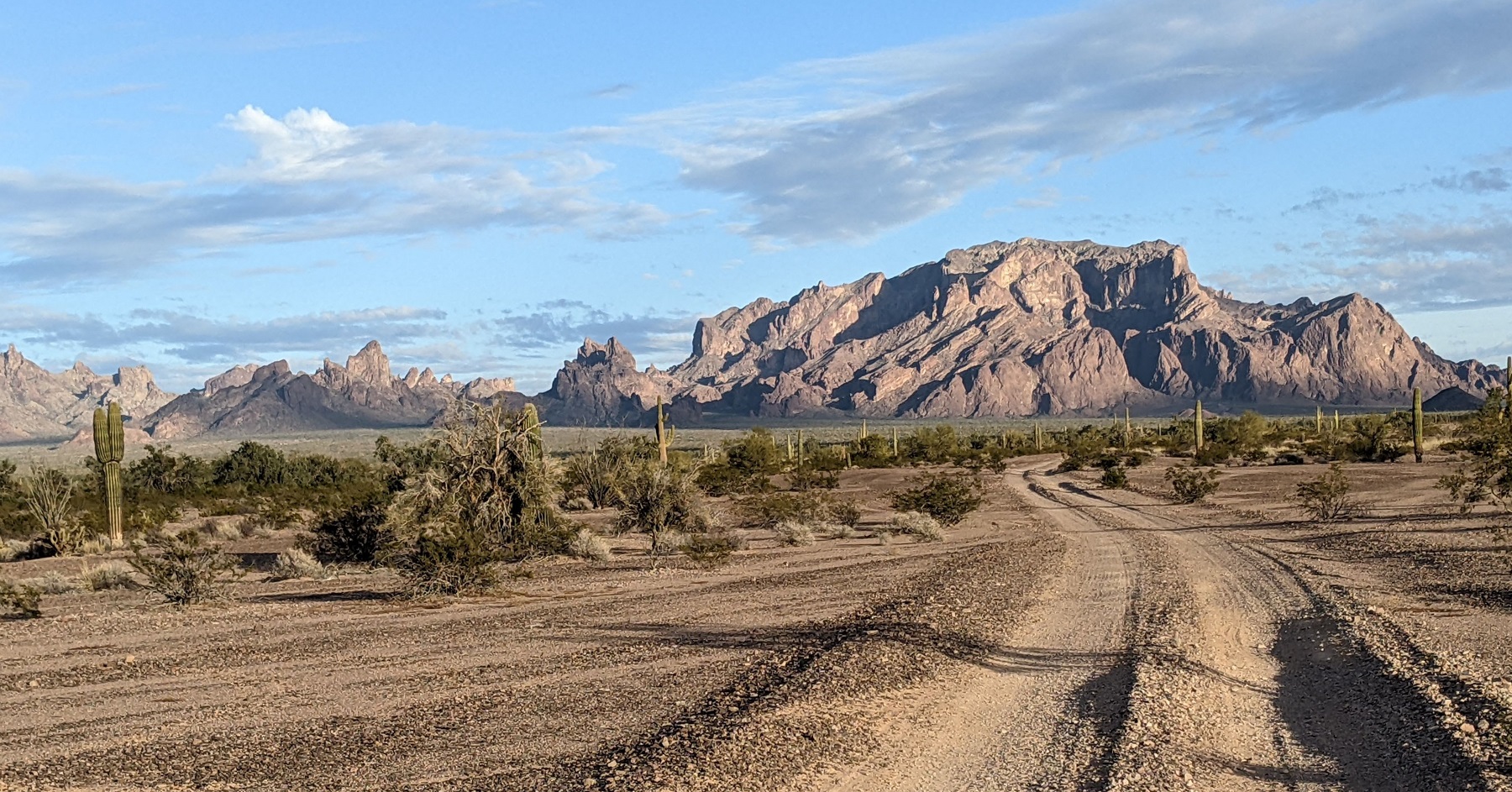
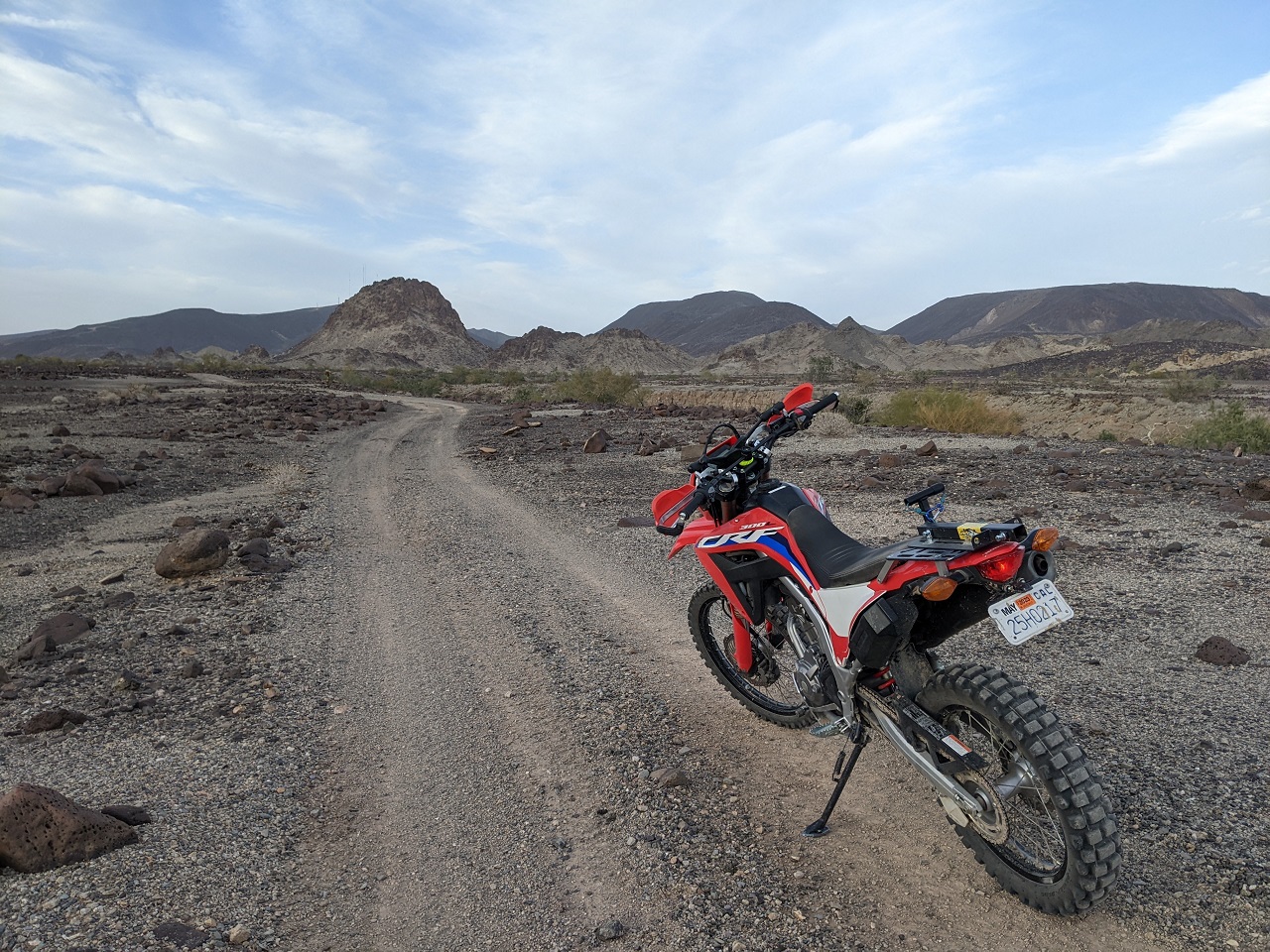
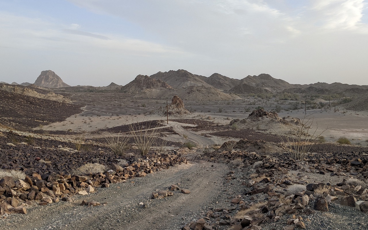
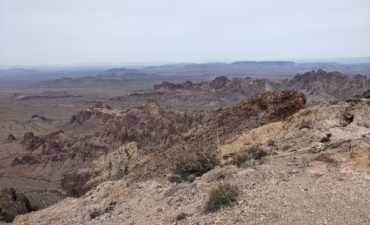
That's the King of Arizona Mine in the distance, namesake for the whole KofA refuge.
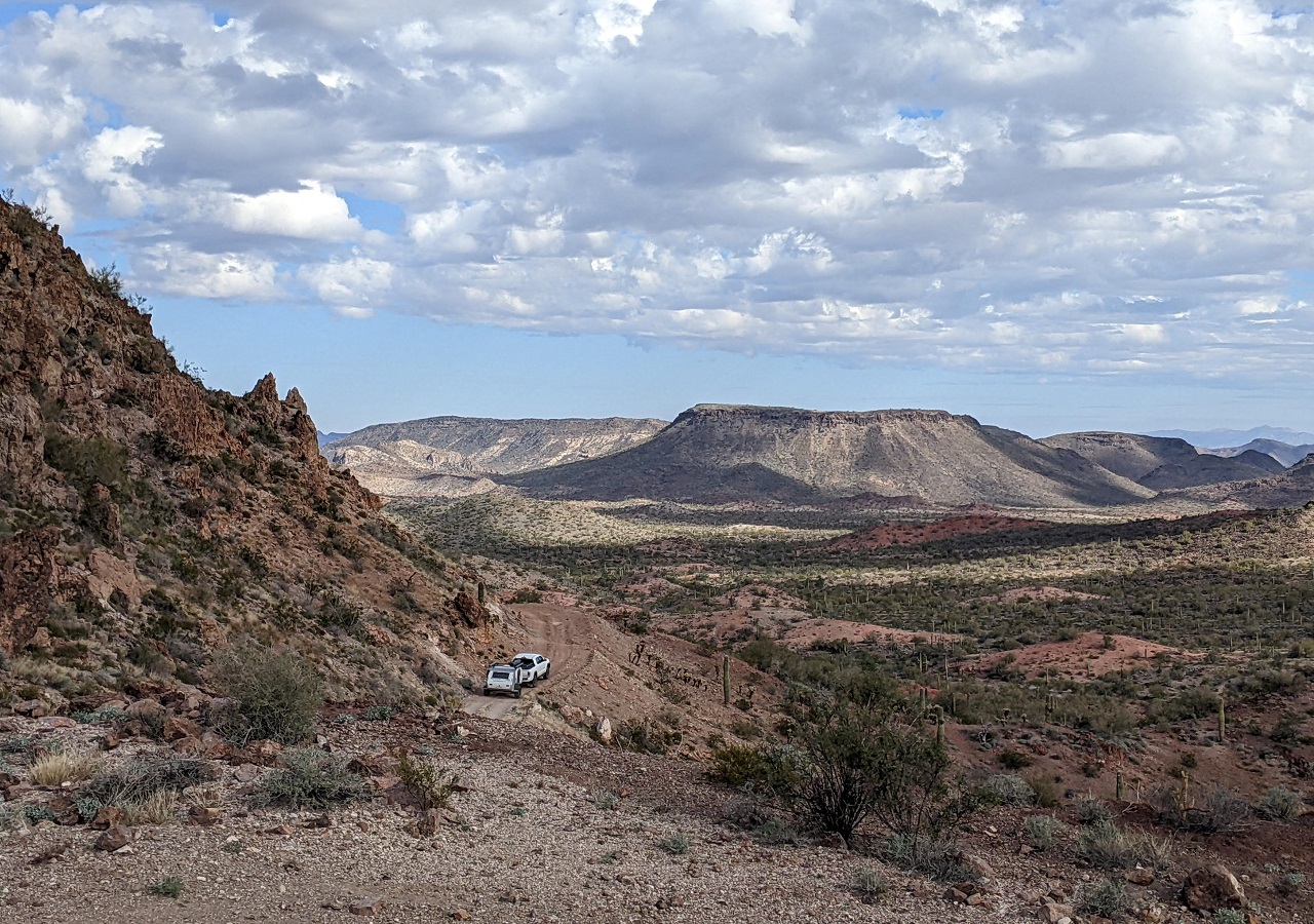
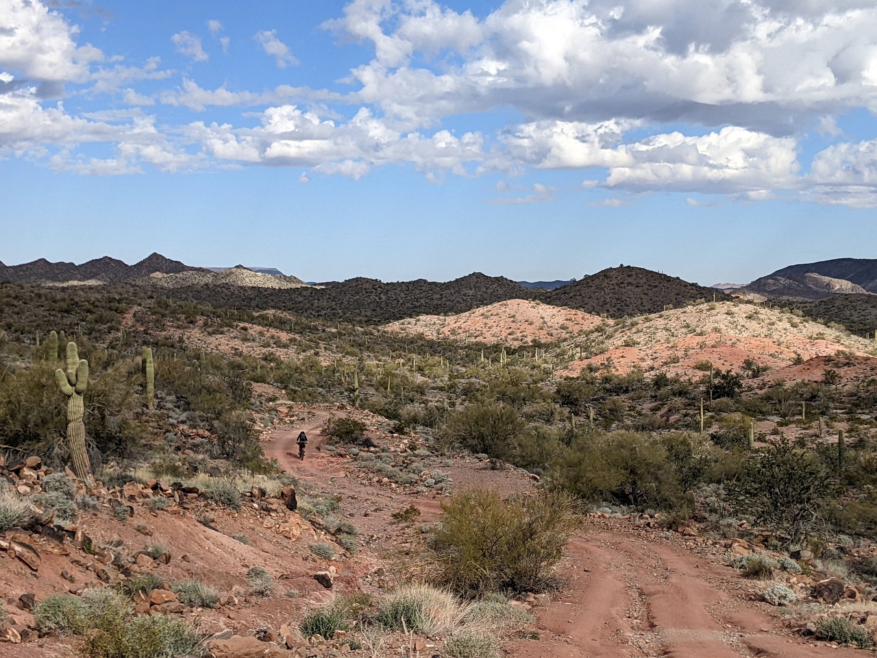
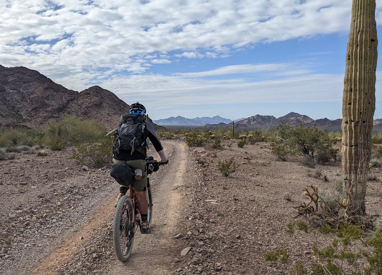
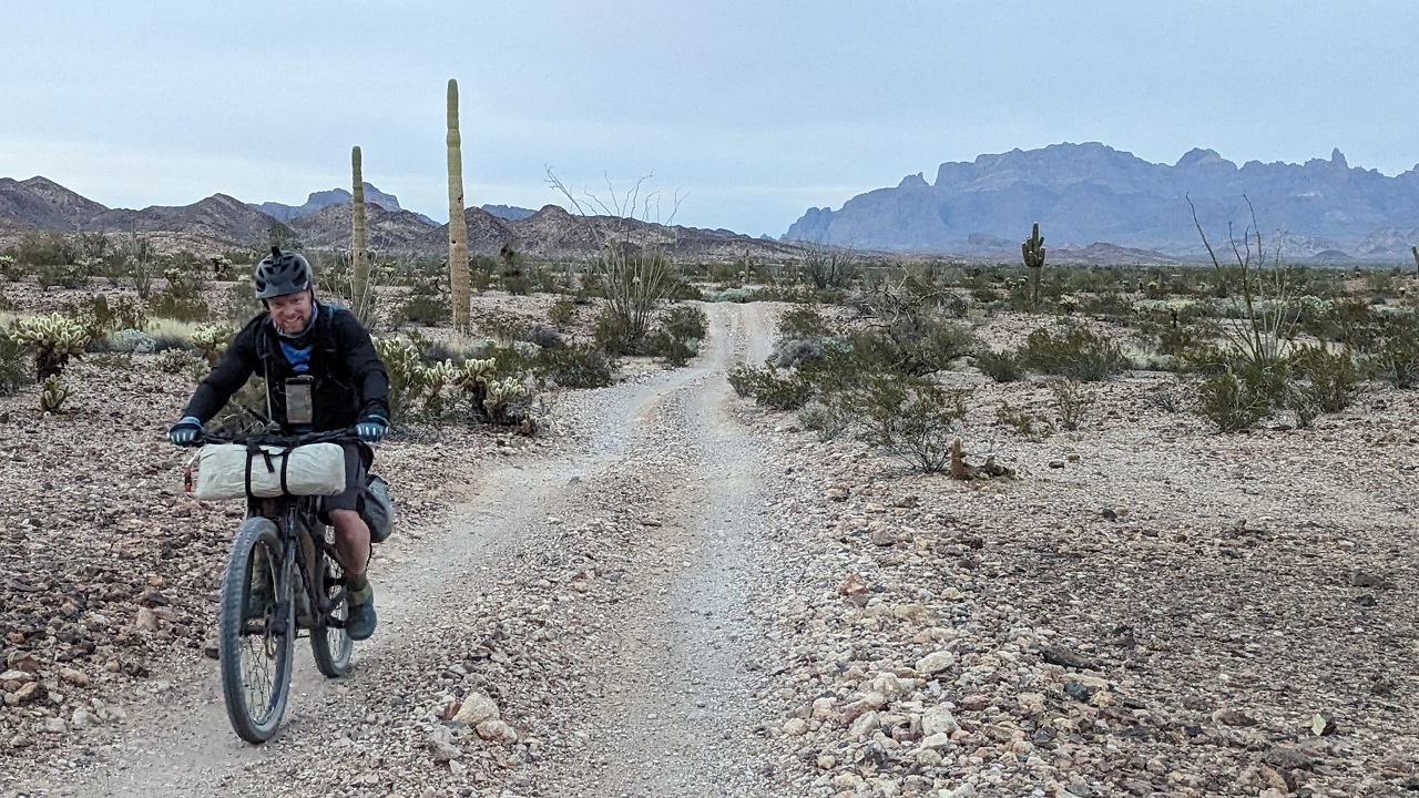
Beyond the mine we were back on more primitive road that would wind around a bit rather than cutting straight through the landscape
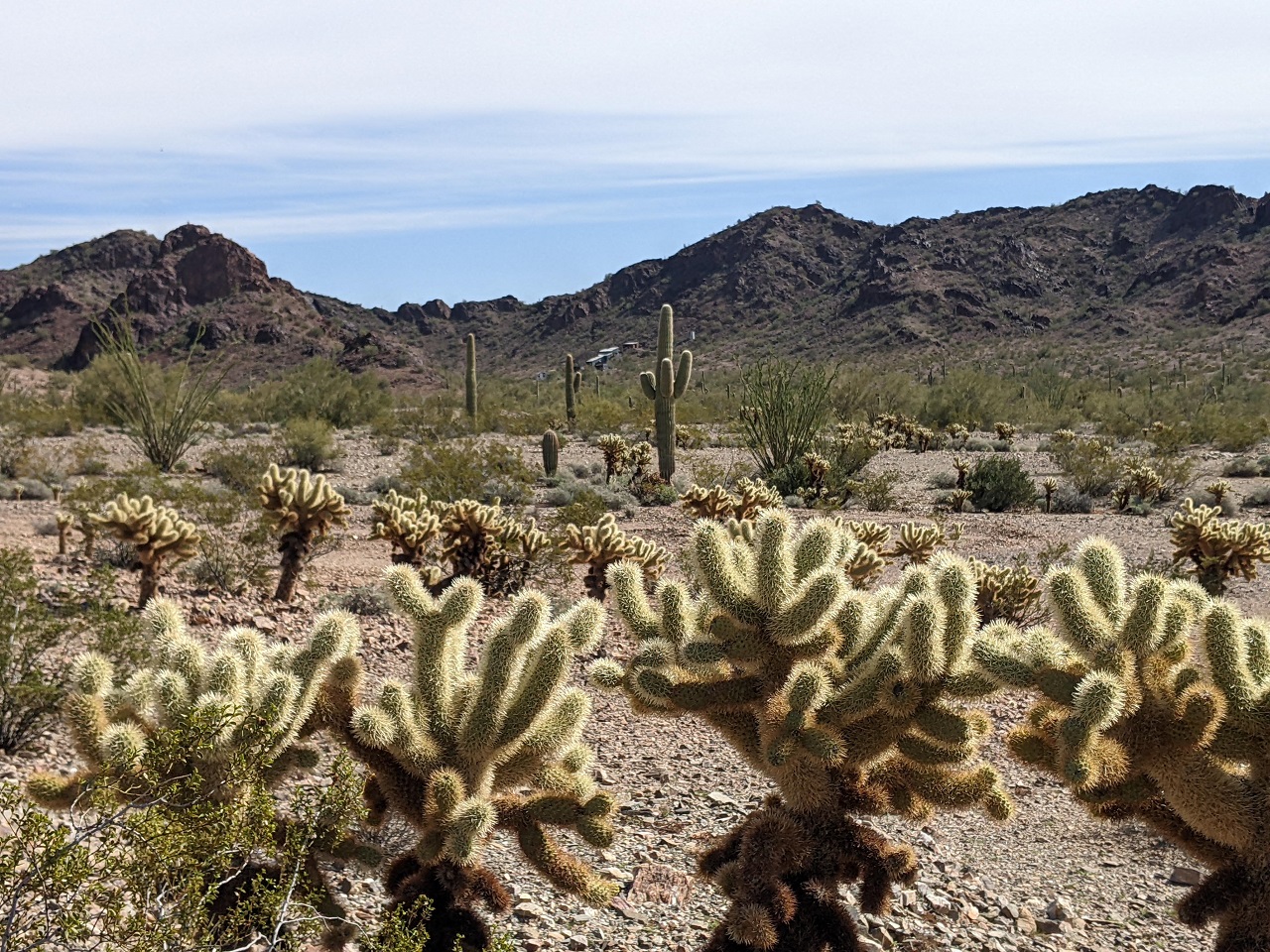
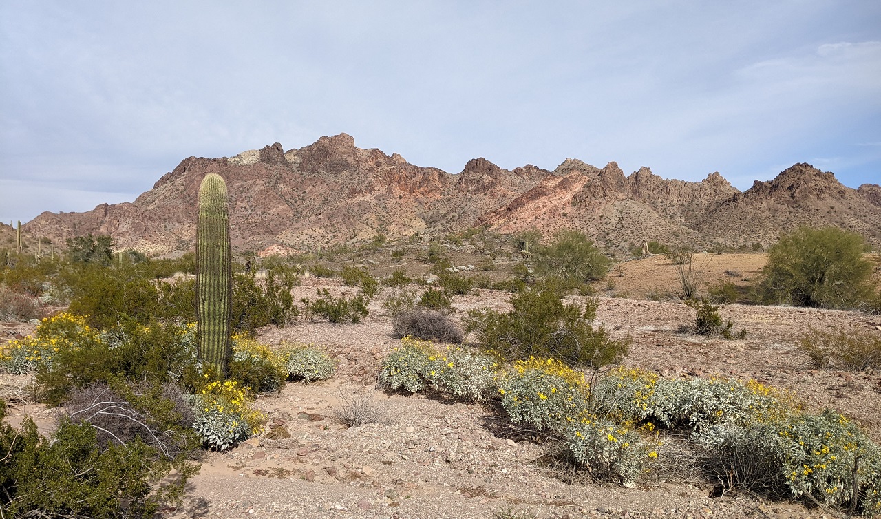
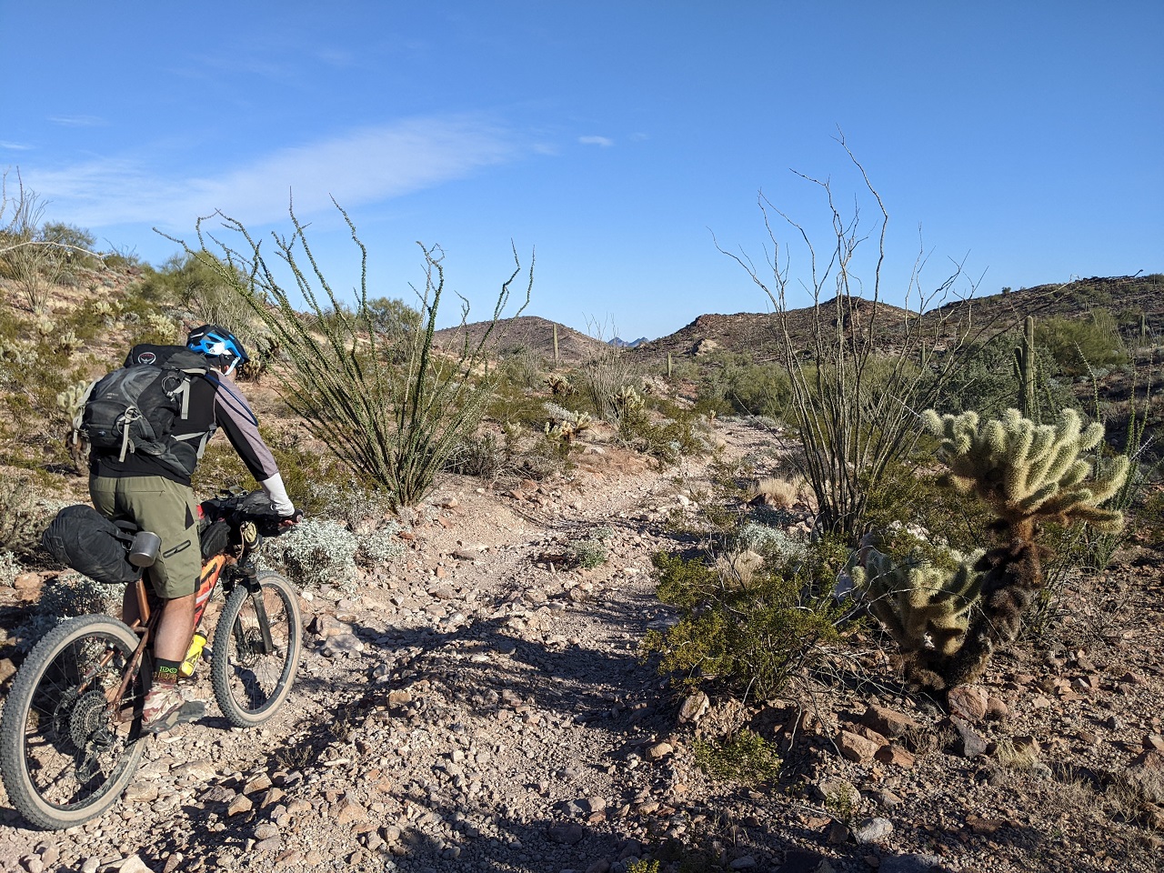
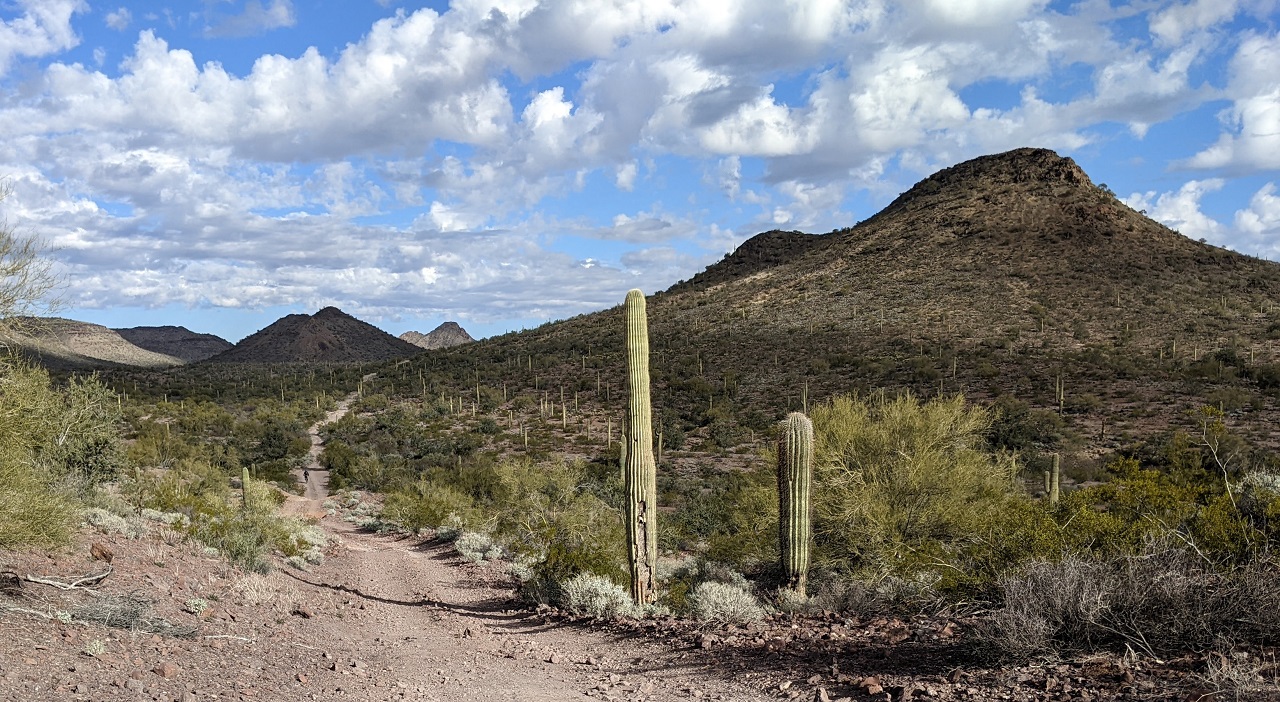
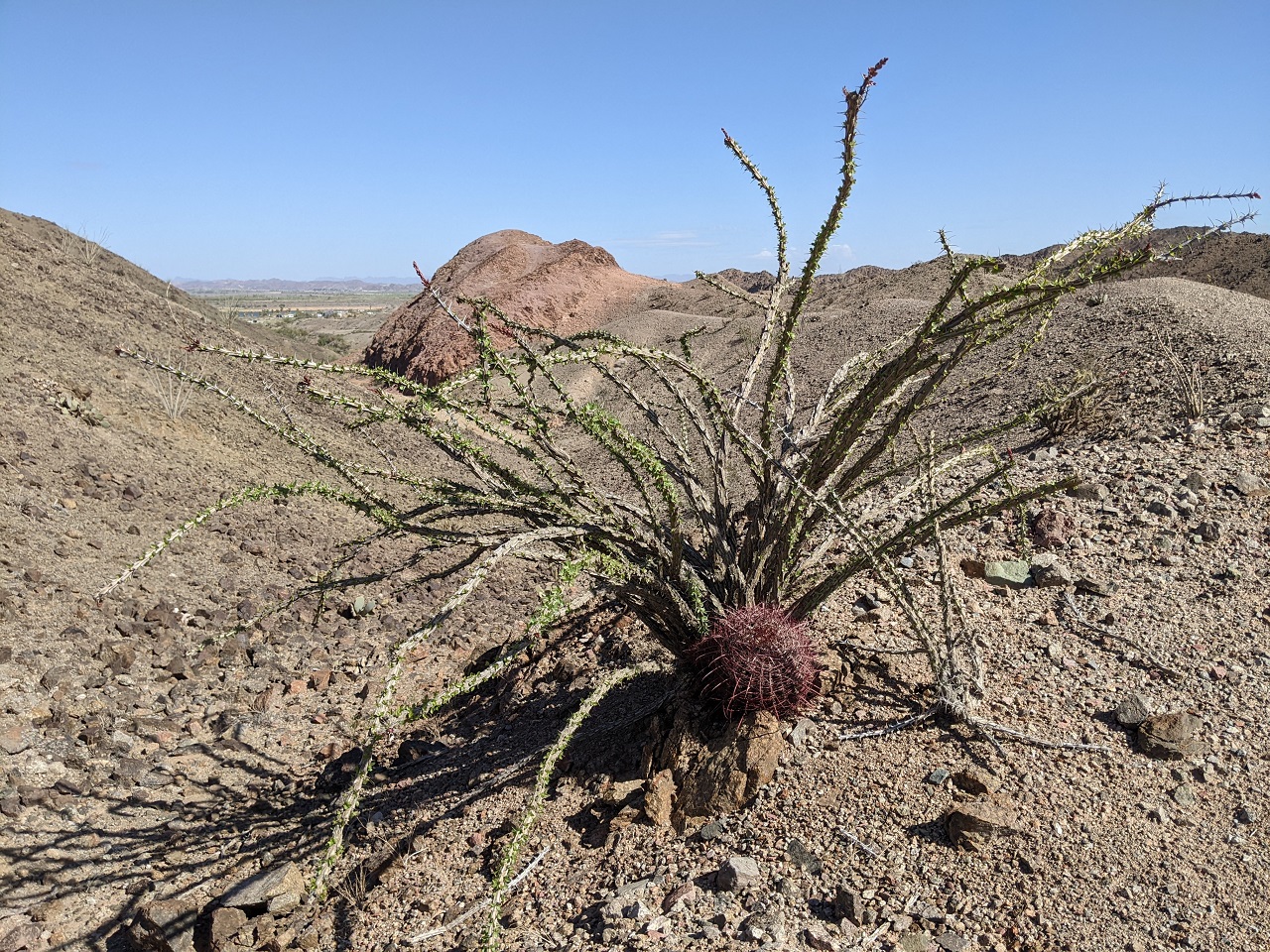
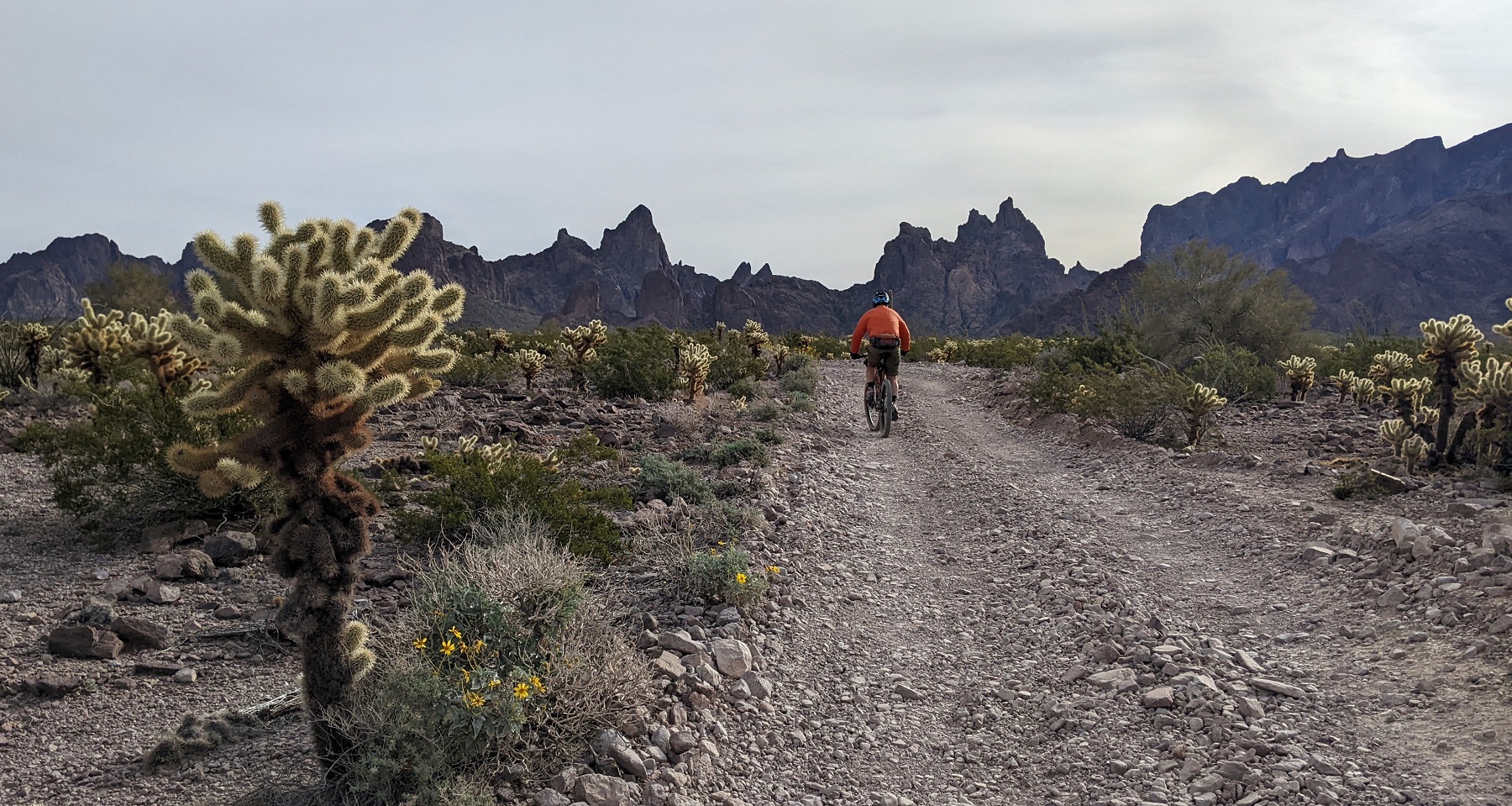
The mountains weren't right above us but with the cactus and some flowers it was pretty scenic
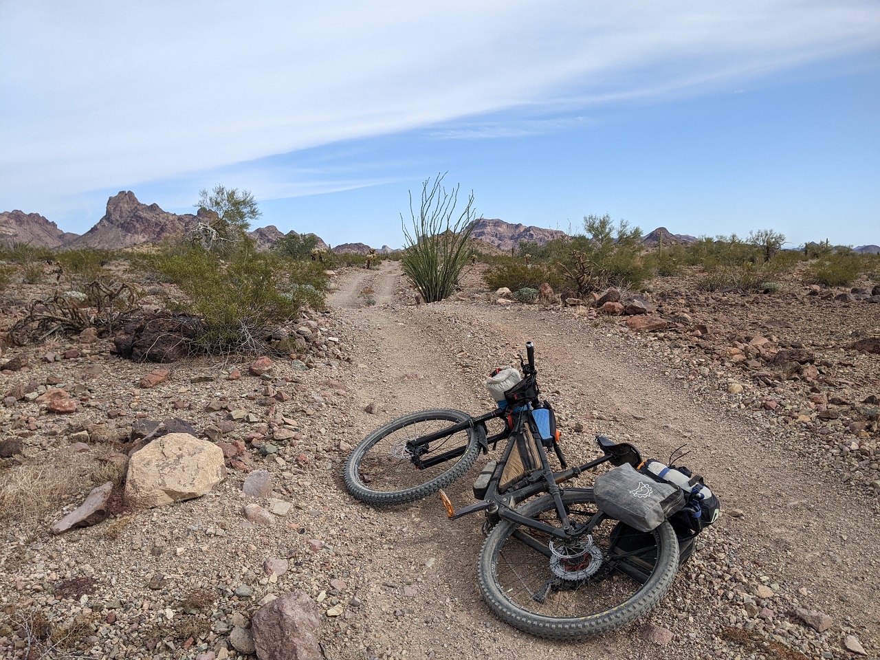
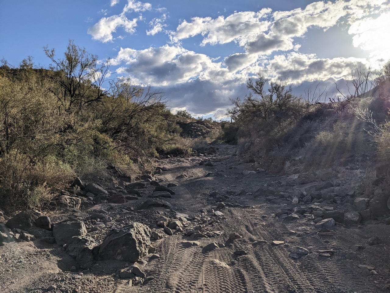
We pushed a mile or so up this gravelly wash. Just wasn't worth the effort to pedal. Every good ride has some hike a bike. It just isn't usually done going up a 1% slope.
Ah, that's more like it! There was a steep climb out at the end of the wash to Engesser Pass
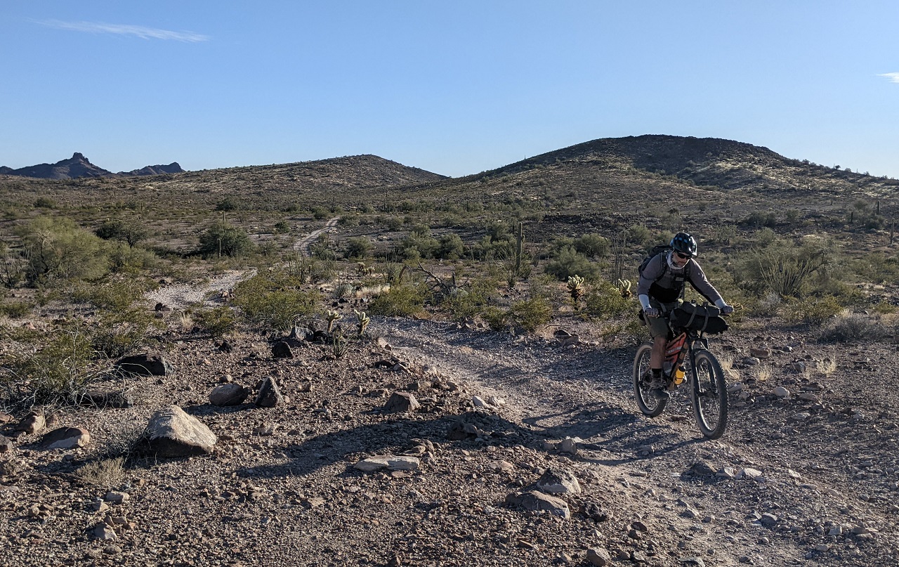
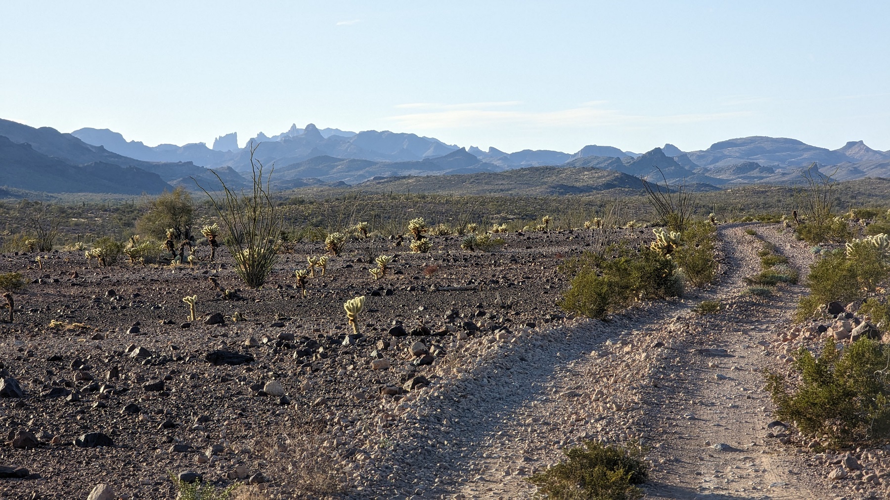
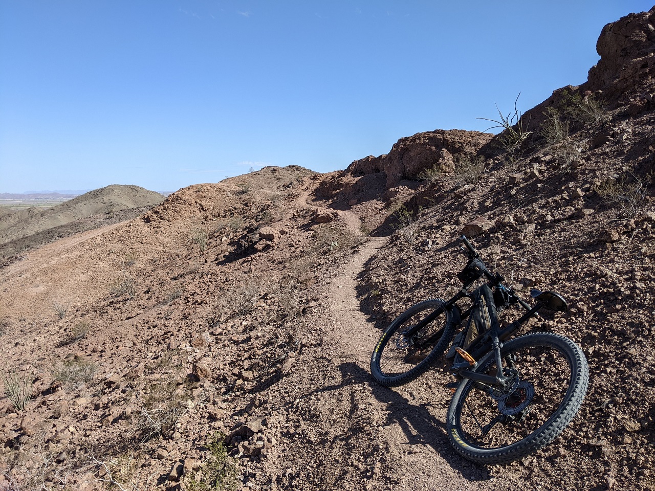
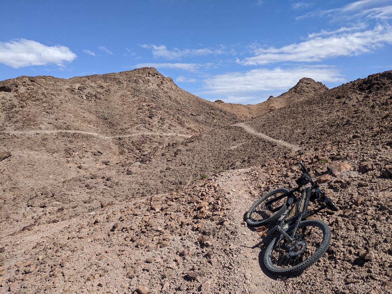
No more soft surface after that, but as we were getting to the furthest reaches of the refuge the road was more primitive and less travelled
There were a bunch of small valleys and ridges to traverse. Fortunately the road crossed the washes at the bottom of each rather than follow them
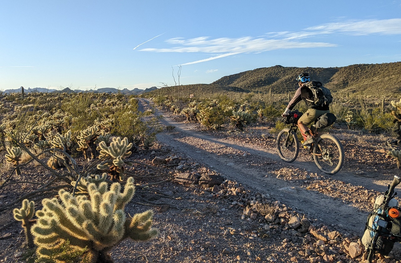
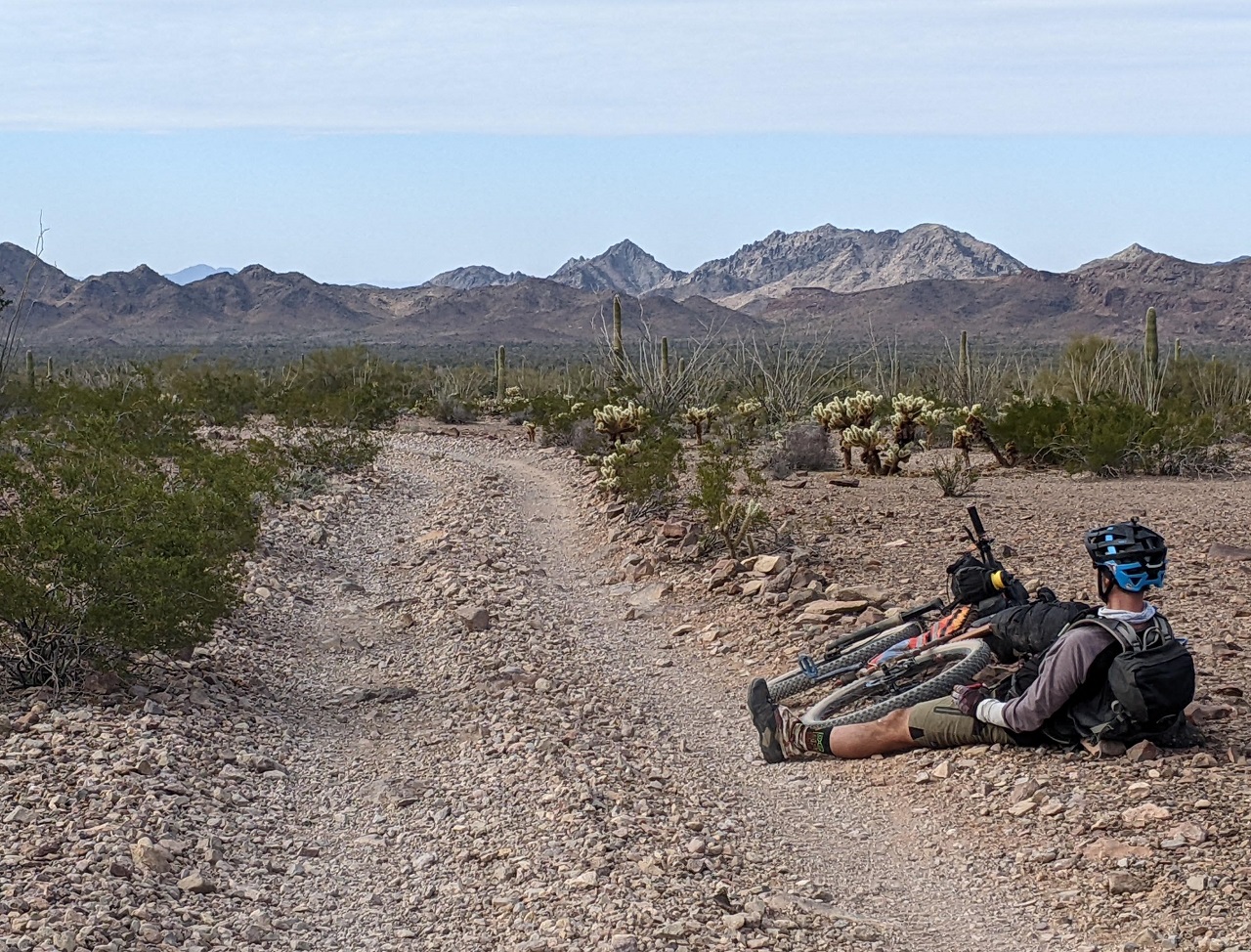
Getting into the golden hour we still had some miles to go. Figured we'd have enough water to dry camp but the goal would still be to make it to water at Hoodoo Well, and hopefully stay at Hoodoo Cabin if it wasn't occupied.
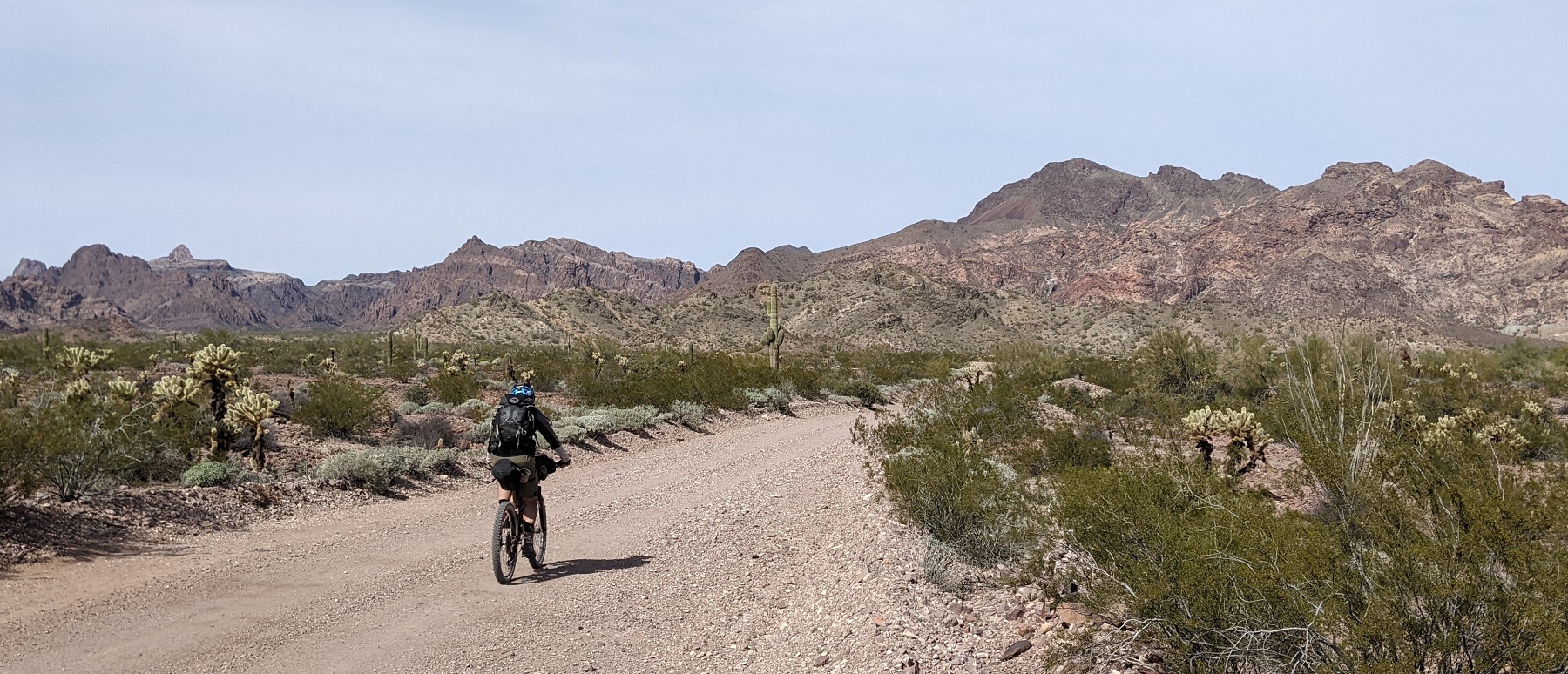
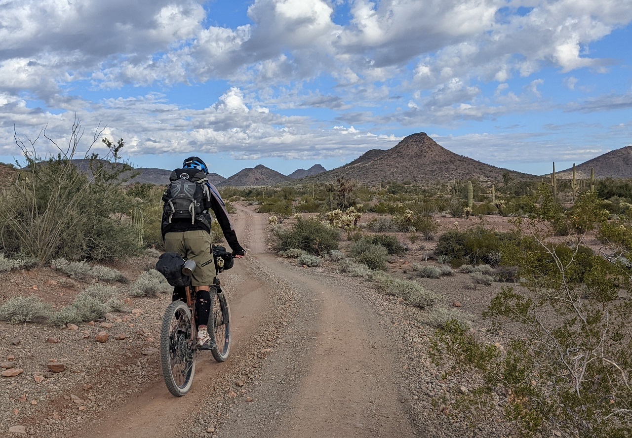
Pretty nice riding for the most part
* Pic by Schillingsworth
Lights went on after sunset as we still had 4-5 miles to go.
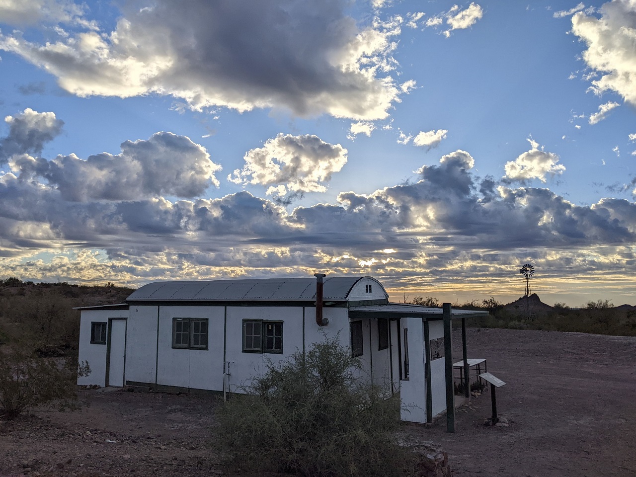
We saw lights up ahead in the dark which could have been at Hoodoo Cabin but turned out to be a group camping a mile before that. We turned in and found the cabin unoccupied. Score!
Having running water inside was a pipe dream though.
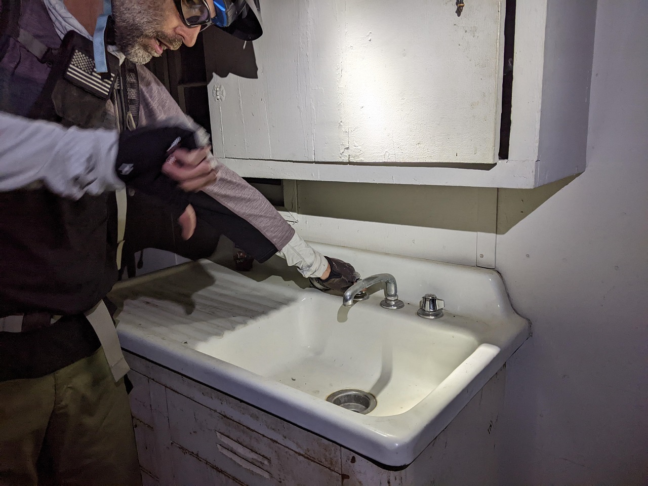
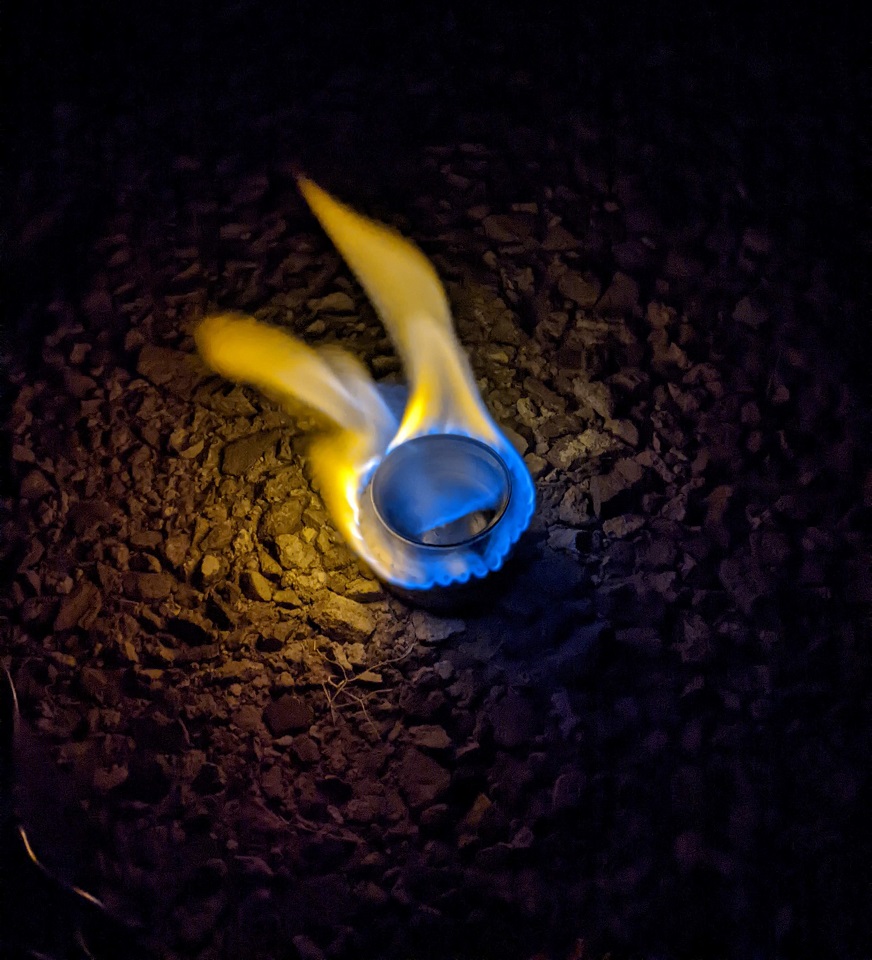
We made use of the kitchen for dinner and enjoyed a beverage before bed. A few jeeps did roll down to the cabin but turned around upon seeing our lights.
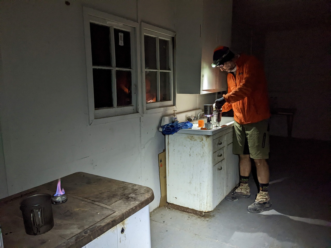
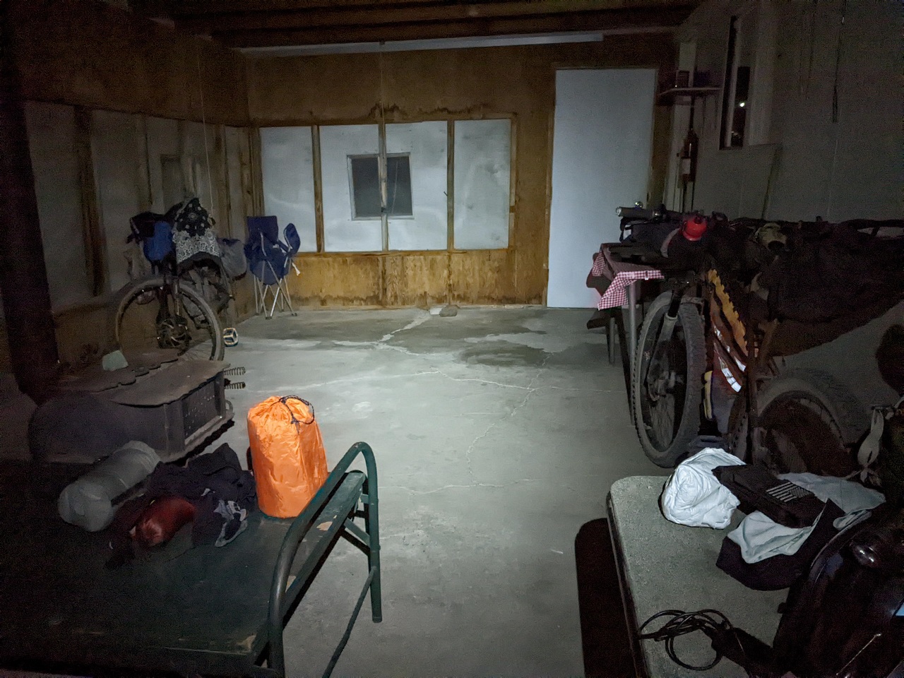
The cabin was clean inside with a couple tables and bare bunks. A mattress would have been nice given my leaky pad, and the wooden bed would prove a worse sleep than the rocky ground from the night before. We were at least out of the wind though, and it was a good 10* warmer inside the cabin than outside.
Stats - 56mi, +2900/-2200ftLast edited by evdog; 06-25-2024 at 02:50 PM.
-
02-25-2023, 03:15 AM #5
Registered User
- Join Date
- May 2012
- Location
- People's Republic of OB
- Posts
- 5,153
Day 3
Despite the advantage of warmer shelter we didn't get moving very quick. Did get outside not long after sunrise to pee and look around.
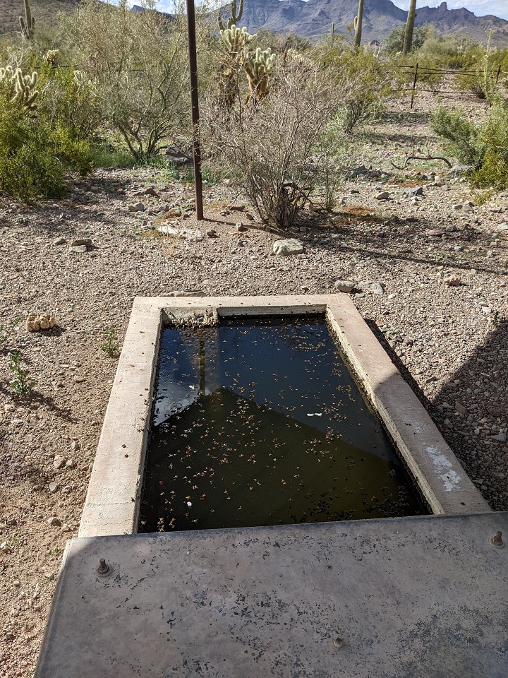
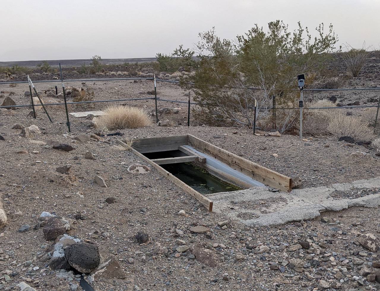
Both needing water we had breakfast over by the nearby water source, which was a wind powered well mainly for wildlife. Water was a bit off color but tasted fine once filtered.
Heading out, we had more miles to finish since we'd ridden less than planned on each of the first two days
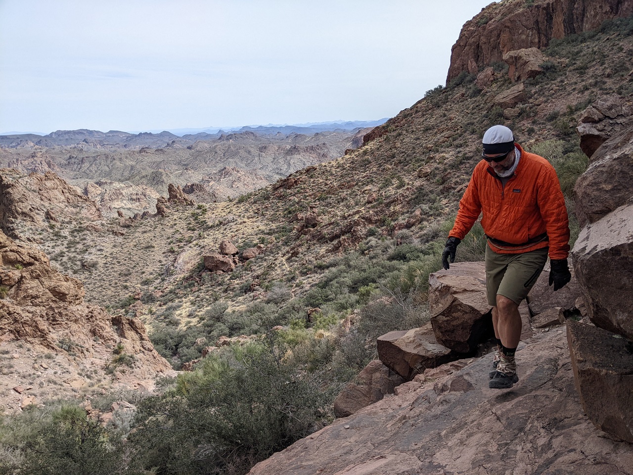
We'd start off with a rolling 5 mile climb to Red Rock Pass
We'd only filtered enough water to get us to the next source at Craven Well, just 8 miles away. A passing tacoma asked if we needed water which we gladly accepted since it would be easier than filtering later
Dropping off the pass
* photo by Schillingsworth
The next 10 miles would trend downhill. But not steeply enough to feel like we were descending, aside from a few short sections like this
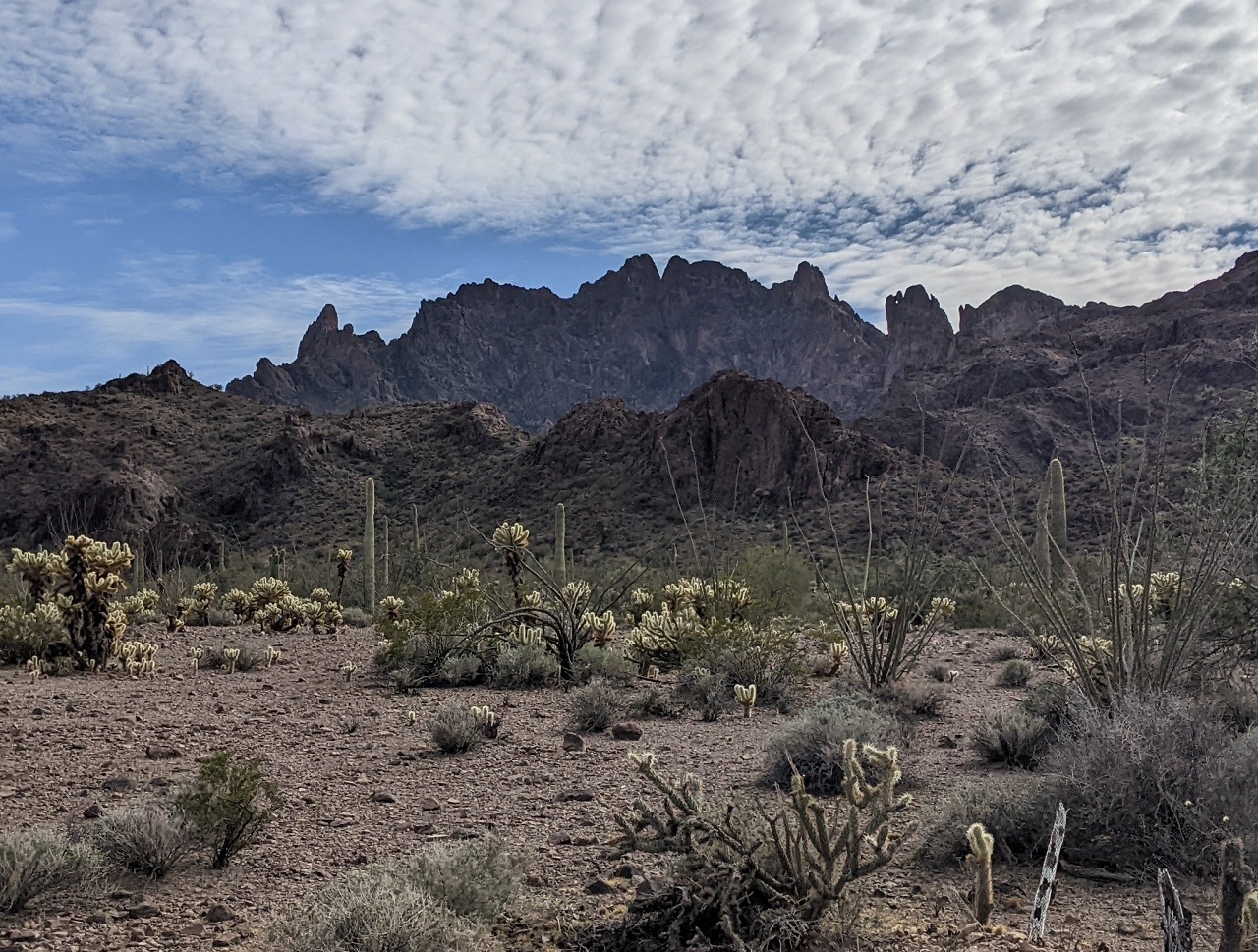
Scenery was pretty good until we dropped out of the mountains
Craven Well was covered in floating dead bees, with tons of live ones trying to get water. We were pretty happy to not have to filter here
Kofa Cabin had been our original target for the previous night. Was a good thing we didn't press on since it was occupied by a big group of moto riders. Multiple other groups showed up to check out the cabin while we were talking to the occupants, so it likely wouldn't have been a peaceful stay anyways.
* photo by random moto chica
We had miles to cover so kept going
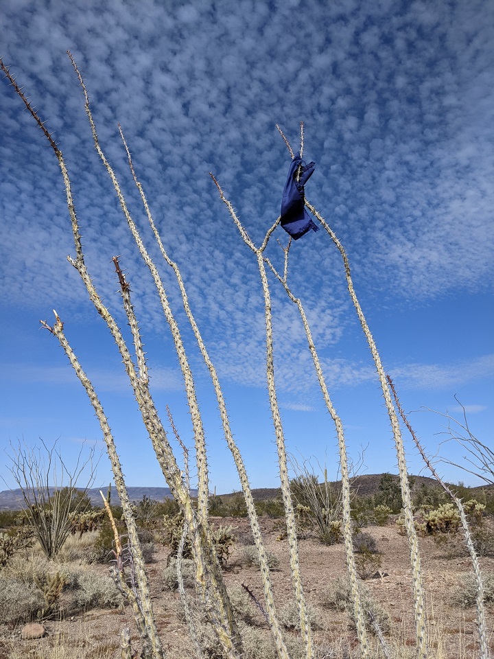
The Arizona equivalent of California's mylar baloons - pieces of flags from side by sides torn off by ocotillos overhanging the trails. Pulled a bunch of flag fragments off of these.
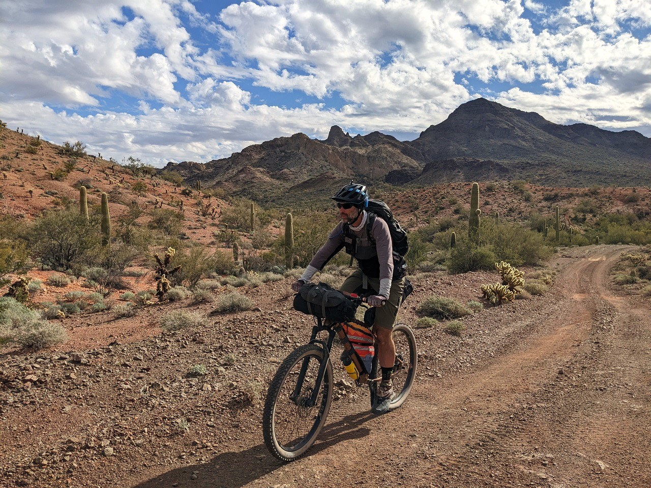
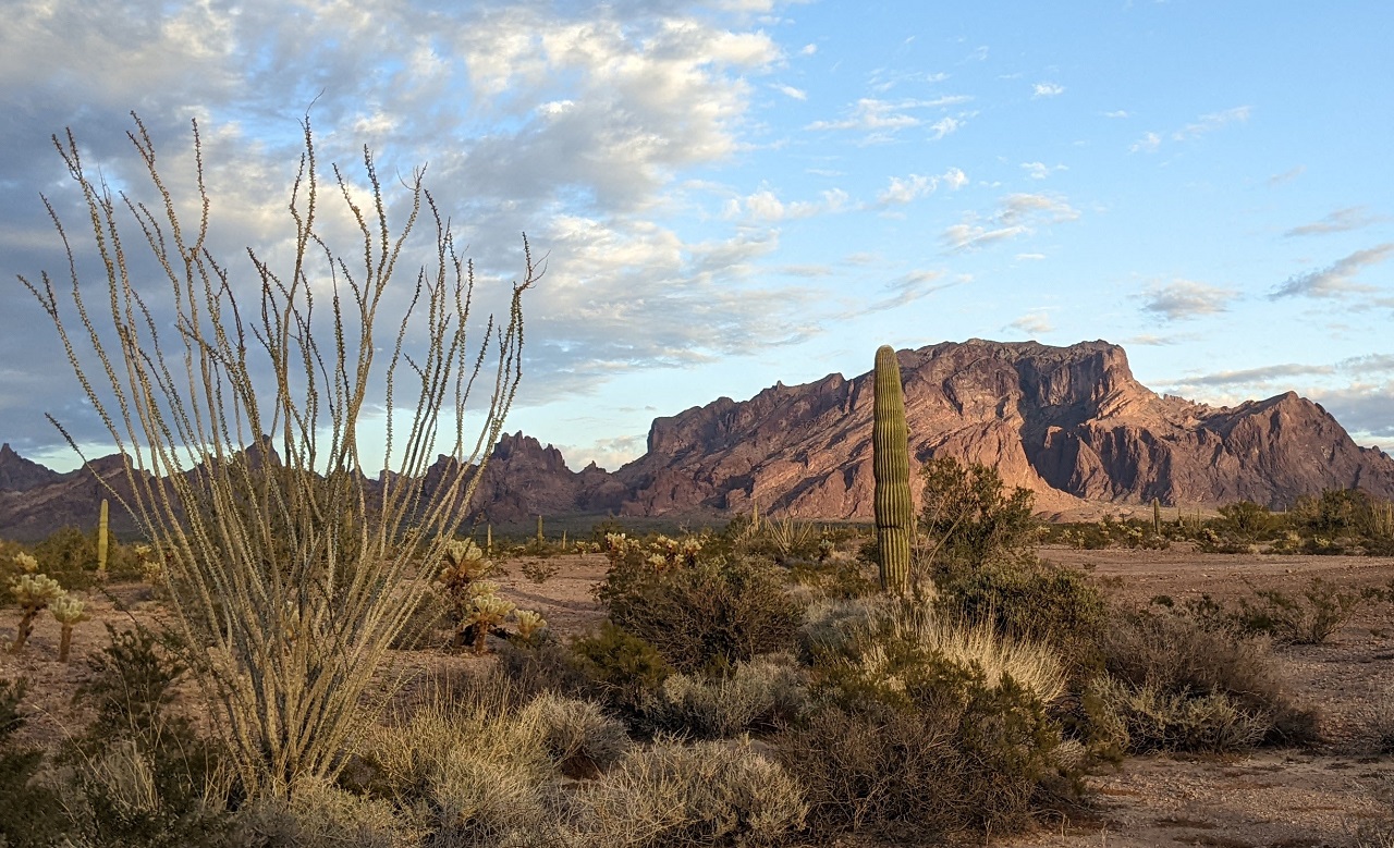
Steep mountains to the south
Hey, you can't park there! This may or may not have been an unplanned dismount after hitting loose gravel
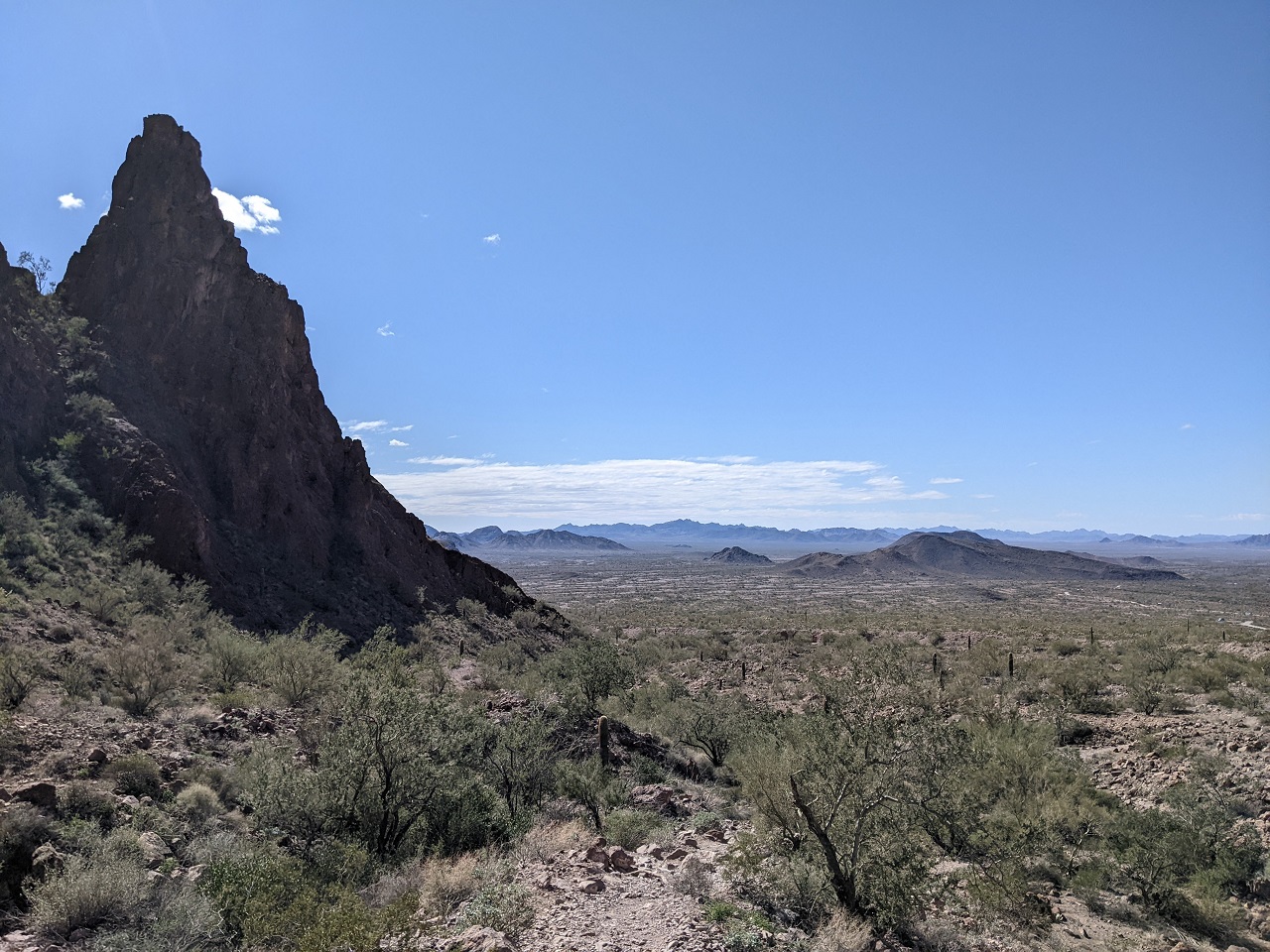
Finally the end of this segment is in sight through the pass ahead
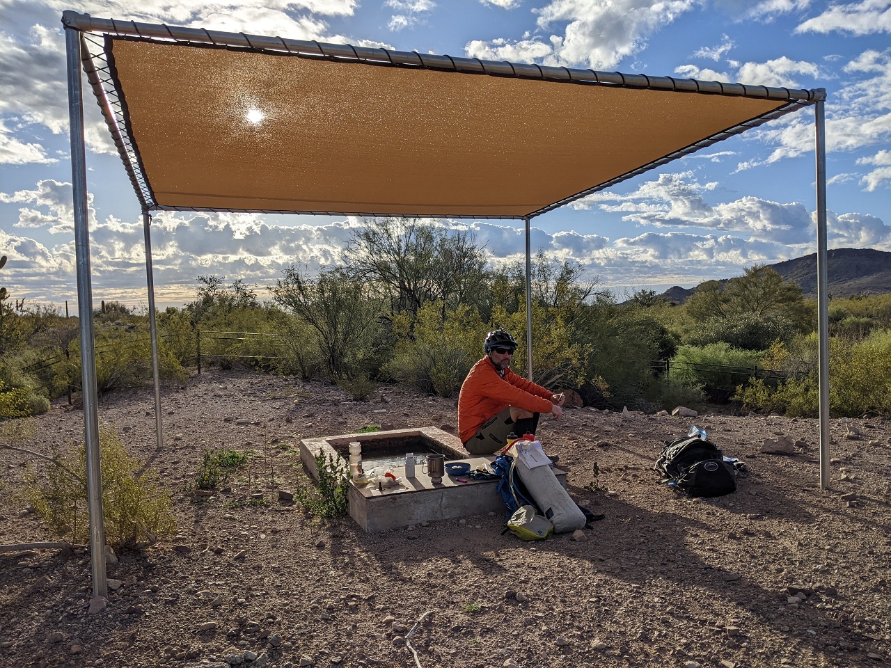
Snack stop at the Kofa entrance kiosk and shade structure
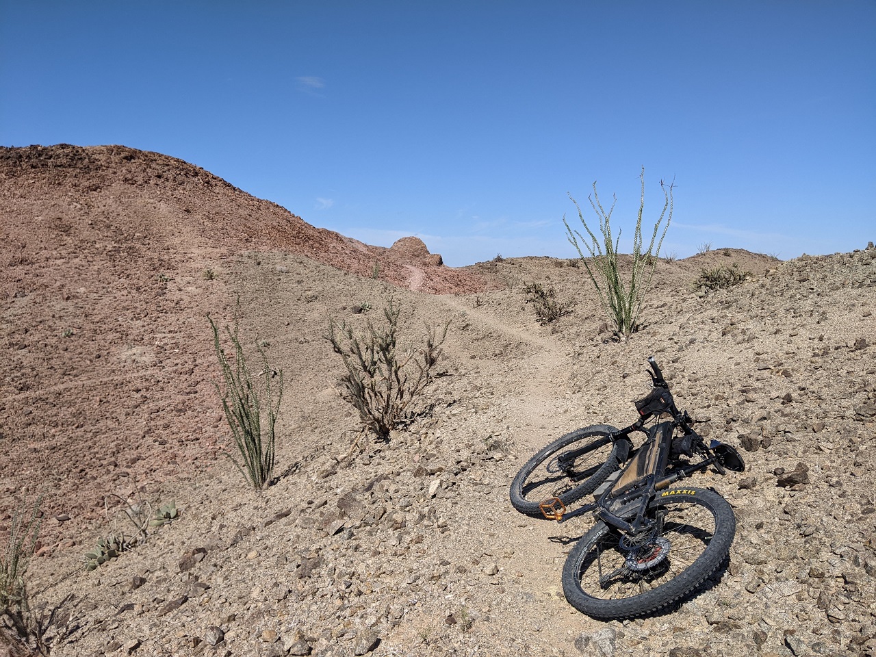
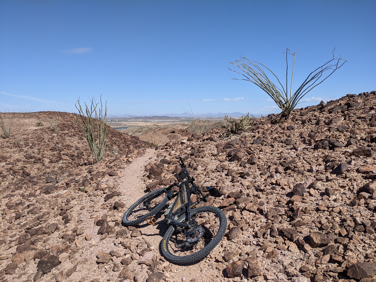
The miles south on the pipeline road sucked compared to what we'd ridden a couple days before. Once we turned off on a more primitive side road the ride quality and scenery both picked up, getting into golden hour
Cool looking cactus holding a big bird's nest
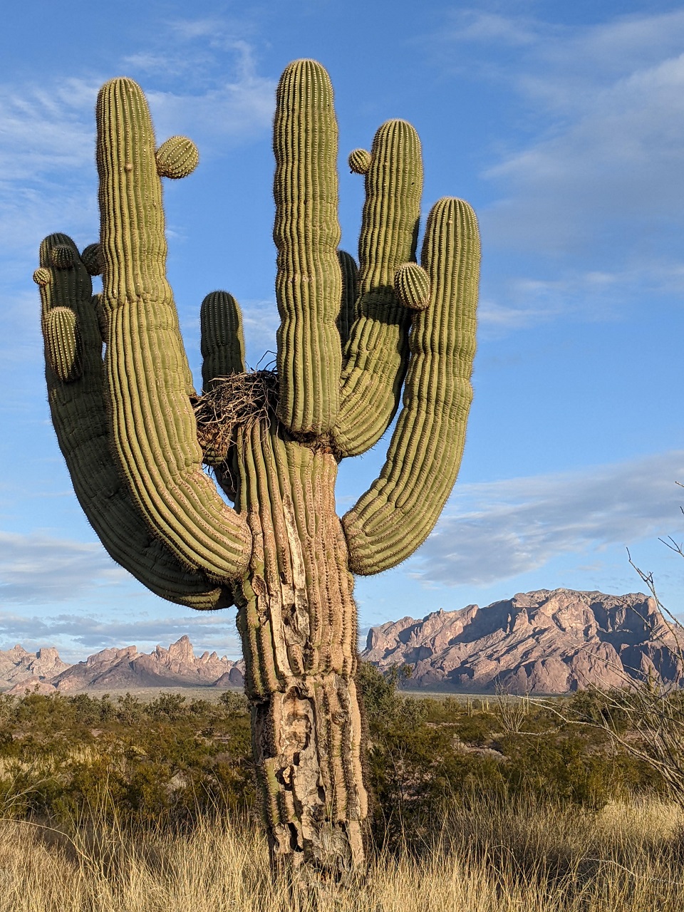
Time to finish this before the sun goes down!
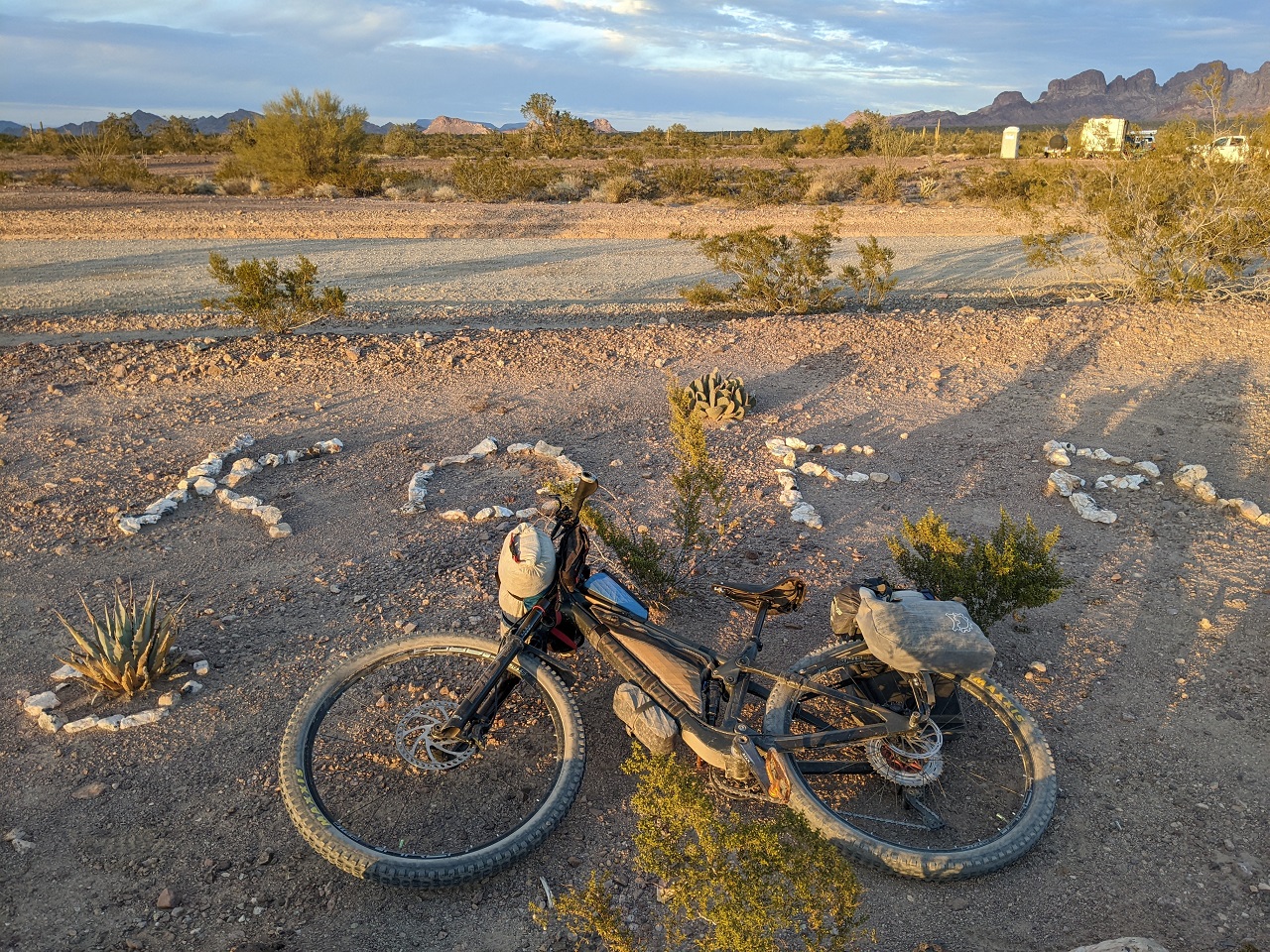
Cool rock arrangement at the southern Kofa entrance kiosk
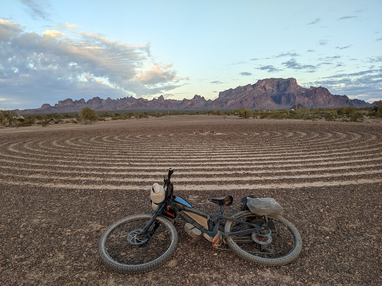
Shillingsworth mentioned I could get a cool shot at the nearby Spiral Labrynth with the sunlight mountains as a backdrop. It was maybe 100yds from where we parked. The sun went behind a cloud just as I pedaled over. But still turned out cool.
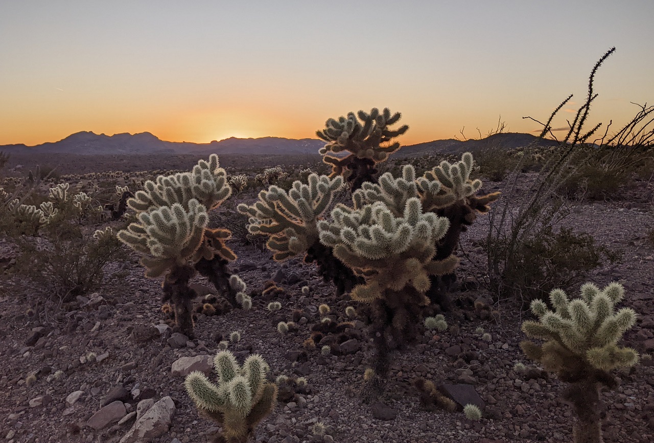
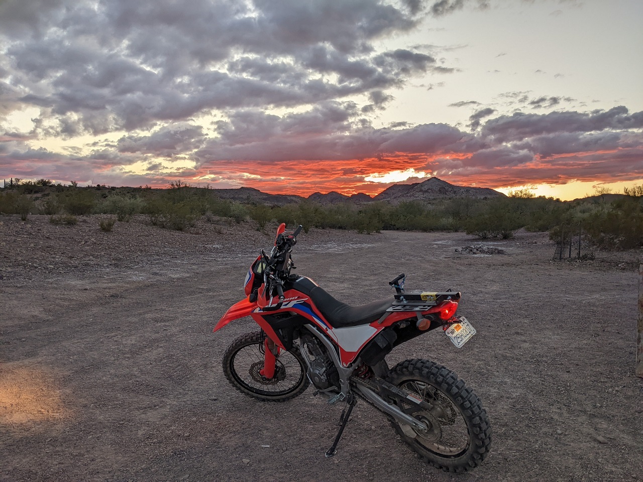
Just an average AZ sunset looking the other way as well
Stats for day 3 - 57mi, +2200/-2900ft.
Total stats - 154 miles, +/- 8,800ft
Really liked this route. It wasn't hard from an elevation perspective but the loose/rocky surface made it slower than expected. Even with that the distances were manageable for a 3-day trip and it was nice not having to do big pushes after dark. Plenty enough water sources scattered around that you can explore around a bit, and it is pretty scenic. I'd definitely like to come back and do some more exploring of side roads and other hikes from various points.Last edited by evdog; 06-25-2024 at 02:53 PM.
-
02-25-2023, 10:33 AM #6
one of those sickos
- Join Date
- Oct 2005
- Location
- Tahoe-ish
- Posts
- 3,345
Excelente!
ride bikes, climb, ski, travel, cook, work to fund former, repeat.
-
02-25-2023, 12:20 PM #7

 Registered User
- Join Date
- Dec 2009
- Posts
- 5,374
That's very adventurous Evan! It looks like a lot of fun and I think I'd like to bike pack but I unfortunately can't ride for much more than 20 or so miles before my tailbone says nope, no more for you.
Excellent photos, especially that last handful. Thanks for taking the time to post.dirtbag, not a dentist
-
02-25-2023, 05:03 PM #8
Registered User
- Join Date
- May 2012
- Location
- People's Republic of OB
- Posts
- 5,153
Bonus TR
Shillingsworth left for home the prior night rather than stick around and hit Palm Canyon in the morning. I slept in a bit, had breakfast and then drove up the hill to the trailhead. It was a few miles up, we wouldn't have made it the prior day before dark unless we'd driven.
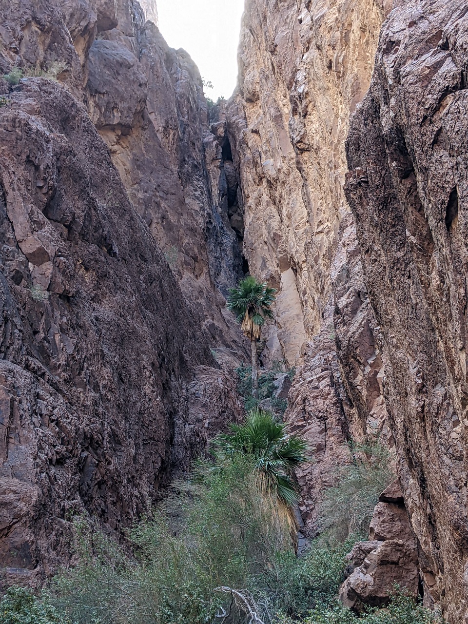
Looking up the canyon. The main grove of CA fan palms is less than 1/2 mile up.

These mountains are serious bighorn sheep terrain. I was hoping to see one.
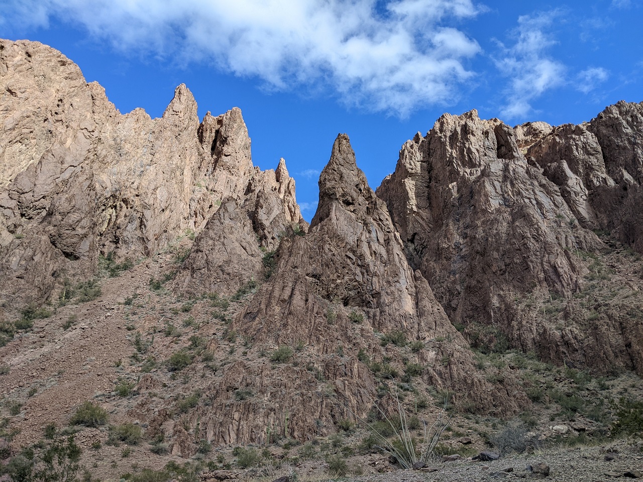
The palm grove was a fair distance up a side canyon. Pics you'll see online are a lot better than I could get with the old cell phone
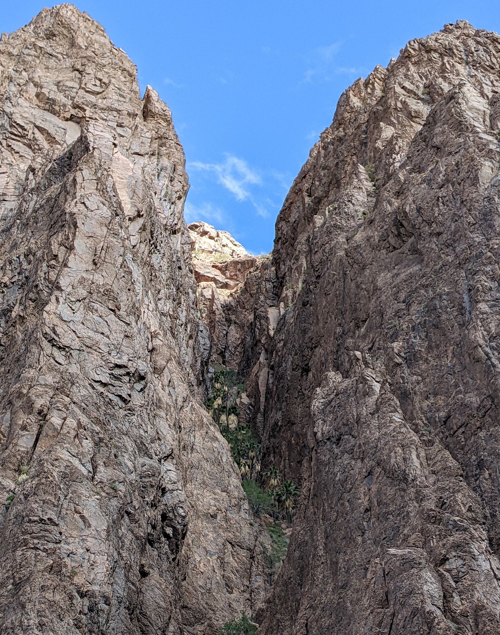
I thought there could be more higher up, and found a trail continuing beyond the main viewpoint. It was really nice hiking in the shade with a cool breeze coming down the canyon.
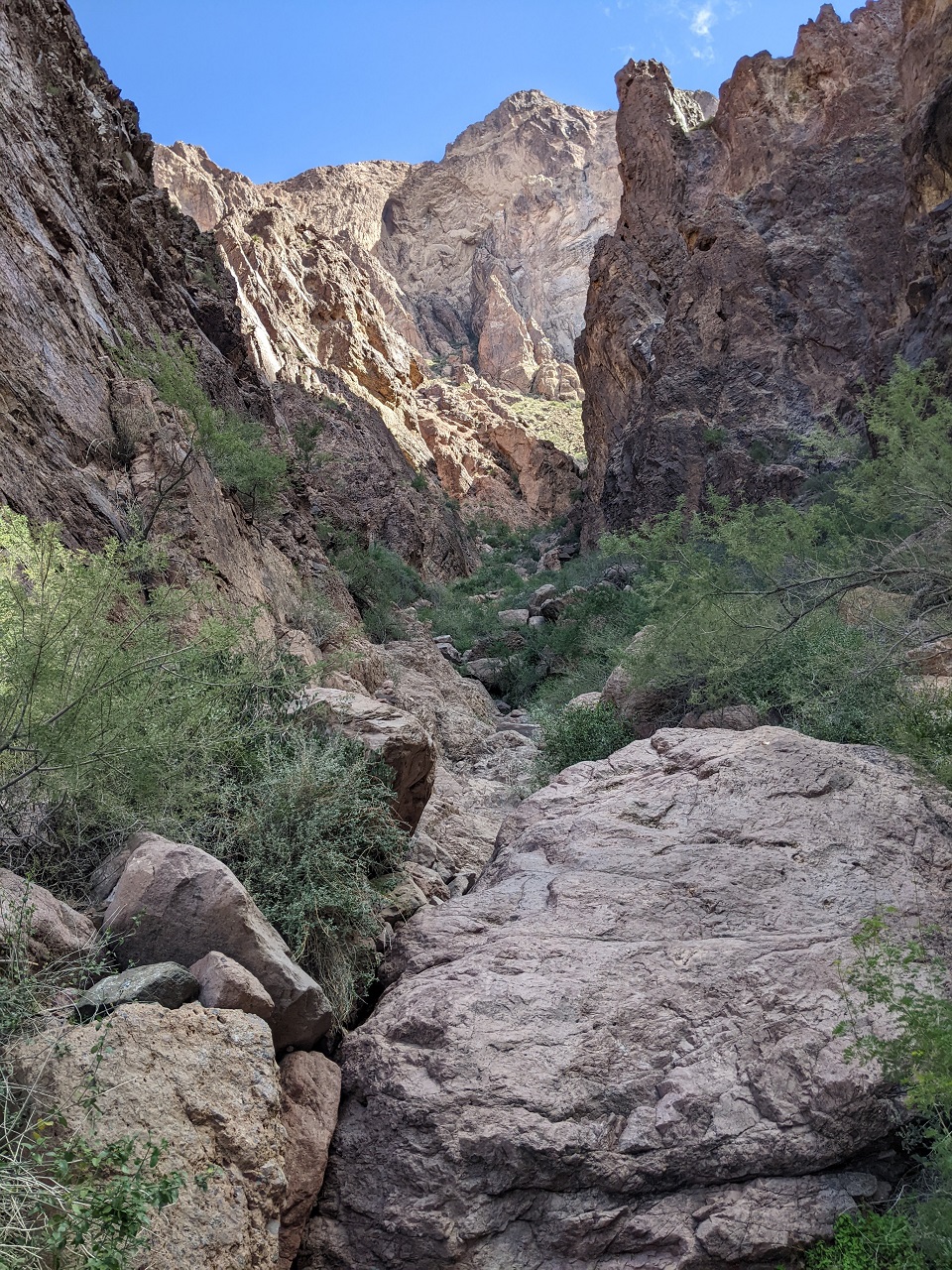
What a fun trail, scrambling up, over and around boulders while trying to dodge every plant with sharp spikes. Finally made it out of the shadows and up into a cool bowl above the main canyon
I didn't have sunscreen or other sun protection since I hadn't planned on going far, so I didn't allow much time to explore
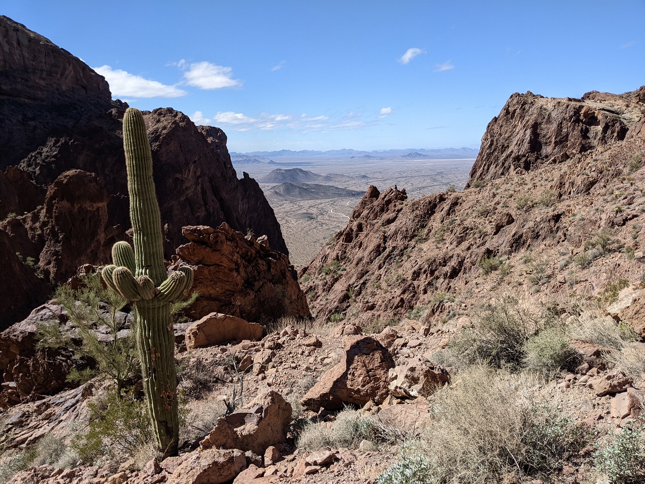
Climbed up a bit to where there were some saguaros and to get some better views
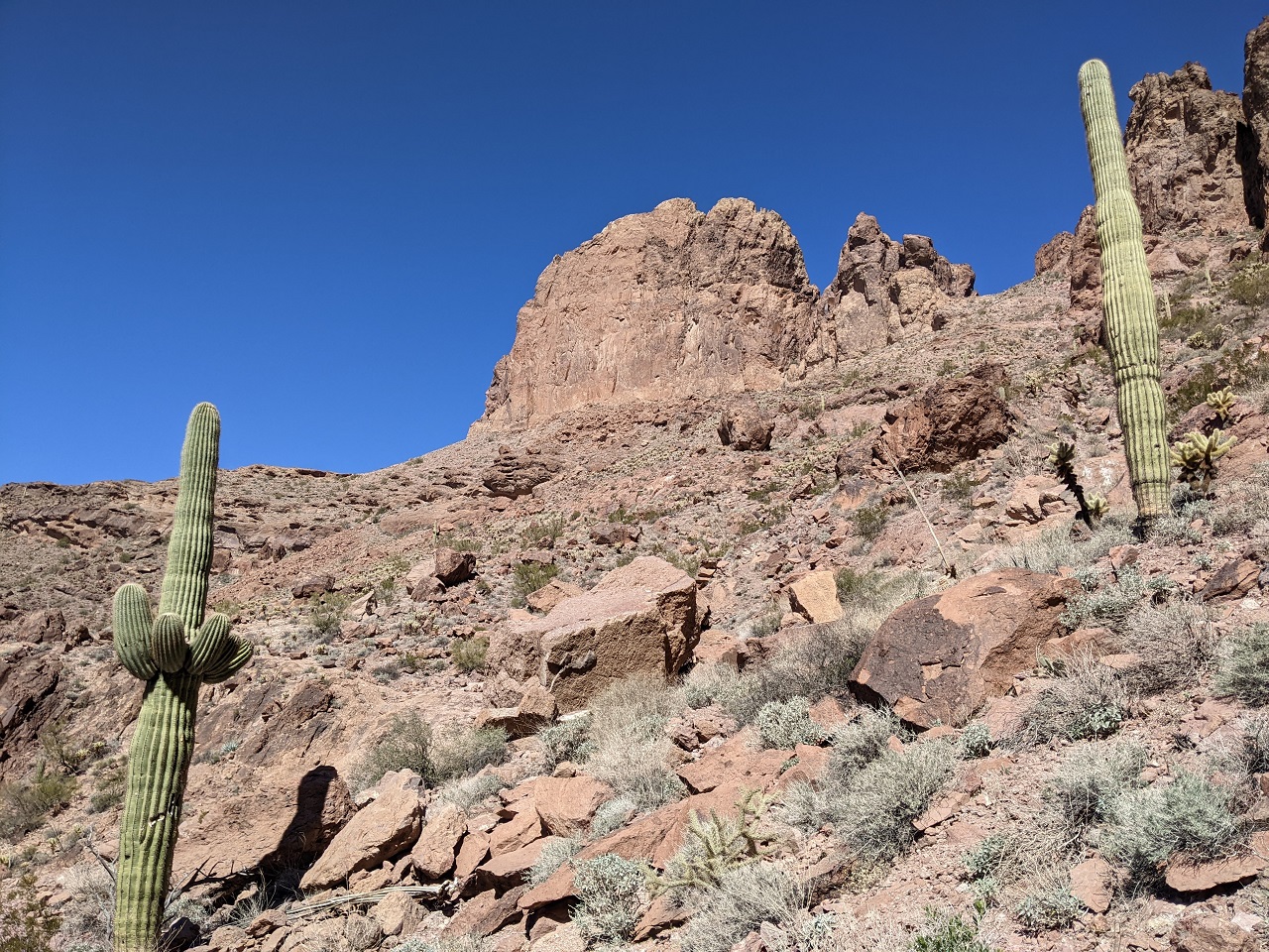
Awesome spot, I liked how the walls of the canyon framed the view of the desert below. I'd like to come back sometime better prepared and see if it's possible to scramble up to Signal Peak from this side. It's not far away as the crow flies.
On the way back down I happened to look left at just the right time and spotted a couple individual palms up this side canyon. Tried to get over to them but the trail soon petered out and brush got too thick.
Back out into sunshine, time for a beverage and some lunch. The hike was just over 2 miles, so I went maybe 2/3 mile past the main grove and gained around 750ft.
Last edited by evdog; 06-25-2024 at 02:55 PM.
-
02-25-2023, 05:12 PM #9
Registered User
- Join Date
- May 2012
- Location
- People's Republic of OB
- Posts
- 5,153
Thanks! Originally Posted by raisingarizona13

If you're interested in bikepacking just give it a go. The beauty of it is you can ride as far as you want and then camp. I've done plenty of overnighters where I rode in just 10 miles or so, camped and rode back out in the morning.
-
02-25-2023, 05:44 PM #10
Registered User
- Join Date
- Dec 2009
- Posts
- 5,374
I camp so much for work that I don't anymore for pleasure. I really only ride for work or downhill riding and tech stuff honestly. I love the idea of it but it's not my bag honestly. Heck, I often joke that I'm not really a cyclist! Different strokes and all Originally Posted by evdog
 ! I love checking out you and shillingsworths adventure posts though!
dirtbag, not a dentist
! I love checking out you and shillingsworths adventure posts though!
dirtbag, not a dentist
-
02-25-2023, 11:30 PM #11
Registered User
- Join Date
- May 2012
- Location
- People's Republic of OB
- Posts
- 5,153
More bonus TR....
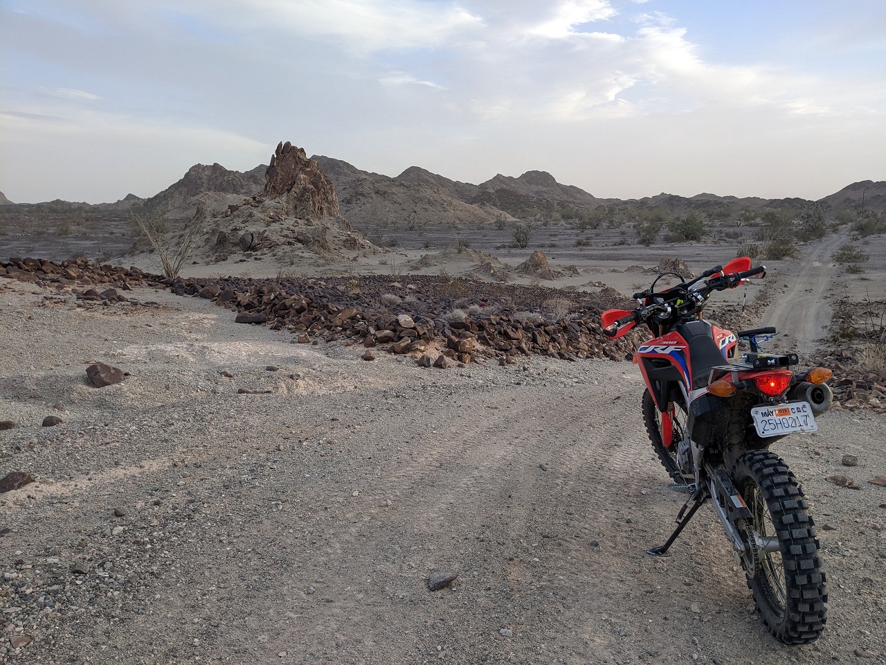
When looking over maps of the refuge earlier I'd spotted a couple roads inside the refuge on the east side that formed a loop. The original route went outside the refuge boundary to the east. We ended up using one of these interior routes over Red Rock Pass rather than go outside the boundary. I wanted to check the other two options out and they would make a good moto loop.
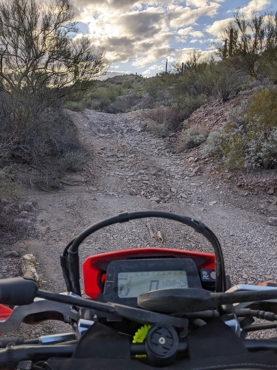
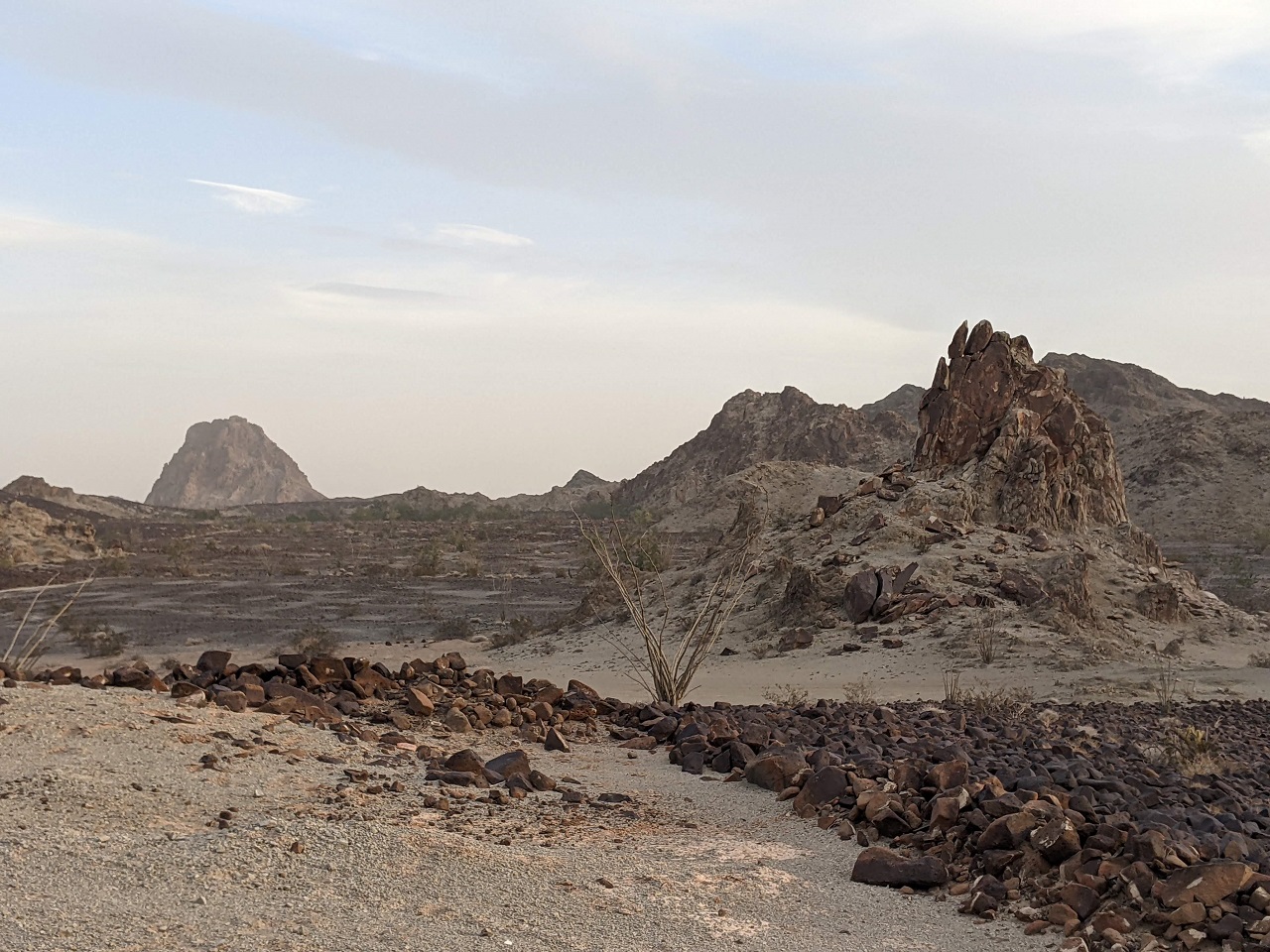
I got over there later than I should have to do a 50 mile loop. If it was fast-ish riding I'd pull it off, if not I'd be doing some riding in the dark. After getting to the other trail over Bighorn Pass the road soon dropped into a gravelly wash
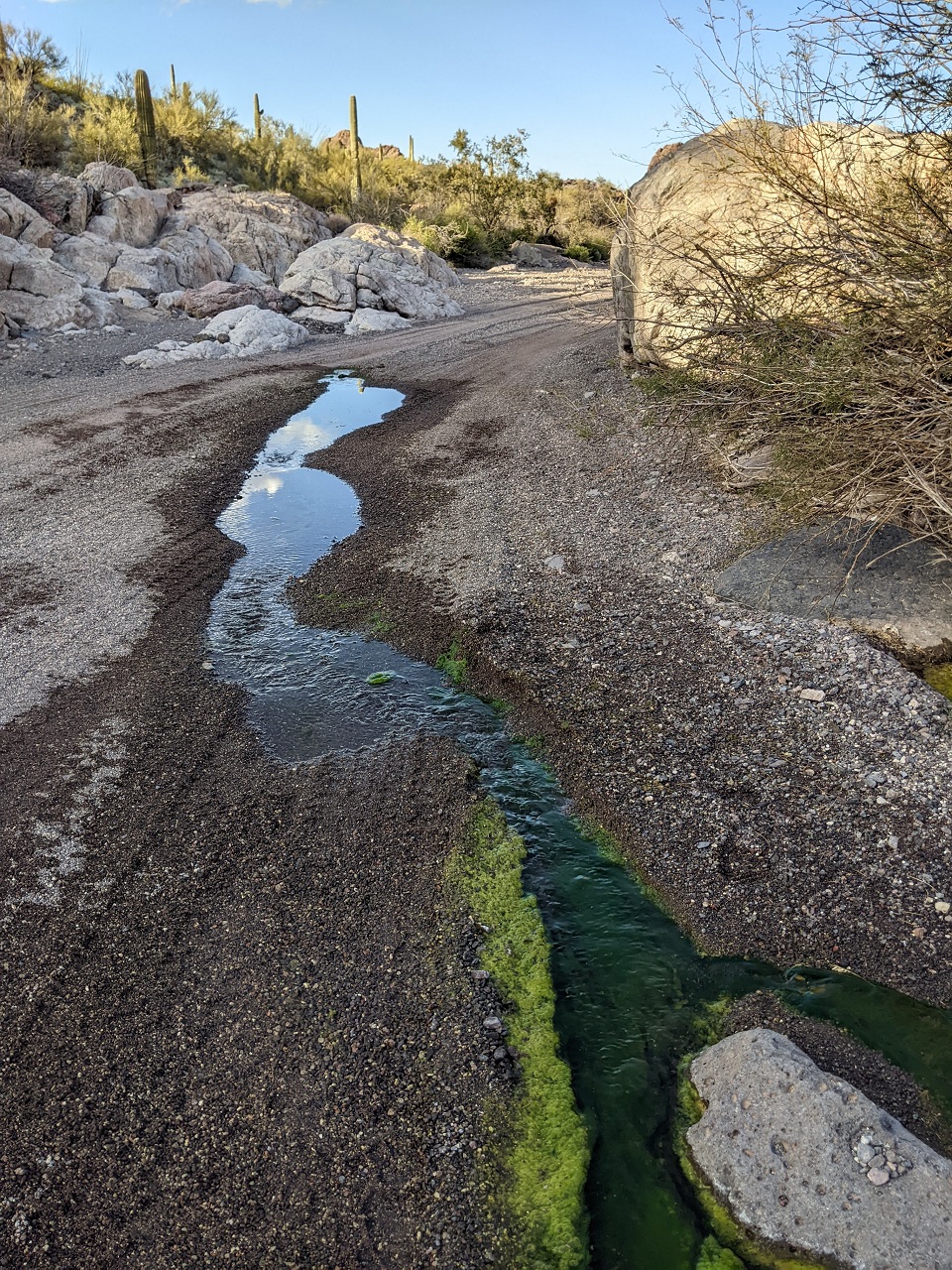
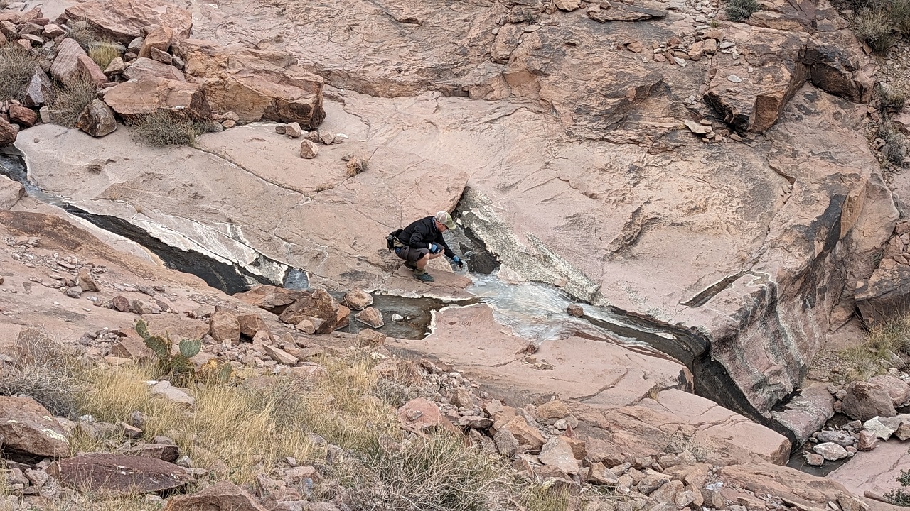
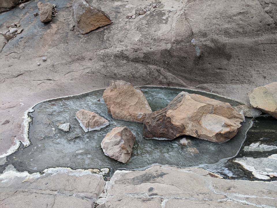
Came across this stream which emerged out of the wash, flowed for 30ft and then disappeared again. This has gotta be the shortest stream I've ever seen that was actively flowing
Started getting more embedded rock in the wash
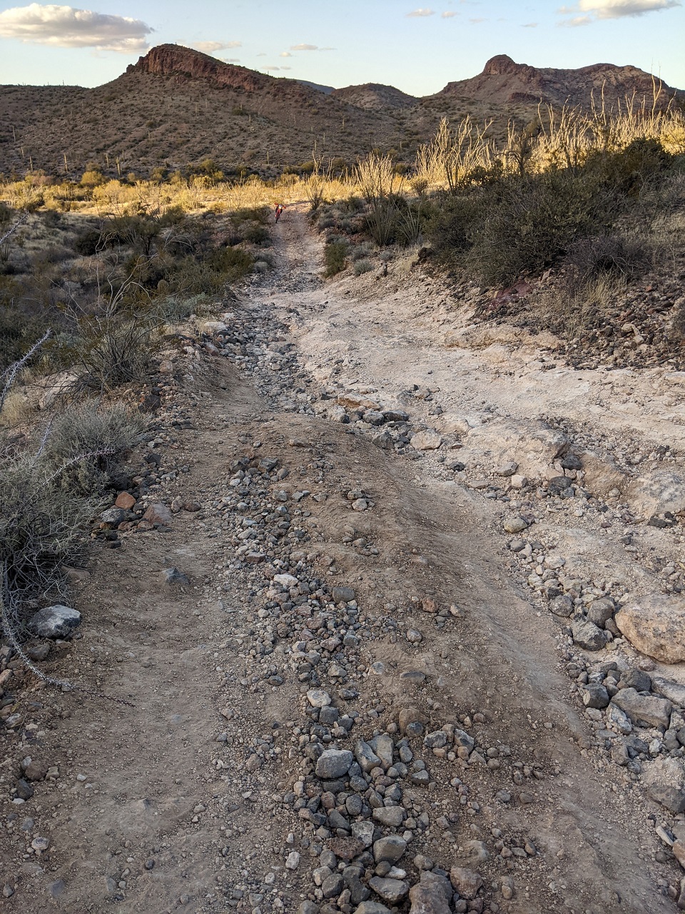
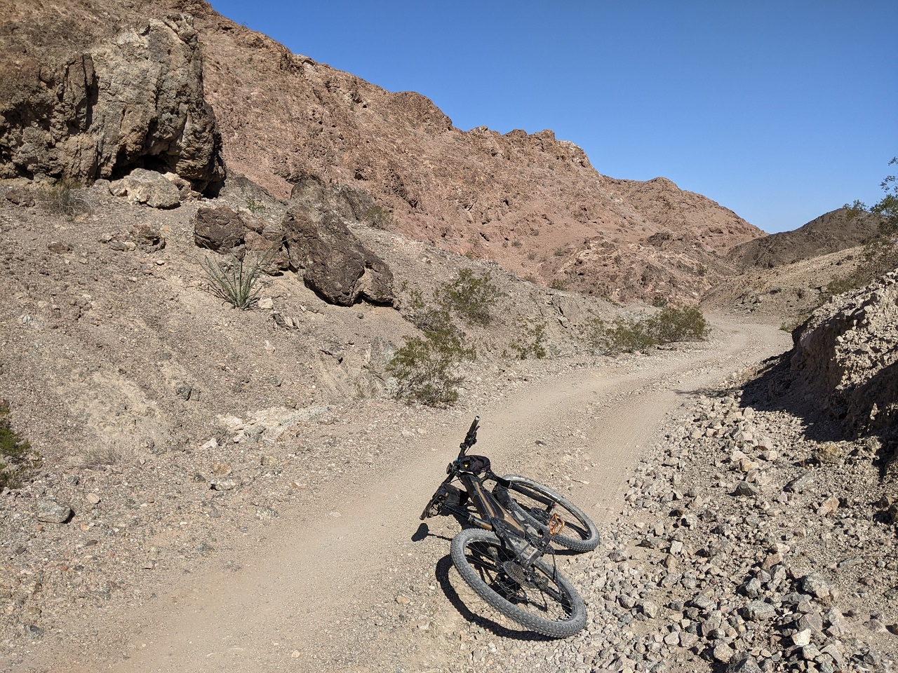
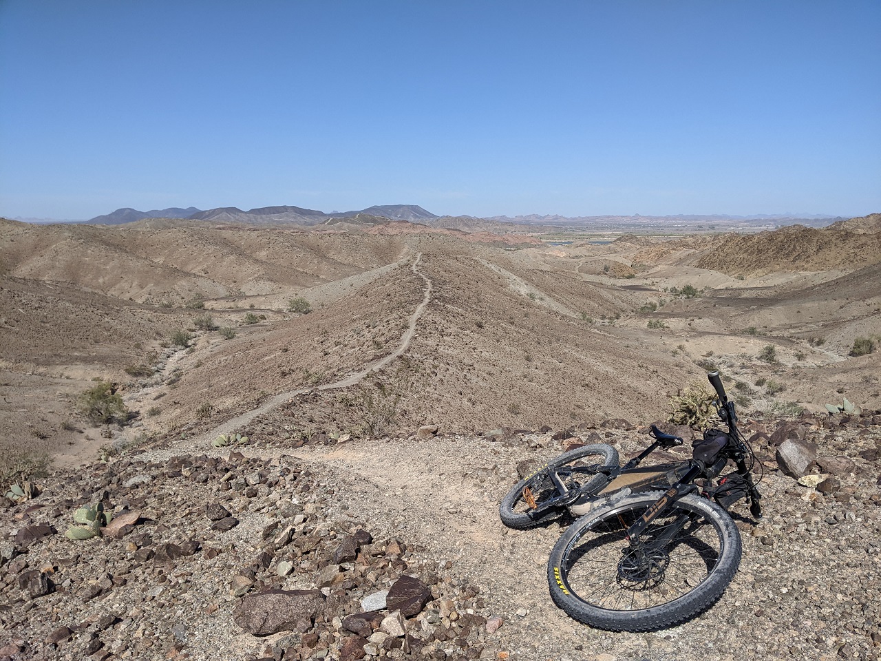
There was maybe 2 miles of actual nice riding
And a lot of sections like this of varying lengths.
I was doing pretty well on them. Some longer ones I scouted on first since I couldn't see all the way up. This one looked ugly from below but was totally fine. Others were harder, but I made it up all of them first try.
Bighorn pass. Am I done yet? This was taking a lot longer than expected.
This descent got pretty ugly with loose basketballs towards the bottom. Felt pretty lucky to make it down without dumping the bike
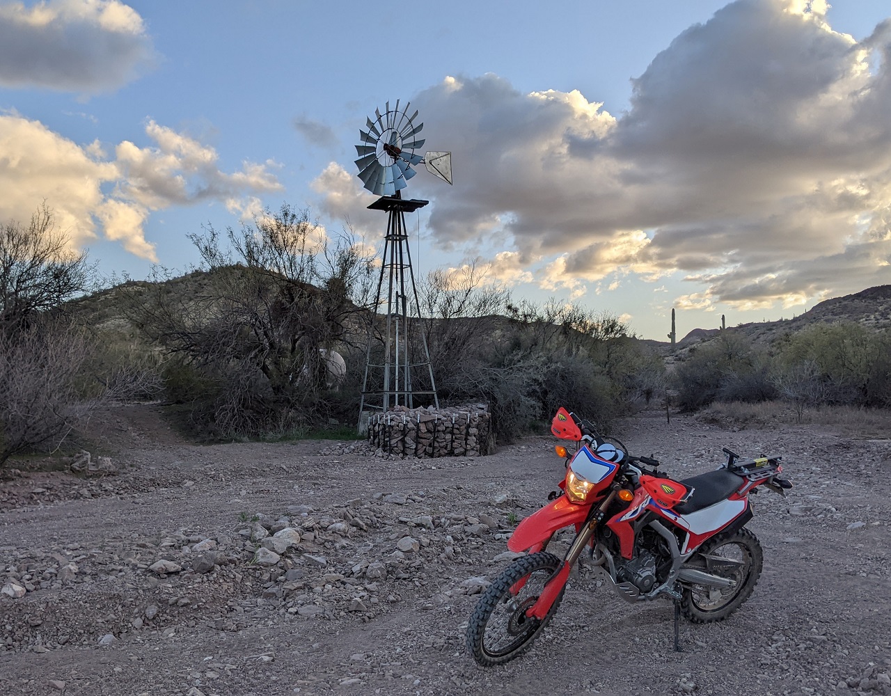
Another wind powered well. Called Mid Well.
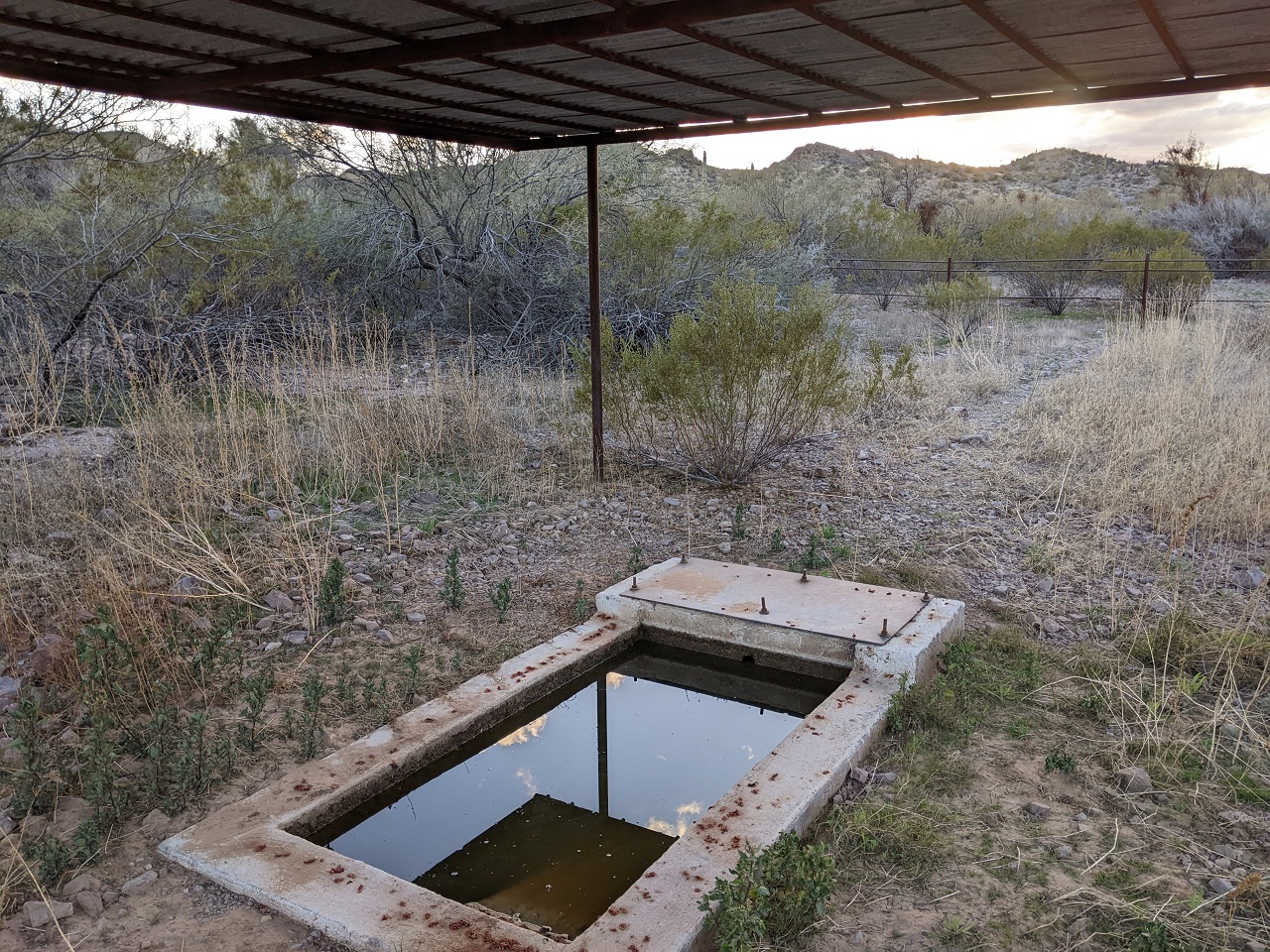
Checked out the water source. Kinda gross but filterable if you need it.
After that it was gravel all the way down Hoodoo Wash. I thought it connected a ways north of Hoodoo Cabin and hadn't planned to stop in, but it came out within view. No one there again, but tonight I'd moved on. There was even a hint of cell service so I snapped a couple pics and texted one to Schillingsworth.
Pretty nice sunset. I decided to bail on the second half of the loop to the east and instead take the same road over Red Rock Pass as our bikepack, since I knew it was good. The eastern route crosses a mountain range which could mean rocky steeps and I didn't want to be doing those for the first time in the dark.
The loop was 54 miles. We picked the right way to go for the bikepacking loop. The trail over Big Horn Pass would be pretty poor on a bike between the gravel wash riding that would be pretty miserable, and the 25-30 steep climbs. There wasn't a lot of nice riding on it and the scenery over Red Rock Pass was better.
Last edited by evdog; 06-25-2024 at 02:56 PM.
-
02-26-2023, 01:54 AM #12
Registered User
- Join Date
- May 2012
- Location
- People's Republic of OB
- Posts
- 5,153
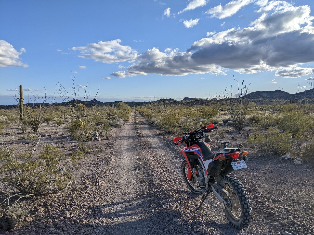
More bonus riding....
After the moto ride I cooked dinner and headed down toward Yuma and found a campsite at Mittry Lake, an old diversion of the Colorado River. Not a great campsite as the area is crammed with boondockers, but good enough.
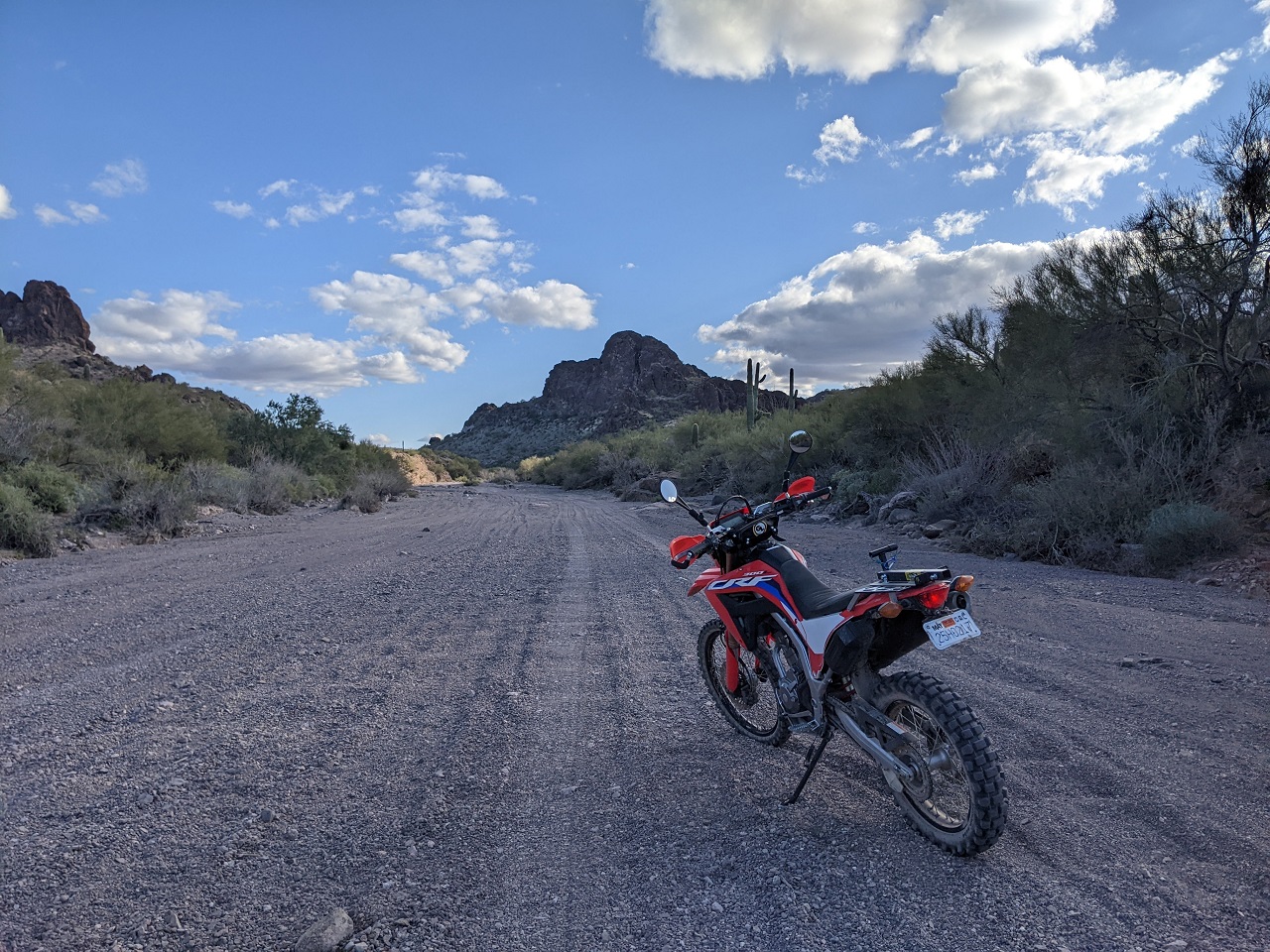
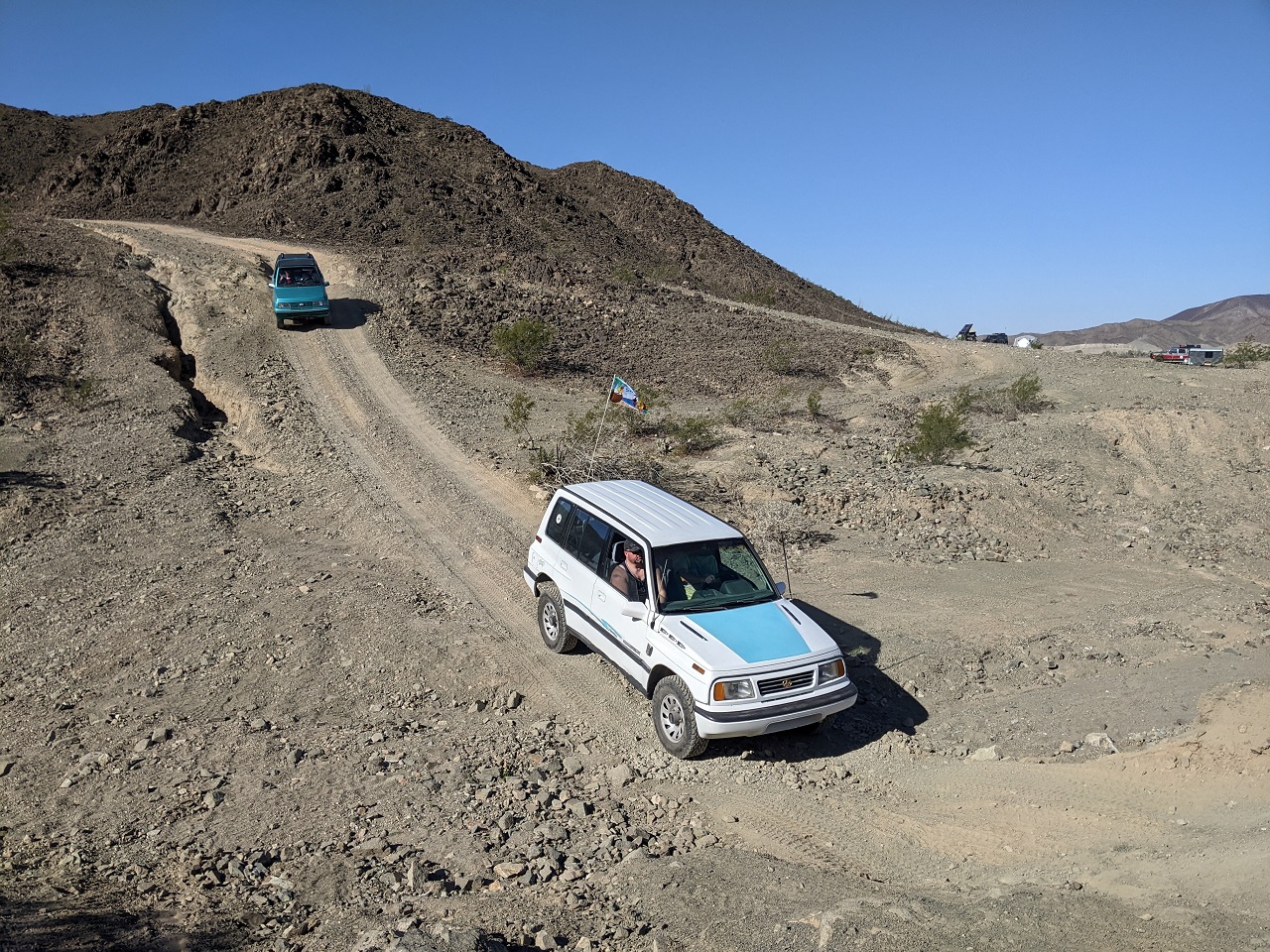
I wanted to check out the northern end of Sugarloaf trails in the Laguna Mountains. I've ridden a lot of the trail network before but never the stuff at the north end. Access here is up a short but steep jeep trail. Had to wait for the suzuki sidekick club to roll through.
Checked out a doubletrack first that headed down to the water, hoping there was a bikeable route to the other side.
No such luck, and no swimming either. The canal goes underground here for a mile or so.
At the top of the doubletrack, a trail called Paradise starts. Very nice at first, it then dropped steeply to a valley bottom.
Cool cacti
Started up Champagne. I hadn't ridden the northern half of it before. Was definitely going the wrong direction : )
It was too windy to be up on the ridge tops so I dropped down and crossed over Ryan's Trail
Picked up Westside which I would follow back around to the north. This was another one I'd only ridden part of.
It was mostly nice but some parts in the valley bottoms are affected by flooding and were hard to follow.
Picked up Mano a mano at the end. The eastern half was rocky and cool. Fun ride. 12.5mi, +/- 2,050ft
Last edited by evdog; 06-25-2024 at 02:57 PM.
-
02-26-2023, 07:36 AM #13
 Registered User
- Join Date
- Apr 2004
- Location
- Three-O-Three
- Posts
- 15,667
Fucking sick. I'm in Tucson right now and the scenery once you get into the big mountains around here is absolutely magical. Looks pretty incredible where you guys were too!
-
02-26-2023, 10:30 AM #14
Registered User
- Join Date
- May 2012
- Location
- People's Republic of OB
- Posts
- 5,153
Yeah the mountains here are super cool. Maybe not so much in Yuma, but it is cool in its own right - total moonscape!
-
02-26-2023, 10:54 AM #15
Registered User
- Join Date
- May 2012
- Location
- People's Republic of OB
- Posts
- 5,153
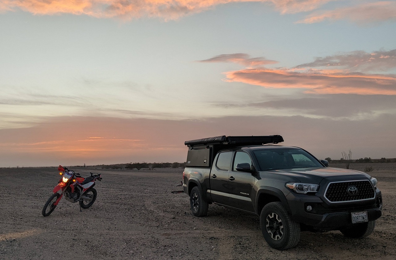
Plans at this point were still up in the air. I had some other stuff I wanted to check out, but the forecast changed dramatically while we were bikepacking and a big storm would now be rolling through starting tonight closer to the coast. It wouldn't hit the Yuma area for an extra day but I didn't want to be driving through the San Diego mountains in a storm. So I decided to do one more moto ride near Yuma and then GTFO.
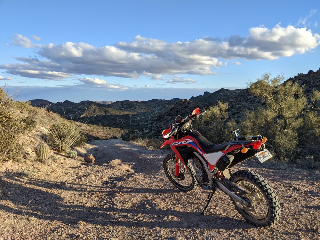
Headed up a bit NW of Yuma on the CA side, just across from the Imperial Dunes Rec Area (aka Glamis)
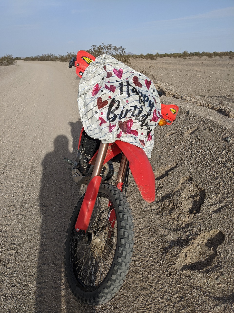
Must be back in CA when you get mylar baloons again rather than torn off SxS flags
Moonscape
Heading for those mountains. Trying to find a good MTB route through the area
Wildlife water
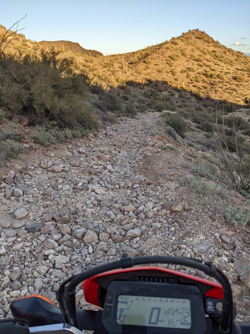
Got turned around by this hill. Hiked up it a bit and it kept going out of sight around the corner. Lots of loose big rock and no clear lines. No problem to push up on MTB but on the moto, no thanks.
Managed to tip the moto over trying to turn around and bent the hand guard enough it interfered with the clutch. Had to undo one side of the hand guard to ride out.
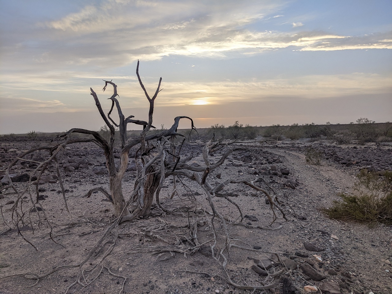
Super cool geography here, and with the soft light from airborne dust partially blocking the sun it was kind of surreal.
Figured it was time to head back. I was about 50/50 finding trails that were good surface vs. unrideable gravel washes and didn't want to be riding through more unknown stuff in the dark. But I'd found a good way through about half what I wanted to.
Got back to the truck just after sunset. Dinner in El Centro and I made it back to the base of the mtns just as CHP was closing 8 to high profile vehicles due to high winds. Not even snowing/slippery and it was one of the sketchier drives I've done with erratic gusting winds, sideways rain and thick fog up top. Great trip!
Last edited by evdog; 06-25-2024 at 02:58 PM.

 Reply With Quote
Bookmarks