Full List Of North American Avalanche Forecasting Centers
Popular Stories


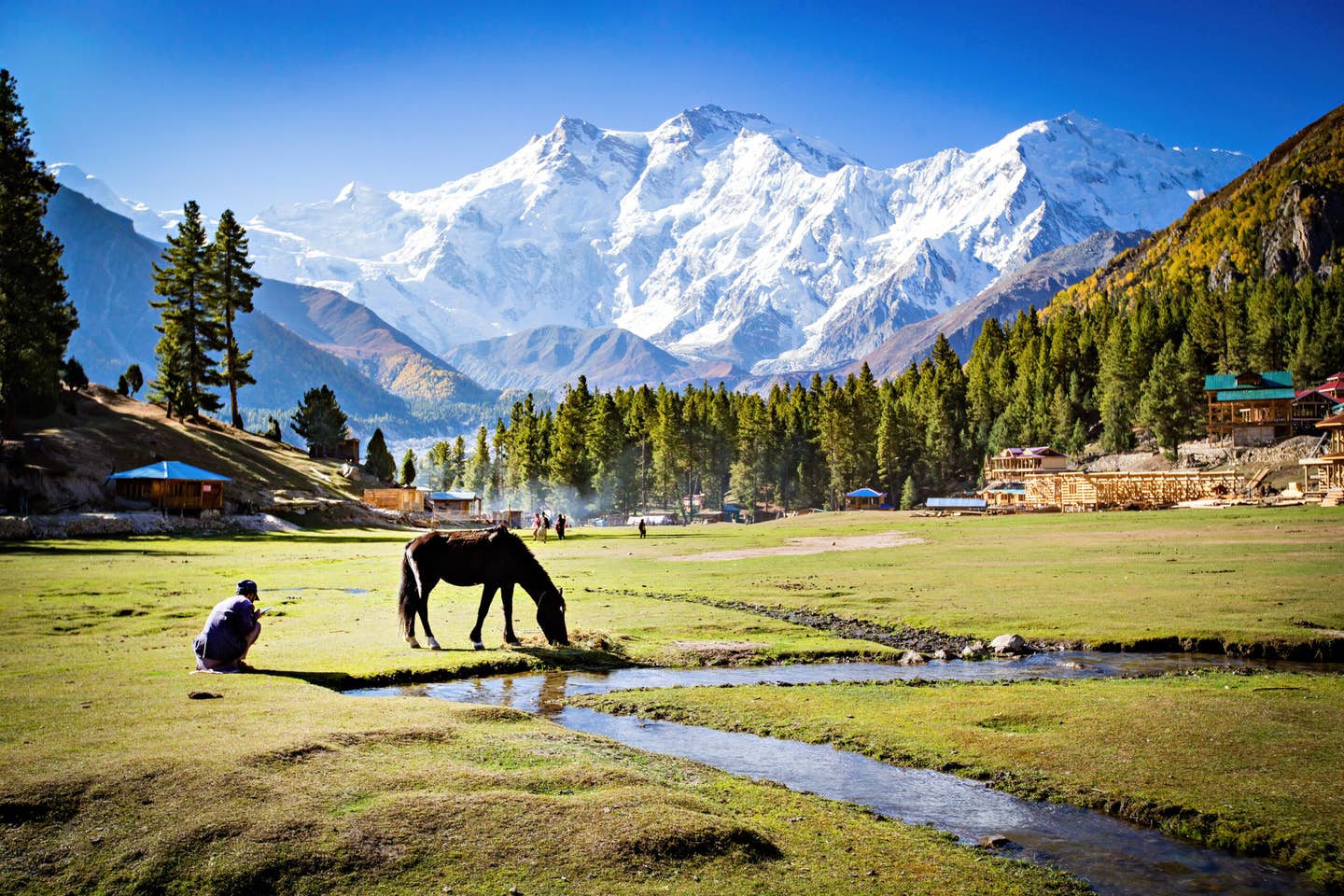
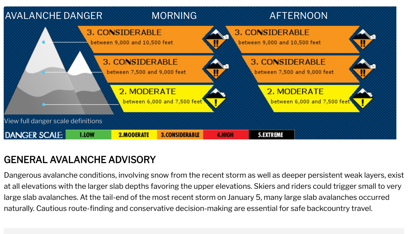
Every morning, before you go out into the mountains, make sure you are checking and understanding the avalanche forecast for the day.
Checking the avalanche forecast every single day you go out and understanding what it means is one of the biggest things that will keep you safe in the mountains this winter. For those of us who don’t get to ski every single day, or those of us lucky enough to travel and ski, you’ll know that it’s pretty much impossible to keep a close eye on what the local snowpack is doing without digging around and poking your head into the snow. Thanks to our nationwide network of local avalanche centers, making decisions and gathering snow data has never been easier. Below is a list of all the avalanche centers in North America. Please consider donating to help support these organizations!
Avalanche.org has a map of all forecasting zones of every avalanche center in the United States.
Covers the Tetons, Togwotee Pass, and mountain ranges just south of Jackson Hole, Wyoming.
Covers the entire state of Colorado.
Covers Central Idaho, including the area surrounding Sun Valley.
Covers the entire state of Utah.
Covers the mountains surrounding Taos, New Mexico.
Covers the northern part of California’s Sierra Nevada range, including Lake Tahoe.
Covers California's Bridgeport Winter Recreation area, just north of Yosemite National Park.
Covers the Eastern portion of the Sierra Nevada range.
Covers the Pacific Northwest, including the Cascade Volcanoes.
Covers New Hampshire’s White Mountains, including Tuckerman’s Ravine.
Covers Southwestern Montana, including the area around Big Sky and Bridger Bowl.
Covers the mountains of Northeastern Oregon, including the Wallowa Range.
Join Our Newsletter
Covers the mountains of Northern Idaho, including Silver Mountain and the Schweitzer area.
Covers the mountains of West Central Montana surrounding the city of Missoula.
Covers the mountains of North Central Arizona surrounding the city of Flagstaff.
Covers Northern California’s Mt. Shasta and the surrounding mountains.
Covers the area of Western Idaho surrounding McCall, Brundage and Tamarack.
Covers the area surrounding Whitefish, Montana and Glacier National Park.
Covers the central Oregon mountains including Mt. Bachelor.
Covers some of the major ranges of Alaska, including the Turnagain Pass and Kenai Peninsula zone, the Haines, Valdez and Cordova areas, the Chugach Range, Hatcher Pass, and the Eastern Alaska Ranges.
Covers the mountains surrounding the city of Juneau.
A nationwide network that covers all of Canada’s main ranges.