Winter Storm Warning: Cascades Prepping for Four-Foot Dump
Popular Stories
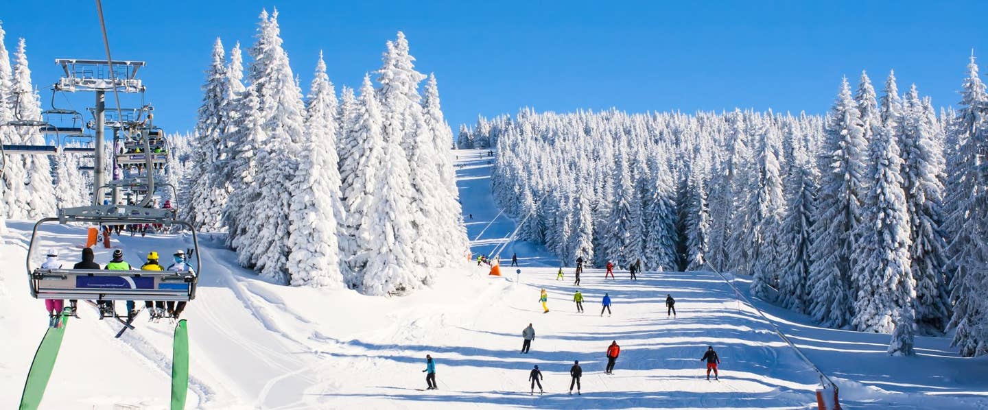

A relentless multi-wave storm cycle is starting to hammer the Pacific Northwest and Northern Rockies, with Winter Storm Warnings active today (Jan 6th) through Thursday afternoon, January 8th. Driven by a potent mid-level shortwave and a series of moisture-heavy cold fronts, this system is significantly lowering freezing levels—potentially dropping as low as 2,000 feet in the Washington Cascades. This shift ensures that even lower-elevation passes are transitioning from early-season rain to high-quality, stackable snow.
Resort Totals & Peak Intensity
The heaviest accumulation is hitting right now, through Wednesday night, with snowfall rates exceeding one inch per hour at times.
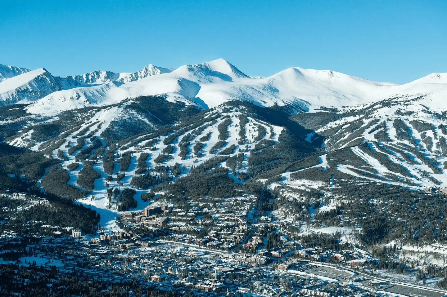
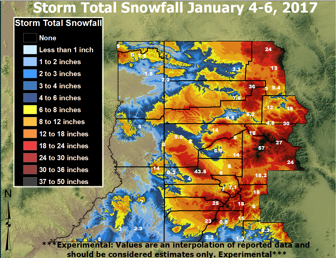
- Mt. Baker & Stevens Pass: Standing as the storm's epicenters, these areas are eyeing totals between 28–48 inches by the time the system clears on Friday.
- Snoqualmie Pass: Forecasted to see a major refresh with a good chance of reaching at least 36 inches by Friday morning.
- Oregon Volcanoes: Timberline is expected to lead the state with 26–39 inches, while Mt. Bachelor targets a solid 14–21 inches.
- Whistler, BC: Forecasted to see upwards of 13-19 inches by Friday afternoon.
- The Northern Rockies: As the moisture tracks east, the Tetons and Wasatch are looking at decent refill after the previous storm, with 8-15 inches projected for the high alpine through Thursday night.
Sign Up for the TGR Gravity Check Newsletter Now
Conditions: The High-Wind Factor
While the quantity is legendary, the quality will be a battle against the elements. Forecasters warn of west winds gusting up to 50 mph, which will likely create whiteout conditions and significant wind-loading on exposed faces. For those heading out, the Northwest Avalanche Center warns that while danger started moderate, the heavy loading and high winds will rapidly increase instability.
These massive PNW cycles are what define winter in the West. It’s the kind of weather that tests your gear and your patience, but the payoff is the deep, "white room" conditions we live for.