Utah, Colorado Could Potentially Score Deep Powder This Week
Popular Stories

 The weather keeps getting weirder: Utah and Colorado could be seeing double-digit days by the end of the week. Weather Bell photo.
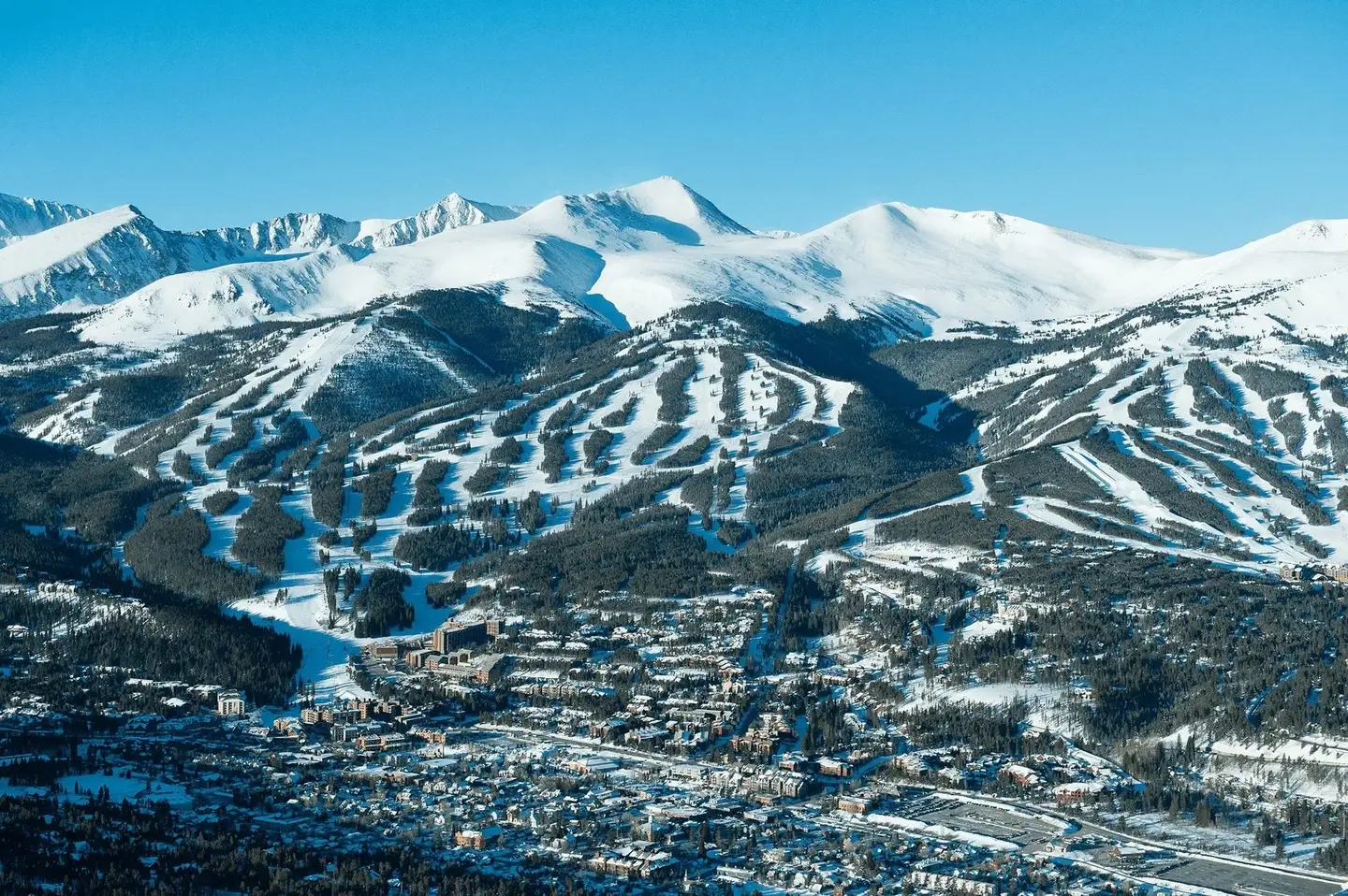
Mother Nature is nothing if not a fickle mistress. And after a pretty suboptimal ski season for most of the Beehive and Centennial State, both Utah and Colorado might be blessed with a rarity by the end of this week: A mid-May pow day.
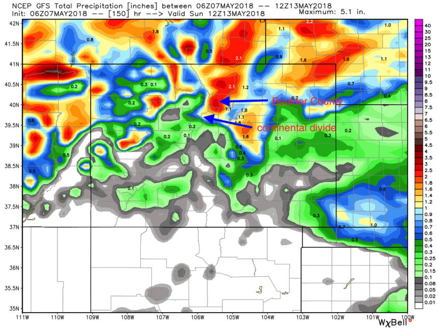
A significant system has consistently been showing up on the models for late this week into the upcoming weekend. That might bring another foot or more snow above 7,500 feet to some mountain locations that are still open for the season in Utah and Colorado. May 3rd brought 5-7 inches to the Wasatch and 15-19 inches to the Continental Divide of Colorado. Snowbird scored 14 inches on the last day of April.
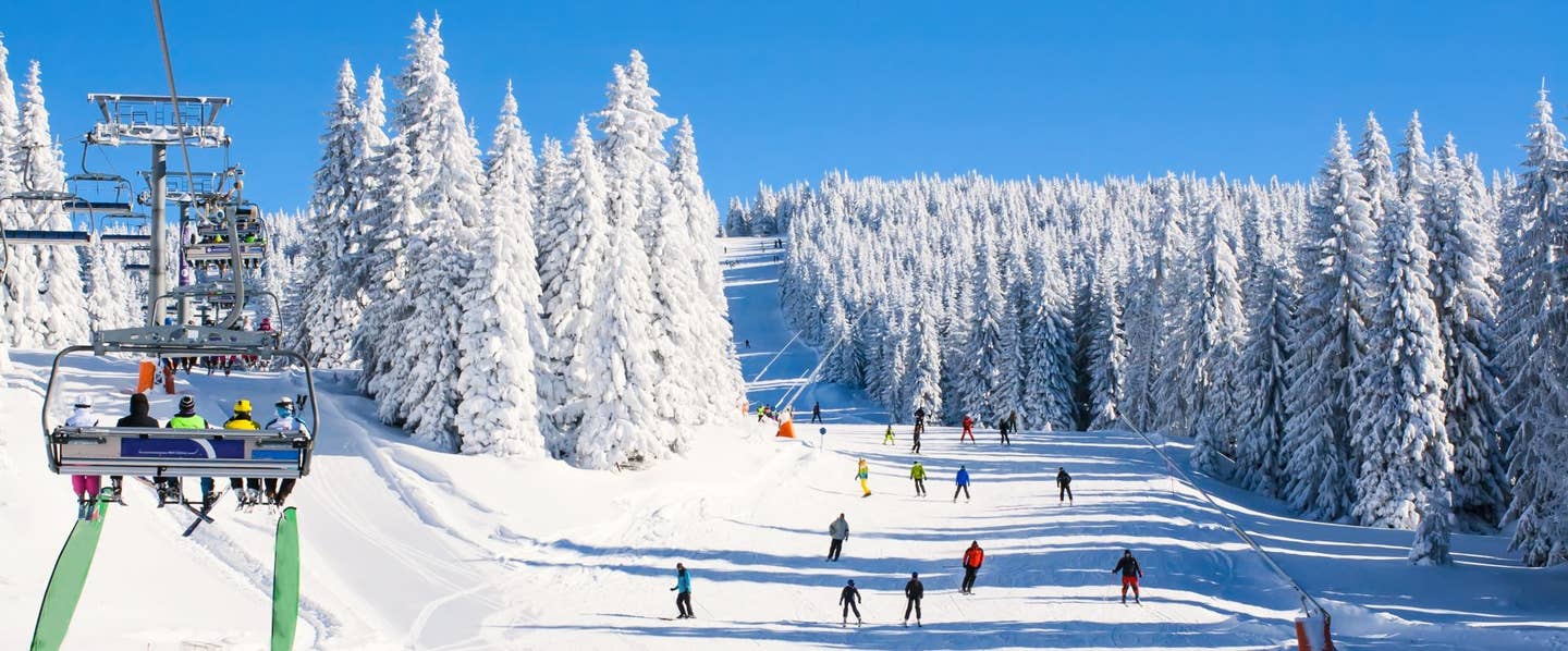
Conditions at Loveland, A Basin, and Winter Park were deep with medium density snow at the summits with last weeks storm. Currently Arapahoe Basin, and Snowbird are still open.
This system will begin to impact the Wasatch and Uinta ranges on Friday. Confidence is decent for snowfall in Utah, especially the Uinta Range. In the Wasatch, where Snowbird is still kicking, models disagree.
The GFS is showing an excess of a foot of snow through Saturday where the Euro is showing much less. Winds on Friday will be westerly–which is favorable for Snowbird–with several shifts through Saturday. Northerly winds Saturday will favor the Uinta range east of Park City and deliver some serious high elevation snow.
North winds may shift most of the moisture outside the Cottonwoods, while Northwest winds are also noted during the period at times. That variability in winds per the GFS models means that Little Cottonwood could score some wet pow for late Friday through Saturday.
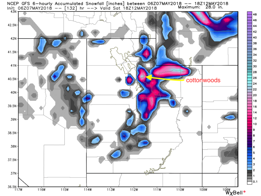
GFS showing significant snowfall for the Cottonwoods through early Saturday. WeatherBell photo.
Significant moisture, mostly in the form of rain will be falling over central and eastern Wyoming late Friday or early Saturday, bringing snow above 8,000 feet). Colorado will begin to see snowfall in the mountains near the Continental Divide Friday night.
Sign Up for the TGR Gravity Check Newsletter Now
Current models look similar to the May 3rd storm for Colorado with a few caveats. Confidence for decent moisture for most of the Front Range of Colorado is high especially on Saturday. Confidence for deep snow west of the Front Range, specifically along I-70 near Loveland and A-Basin is too early to call this far out.
I called for deep snow on the last storm earlier than normal but managed to get in the range originally forecasted, with Loveland scoring more than my original forecast. This storm should deliver 1-2 inches of moisture favoring the Front Range near Boulder or Fort Collins. Models depict a good chance of a foot or more snow by late Saturday in many mountain locations above 8,000 feet.
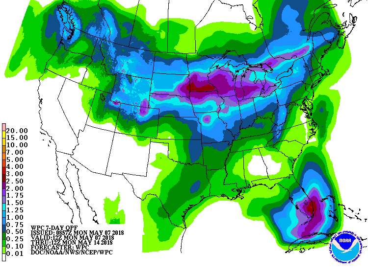 With over two inches of wet precipitation possible in some spots, double-digit pow days could be in order if temperatures cooperate. NOAA photo.
Just when we were finished posting for the season, I had to dig back in for another.
May snowfall is not uncommon, but to score 2 weeks in a row of double digits is definitely a bonus. I'm not saying it's definitely going to happen, but will try to update as we get closer.
This post is via powderchasers.com.