
This Could be the Worst Winter for Utah in Nearly 50 Years
Popular Stories
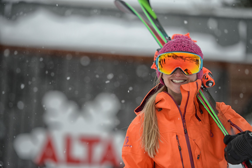 While Alta has fared alright, Utah as a whole is hurting. Lee Cohen/Alta photo.
As a Utah local skiing the Wasatch Mountains for the past 30 years, I can safely testify that this winter has been one of worst in my lifetime. There have been a few double digit storms that have helped to provide decent coverage on upper elevations at certain resorts like Alta and Park City, and Monday brings the prospect of some moderate snowfall, but still this subpar winter had me wondering: Is the 2017-2018 winter on pace to go down as the worst winter on record in the Wasatch?
According to hydrologist Brian Mcinerney at the National Weather Service in Salt Lake, the current snow water equivalent (liquid content in the snow) in the Cottonwoods is at 49 percent of average, where further north towards Logan the snow water equivalent currently sits at 71 percent of average. Early season dumps brought more snow to Beaver Mountain (northern Utah) than the Cottonwoods, primarily in November and early December. In central and southern Utah the snow water equivalent is only 20-30 percent of average. Each additional day without snow will draw these percentages even lower.
“You would need 80-90 inches of snow right now to approach normal," to Mcinerney told TGR. "By the end of February the amount needed to catch up will likely approach well over 120 inches."
The Sierra is experiencing a similar issue with storms being forced north of a blocking high pressure ridge only to slam the Cascades, British Columbia, and then loop south over the back side of the ridge to land decent snow in Montana, Idaho, and Wyoming.
“It’s one of the worst winters on record for Utah” according to Mcinerney, “if not in 50 years.”
1963 and 1976 winters had terrible starts only to play catch up towards the end of the season (1976 finished at 314 inches). I looked at data from the Utah Avalanche Center which has records from the Alta Guard Station since 1944. The Winter of 76-77 had just 81 inches at the end of January compared to 148 inches at Alta this season. Previous to 1944, data on snowfall was collected manually by melting snow in tubes that goes back to the early 1920s, and the availability of that data is limited. Automated snow tel data began in 1984, available on the Utah Avalanche Center Homepage.
If you look at the record books 2017-2018 might not not be as bad as some others, however in a few weeks those statistics may go by the wayside if Utah does not nab a deep dump soon. There may be a glimmer of hope at the end of the tunnel as models are showing some light or moderate snow possible in Utah mid this week and again late week. The long term weather models are a bit more optimistic for the end of the month.
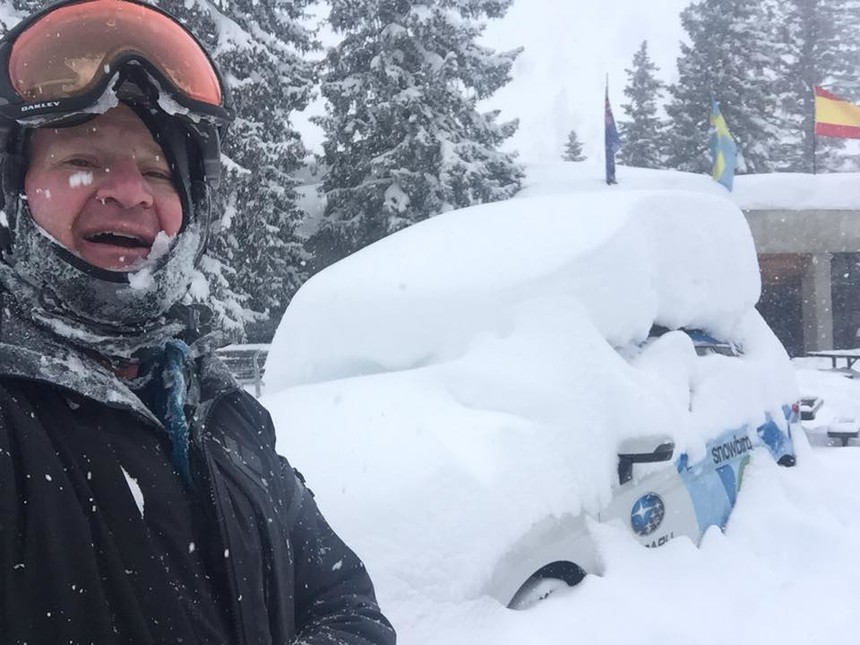 Powderchaser Steve in his natural habitat after an all-time dumping last year at snowbird. Powderchaser Steve photo.
Currently the weather models show some moderate snow coming through midweek (higher elevations of Utah just nabbed 3-7 inches last weekend), followed by another storm this weekend. The weather models show a a decent chance of additional systems moving into the west later this month. Unfortunately, this year has been plagued with deep model runs for Utah, only to see them fizzle 24 hours before a storm. My confidence is increasing for a moderate storm for the end of the upcoming week. The weather models also show a decent chance of a welcoming pattern change by the third week of February.
But that doesn't mean the Beehive State is anywhere close to normal: According to the National Weather Service in Salt Lake “There is less than a 10 percent chance of catching up” to normal this season.
According to Mcinerney, the reason for so many near-misses with storms this season may relate to a, “Weakened polar jet stream due to the Polar Arctic warming at a faster rate than the Equator. This elongates the jet stream and pushes moisture north into the Hudson Bay (Alaska) and over the top of the ridge to land over the northern Rockies, Midwest and East Coast. It’s technically called a quasi stationary high amplitude atmospheric wave pattern.”
Sign Up for the TGR Gravity Check Newsletter Now
THE REST OF THE WEST
Northern and central Colorado have had leftovers that have kept snow conditions respectable, especially along I-70 and north. Keystone scored 18 inches last Tuesday! Most mountains in Colorado scored 6-12 inches on Saturday, with Utah getting in the action with 4-7 inches in the Upper Cottonwoods. Southern Colorado has been skunked the hardest this season with northern New Mexico completely out of the loop. In fact, looking at snow totals at Sugar Mountain North Carolina, 46 inches of snow has fallen there this season, which is double the amount of many resorts in Northern New Mexico that regularly average 275-325 inches. Who would have thought.
There is some good news as heavy snow just fell over the northern San Juans (Telluride saw more than 10 inches) and more is on the way for this week. Latest models show a decent storm for the southern San Juans from Silverton/Purgatory and especially Wolf Creek late Monday night into Tuesday. They really need to nail a dump right now!
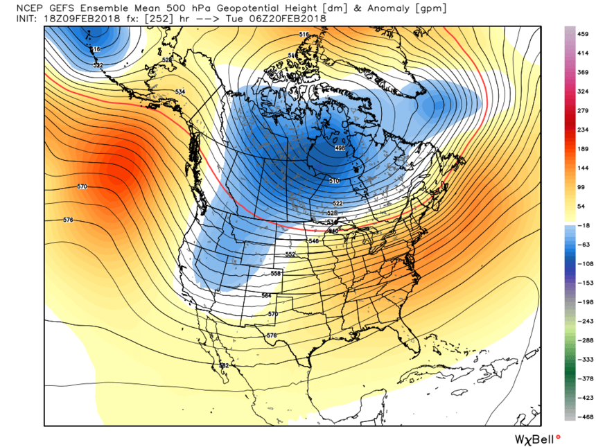 The aforementioned blocking ridge looks like it might break down by the third week in February. Weather Bell photo.
This season has been described as a wave of moisture pushing north and looping back south saying ‘Screw you skiers in the Sierra and southern Rockies. Unseasonably warm temperatures that have created significantly less snow on the lower elevations than the summits at many areas of the northern Rockies.
If there is any good news here, it is that many mountains in Utah got salvaged with a storm just prior to Christmas and again a few weeks ago bringing decent conditions to most of the upper elevations of Park City and areas north towards Powder Mountain and Snowbasin. The Cottonwoods have done better at higher elevations, especially Alta early season where they managed to open up a good amount of terrain as previously mentioned.
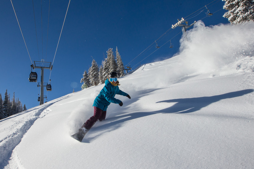 Parts of Colorado finally saw snow this past week with Aspen catching over a foot on Sunday. Aspen Snowmass photo.
Looking optimistically, we know it’s going to snow again! On the pessimistic side, when I asked the hydrologists from NOAA in Salt Lake about the future of skiing, the response is, “by 2035-2065 we may see 50 percent less snow cover in the west and by 2100 we may be seeing all rain.”
Lets hope the end of February, March, and April slam the Sierra, Wasatch and central Rockies. I like to think optimistically, but my gut tells me it’s a stretch. I am confident that something good might happen in Utah this week.
