
Significant Snowfall Possible This Week in the Rockies
Popular Stories
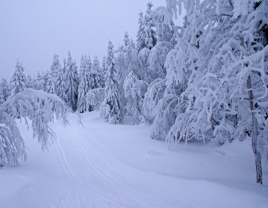 Wikimedia Commons photo.
If you’re a skier or snowboarder in the Central or Southern Rockies, we’re pleased to be the bearer of excellent news: Snow is coming. The National Weather Service’s most recent Short Range Forecast Discussion calls for 1 to 2 feet of snow at high elevations in Colorado and New Mexico starting late Tuesday, and a “significant snow event” developing in far western Wyoming mid-week.
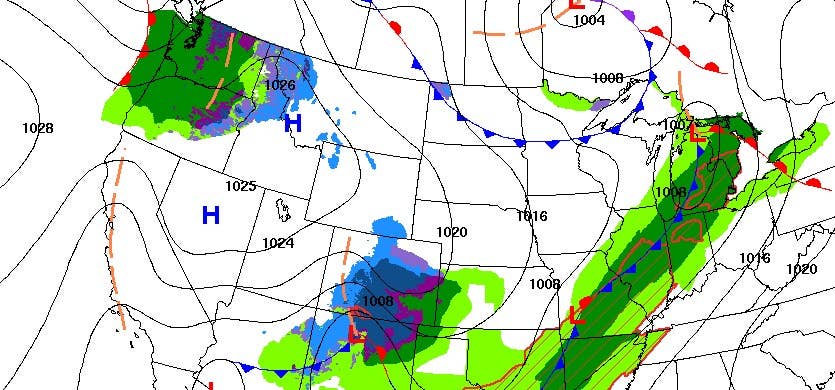
All this precipitation is due to two large systems moving SE off the North Pacific. These two graphics show the first system slamming into the Central and Southern Rockies Tuesday night into Wednesday morning:
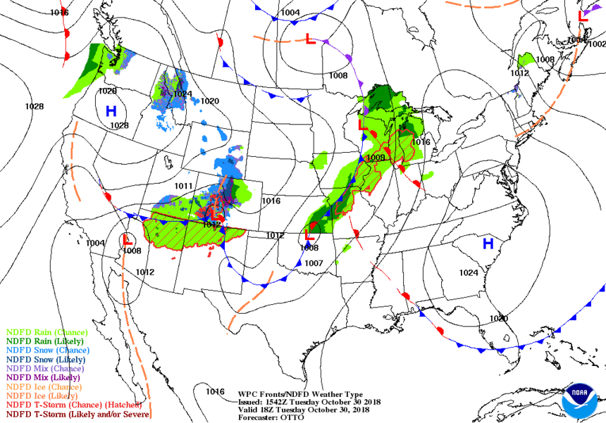 The first system is over the Central Rockies as the second begins to impact the PNW. NOAA Graphic.
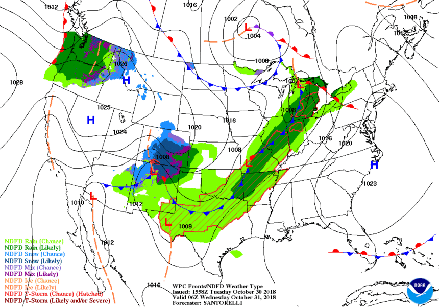 Precipitation continues over the Central and Southern Rockies as the second system hits northern Idaho/Montana. NOAA Graphic.
Join Our Newsletter
As the first system continues moving SE throughout Wednesday and Thursday, a second crosses the Pacific Northwest and hits the Northern and North-Central Rockies.
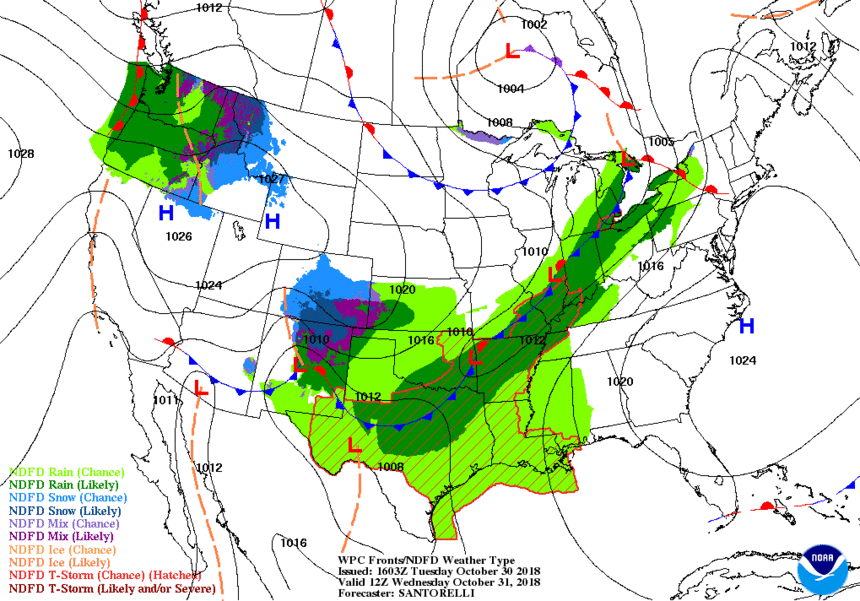 The first system begins to exit the Rockies as the second moves SE towards the Tetons. NOAA Graphic.
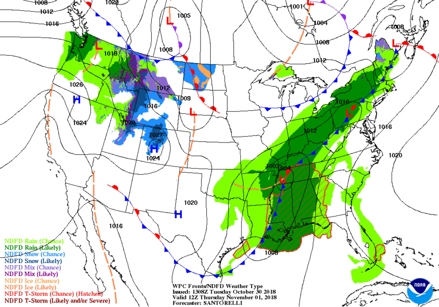 The second system continues to drop snow all throughout the Northern and Central Rockies. NOAA Graphic.
If NOAA is correct, the Rockies could see some significant snow accumulation throughout the week, bolstering early-season snowpacks, but potentially leading to the development of the weak layers associated with high avalanche danger.
