Popular Stories


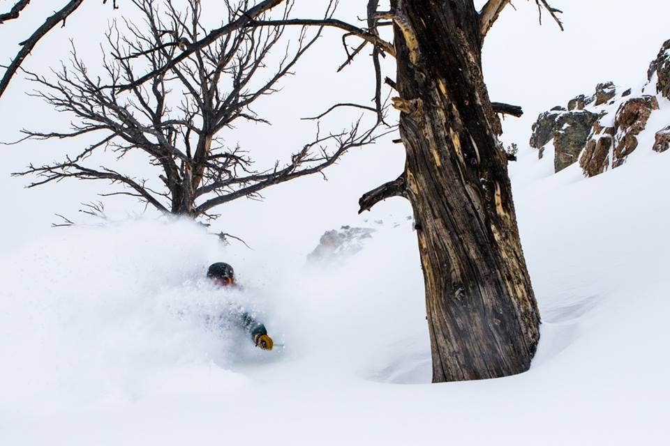
 Getting pitted in pow town. Jackson Hole Mountain photo.
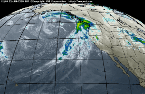
Moisture is returning to the West late this week as well as the Mid-Atlantic Cities on the East Coast. The past week has earned high rewards in the Cascades, Tetons, Wasatch and areas of Colorado. 18-24 inches are expected in the Sierra Friday-Saturday which heads towards the Rockies Saturday night/Sunday. The East might get grazed with some snow from a Nor Easter that tracks along the coast but unfortunately keeps interior New England out of the spotlight. High Pressure takes hold on the West next week.
HIGHLIGHTS FROM LAST WEEK!
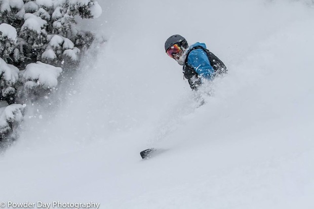 The goods were...good at Grand Targhee Resort. Grand Targhee/PowderDay photo.
Alta and Snowbird - 35 inches in 5 days
Jackson Hole Mountain Resort - 37 inches in 5 days (Higher amounts at the summit)
Grand Targhee- 40 PLUS (Had a single 20 inch dump last week)
Vail- Nabbed an overnight deep dump of 17 inches of Blower last weekend
Sugar Bowl - 32 inches in 2 days
Crystal Mountain - 47 inches in 7 days
The Weekend
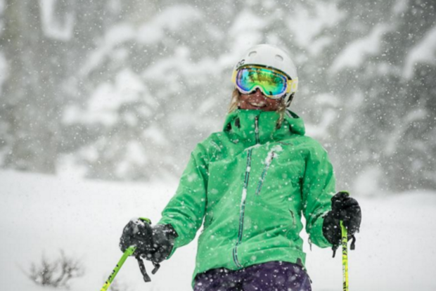 Hopefully more smiles like this at Squaw. Squaw Valley/Alpine Meadows photo.
The week ahead will feature significant moisture for the Cascades with a warming trend (Rain at the bases-mid mountain). 1-2 feet of wet snow is possible at the highest summits.
The Sierra grabs 5-9 inches Friday night which turns heavy Saturday under much colder temperatures (12-18 inches of blower pow by Sunday morning). The leftovers move into the Rockies late Saturday-Sunday
Cascades
The Cascades just nabbed several days of good density Powder! The tides are turning as warmer air infiltrates the Western Cascades this week bringing significant rainfall to the bases and high elevation wet snow. The Eastern Cascades will fare better with colder temperatures. You may find some dense snow at the top of Whistler as well as Crystal who benefit from higher elevations. On Friday, temperatures cool bringing some light to moderate snow to all regions of the Cascades through Saturday. Bases in the Cascades are mega deep right now so the rainfall will not impact overall depth. Conditions improve into the weekend.
Join Our Newsletter
Sierra
1-2 feet just fell over the Sierra! More snow moves back in Friday primarily above 7,000 feet (5-9 inches). Saturday delivers a sharp cold front and ample moisture that gets hung up in the Sierra through Sunday morning. Expect 11-18 inches of cold smoke powder by Sunday morning (Last chair Saturday will be epic as well as first chair Sunday).
Rockies
Several moderate systems have brought weekly totals to 3-4 feet in many areas of the northern Rockies (Wyoming and Utah had the highest amounts). Low pressure from the Sierra moves into Idaho early Saturday and into southern Montana, Tetons and Wasatch late in the day. Expect moderate snowfall through the period before high pressure takes hold early next week.
Colorado nabs moderate to possible heavy snow early Sunday into Monday. The low tracks over central Colorado which could provide some freshness from I-70 down to the 4 corners.
East Coast
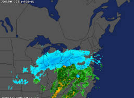
Finally something to talk about? If you are really starved for powder you will have to chase to the Mid Atlantic (Consider West Solitude Ski Resort) 1-2 feet of snow will be falling in the city of Baltimore. Cross country skiing in the city might offer better conditions than the current state of affairs in northern New England.
Stay tuned to updates from Powderchasers.com. We not only provide forecasts but chase powder! Our team just logged over 40 inches last week (Utah and Wyoming chases). This week offers plenty of options. You can find us on Facebook, Instagram, and at www.powderchasers.com
Forecaster: Powderchaser Steve