2-3 FEET LIKELY IN MANY AREAS WEDNESDAY-SATURDAY
Popular Stories


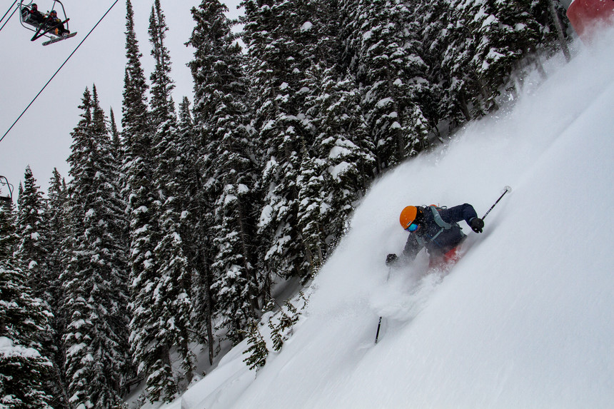
Griffin Post gets pitted at Jackson Hole Mountain Resort. Jackson Hole Mountain Resort photo.
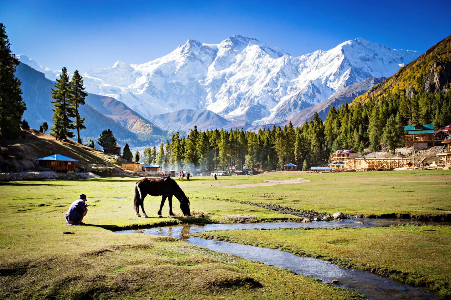
Significant storm system is going to land over the Sierra, northern California-Southern Oregon, central and southern Idaho, Tetons, southern Montana mid week and eventually spread into the Wasatch of Utah and most of Colorado late this week including the 4 corners into New Mexico.
The Week Ahead
I am going to summarize resorts in one section here and have more details as we get closer to the events. Models are likely to change somewhat but our confidence is high for very deep snow in many areas of the West. Light to moderate snow is falling tonight and Tuesday in the northern Sierra and Tetons.
Moisture deepens Wednesday in northern California and southern Oregon (Bachelor). Some spots may see 11-15 inches of snowfall by Thursday morning. Moisture also spreads over Southern and Central Idaho under southerly flow (Sun Valley and Brundage could see 12-15 inches or more) early Wednesday and in the Tetons Wed PM. Heavy snow will crank in the Tetons Wednesday night and Thursday (12-24 inches likely through Friday). Significant accumulations will be taking place this week starting out warm and ending cold (Tetons).
The Sierra (Tahoe basin)
The Sierra finally gets into the action Thursday night and Friday. Heavy moisture will be falling above 8500 early in the storm cycle before snow levels crash with a strong cold front Friday morning (Base level snow). My early guess is 12-17 inches are likely over much of the Sierra including southern areas to Mammoth by late Friday. Higher amounts are likely above 9,000 feet! Base areas could see a mix of rain early in the storm cycle turning to all snow by late in the week with colder air.
Join Our Newsletter
Rockies
Deep snow continues in the Tetons, Central Idaho, and perhaps Southern Montana (Wildcard) late this week as a cold front finally reaches Wyoming late Thursday or Friday AM. That cold front will drop over the Wasatch of Utah by daybreak Friday enhancing snowfall in all areas of northern Utah (12 plus).
Colorado
Colorado grabs teaser snowfall Thursday (3-7 inches possible north of I-70). Snowfall intensifies late Friday/Saturday with cold air and epic events likely for many spots from Aspen through the San Juan’s. “It’s possible that areas that saw little snow on the last storm get completely dumped on this weekend.” I see early estimates of 6-10 inches for most of the northern mountains including I-70. It’s very possible that spots near Aspen and Crested Butte will see higher amounts (10-16). It’s likely that the 4 corners get 12-20 inches (Wolf Creek) or more! Arizona resorts as well as New Mexico are solid players here. We are putting Taos ski area well into play (9-14 inches) this weekend.
THE CHASE:
A more detailed forecast will follow as details emerge. Epic Watches are the time to start planning chases. Chases likely will include Sun Valley, Brundage, Bachelor, Jackson Hole, Grand Targhee mid- week. Late week will feature spots in the Sierra, Wasatch or continuing snow for the Tetons. The Weekend may include central or southern Colorado (Thursday teaser up north but heavy snow all areas this weekend). New Mexico may end our chase pick by Sunday. It's hard to nail down 5 days out but confidence is high in significant dumps in many areas.