
POWDER ALERT-SIERRA 30-50 INCHES LIKELY THIS WEEK

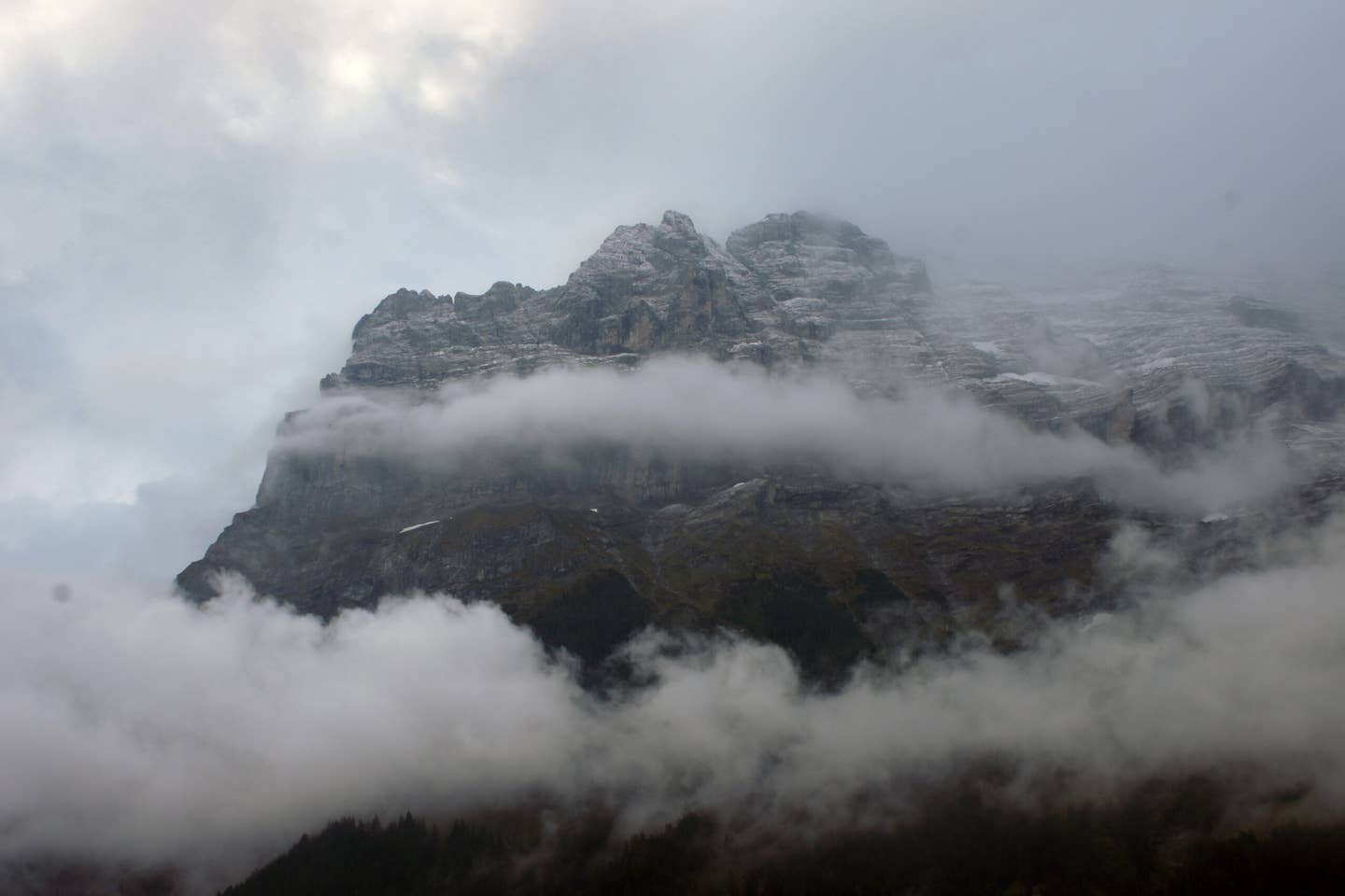


 Thursday morning low is pushing south into the Sierra and western Rockies. WX Bell Image.
OVERVIEW
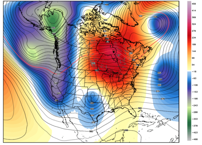
Confidence is high for 30-50 inches in the Sierra this week (Spread over 3 cold storms) that will move East over the central and southern Rockies in the extended forecast. This could set up the perfect storm pattern for California after digging out from 10 feet of snow last week. The Pacific Northwest and Whistler will grab significant snow early this week with a warming trend with mixed precipitation midweek that migrates to all snow late.
CURRENT REPORT
A very moist system focused on New Mexico and southern Colorado over the past few days bringing highlights to Santa Fe Ski area with up to 15-17 inches being reported in 48 hours. Taos grabbed the short stick at 5 inches with a lack of northerly flow (NW is ideal for snowfall there). I was chasing to Santa Fe on Sunday but pulled the plug at the last minute being a bit late in the game and headed back to Boulder. South easterly winds really cranked snowfall amounts over a good portion of south central New Mexico on Sunday for those that got the “Freshies.”
Sign Up For Our Newsletter
SHORT TERM FORECAST
The next series of storms will push into the Cascades and BC late Monday/Tuesday with a quick shot of heavy snowfall (6-12). Rising snow levels above all bases will exist late Tuesday/Wednesday in the PNW with additional snow at upper elevations and rain low to mid elevations. Whistler may earn 1-2 feet at the summit by Thursday (Strong winds). Chases may be worth it at Whistler at upper summits if they open with strong winds expected mid week. The Cascades could chase well especially towards Mount Baker on Tuesday morning (snow levels at the base or slightly higher) with heavy snow falling at upper elevations. Warming will begin mid Tuesday and continue into Wednesday. The Panhandle of Idaho does well at upper elevations (6-10) late Tuesday night into Wednesday (Mixed precipitation at the bases with wet snow at the summits).
The Sierra looks like an ideal set up of 3 storm systems all bringing cold air (May start as mixed precipitation between events) and a solid 9-12 inches Wednesday night into Thursday AM – Thursday PM/Friday Am, and again Sunday/Monday. Each system looks progressively stronger and may linger with snow showers between them so don’t expect much bluebird this week. Snow levels will rise and fall with the incoming events. “I think it will be a pretty even spread between Tahoe resorts and Mono County (Mammoth) initially this week with more likely in the south towards the weekend.” “Expect total snowfall this week to be in the 30-50 inch range (7 days).
Models for the Rockies are still a bit too far out to narrow in amounts. I am bullish for central and southern Idaho Wednesday night/Thursday (Sun Valley 7-9) with higher amounts towards Boise or further west (6-12). The Wasatch will pull moderate amounts on Thursday with a cold front (6 inches plus) with moisture spilling into most of western Colorado late Thursday night and Friday (Too early to speculate on amounts with widespread light or moderate snowfall likely in many areas).