
Late Season POW: 6-12 Inches Expected In Colorado
Popular Stories


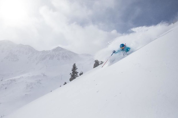 You might need a snorkel this week at A-Bain. Arapahoe Basin photo.
Unseasonably cold air will usher into Colorado today bringing significant snow above 10,000 feet through Wednesday morning. The front range mountains from I-70 outside of Denver and South will be favored. Areas south of Denver may see the highest amounts This includes mountain ranges along the Eastern flanks of I-25 including Chaffee County.
A-Basin should do well from 11AM this morning through tonight with highest intensity late today. Models are pumping out 6-12 inches through mid day Tuesday (Some falls late today and another round of 4-6 inches tonight). Light snow continues into Tuesday.
Winds shift on Tuesday/Wednesday with an increase of snowfall over the San Juan mountains. “Areas in the 4 Corners of Colorado above 10,000 feet may pick up significant snow through Wednesday morning.” This includes Durango, Wolf Creek and perhaps Telluride (above 9-10,000 feet).
Sign Up for the TGR Gravity Check Newsletter Now
Snowfall is not uncommon in the Rockies during May. This storm will linger into Wednesday over Colorado (4 corners favored later in the period). ”Unsettled conditions with plenty of moisture are likely over Montana, Idaho, Utah and the Wyoming during the mid to late week period.”
We really enjoyed your support and hope that everyone had some powder dreams come true. Next Winter could bring us La Nina that might be another excuse to formulate some hype!