
Fascinating, I love stuff like this...
http://www.theeventchronicle.com/stu...of-the-planet/
Why The Map Is So Compelling
Right off the bat, one of the most compelling facts about the map is that it includes a continent that our history books tell us was not discovered until 1818.
Secondly, the map depicts what is known as “Queen Maud Land,” a 2.7 million-square-kilometer (1 million sq mi) region of Antarctica as it looked millions of years ago. This region and other regions shown on the map are thought to have been covered completely in ice, but the map tells a different story. It shows this area as ice free, which suggests that these areas passed through a long ice-free period which might not have come to an end until approximately six thousand years ago, which again, totally goes against what is taught and currently believed. Today, geological evidence has confirmed that this area could not have been ice-free until about 4000 BC.
Official science has been saying all along that the ice-cap which covers the Antarctic is millions of years old. The Piri Reis map shows that the northern part of that continent has been mapped before the ice did cover it. This means that it was mapped a million years ago, but that’s impossible, since mankind did not exist at that time. Quite the conundrum isn’t it?
Professor Charles Hapgood, who was a university history professor, wrote to the United States Air Force Reconnaissance Technical Squadron (SAC) and they also confirmed that“this indicates the coastline had been mapped before it was covered by the ice-cap.” (1) They also went on to state that “we have no idea how the data on this map can be reconciled with the supposed state of geographical knowledge in 1513.” (1) (The reply was from Harold Z. Ohlmeyer, a Lt Colonel, USAF)
Here’s what Professor Charles Hapgood had to say about it:
“It appears that accurate information has been passed down from people to people. It appears that the charts must have originated with a people unknown and they were passed on, perhaps by the Minoans and the Phoenicians, who were, for a thousand years and more, the greatest sailors of the ancient world. We have evidence that they were collected and studied in the great library of Alexandria (Egypt) and that compilations of them were made by the geographers that worked there.” (1)
Furthermore, the map is very detailed and includes mountain ranges in the Antarctic. which were not even discovered until 1952.
Results 1 to 25 of 45
-
04-15-2015, 10:31 PM #1
 Registered User
- Join Date
- Oct 2003
- Location
- Tahoe
- Posts
- 2,730
500 Year Old Map Discovered That Shatters The “Official” History Of The Planet
"The mind, once expanded to the dimensions of larger ideas, never returns to its original size."
-
04-15-2015, 10:48 PM #2

 is training for Alpental
- Join Date
- Jan 2008
- Location
- Big Sky/Moonlight Basin
- Posts
- 15,385
^^^ wiki says bullshit ^^^
http://en.m.wikipedia.org/wiki/Piri_Reis_map"Zee damn fat skis are ruining zee piste !" -Oscar Schevlin
"Hike up your skirt and grow a dick you fucking crybaby" -what Bunion said to Harry at the top of The Headwaters
-
04-15-2015, 10:50 PM #3
 Registered User
- Join Date
- May 2008
- Location
- 37ft above the hood
- Posts
- 16,575
500 Year Old Map Discovered That Shatters The “Official” History Of The Planet
Dope
Ancient aliens bros on this in 2012 tho so not new
Zone Controller
"He wants to be a pro, bro, not some schmuck." - Hugh Conway
"DigitalDeath would kick my ass. He has the reach of a polar bear." - Crass3000
-
04-16-2015, 01:53 AM #4
 Old Man and the Ski
- Join Date
- Apr 2007
- Location
- Tahoe
- Posts
- 16,321
Can't wait for the right wingnuts to jump on the bandwagon saying the map disproves global warming.
powdork.com - new and improved, with 20% more dork.
-
04-16-2015, 08:51 AM #5
 Don't Panic
- Join Date
- Jun 2006
- Location
- Ventura Highway in the Sunshine
- Posts
- 22,445
Yep, complete BS, just look at the only two sources cited.
This is why citation is important and why pussies like Mott and Jon Gaper need to cite their stupid source. It saves a lot of time ridiculing them.
I agree it is a constitutional right for Americans to be assholes...its just too bad that so many take the opportunity...iscariot
-
04-16-2015, 09:08 AM #6
 No I'm not an Australian
- Join Date
- Dec 2003
- Location
- Seattle
- Posts
- 33,923
But.... it's on the internet. It must be true. Originally Posted by hutash
 Originally Posted by Downbound Train
-
04-16-2015, 09:21 AM #7
Registered User
- Join Date
- May 2008
- Location
- 37ft above the hood
- Posts
- 16,575
there are ancient maps that do outline thought to be undiscovered places
Zone Controller
"He wants to be a pro, bro, not some schmuck." - Hugh Conway
"DigitalDeath would kick my ass. He has the reach of a polar bear." - Crass3000
-
04-16-2015, 09:35 AM #8
Don't Panic
- Join Date
- Jun 2006
- Location
- Ventura Highway in the Sunshine
- Posts
- 22,445
My bad Originally Posted by PNWbrit

I agree it is a constitutional right for Americans to be assholes...its just too bad that so many take the opportunity...iscariot
-
04-16-2015, 09:36 AM #9
 snowboardeur
- Join Date
- Jun 2014
- Location
- Montreal, Canada
- Posts
- 1,931
^^ like middle earth
27° 18°
-
04-16-2015, 09:39 AM #10
 Paramarker
- Join Date
- Sep 2008
- Location
- a poop plant
- Posts
- 3,386
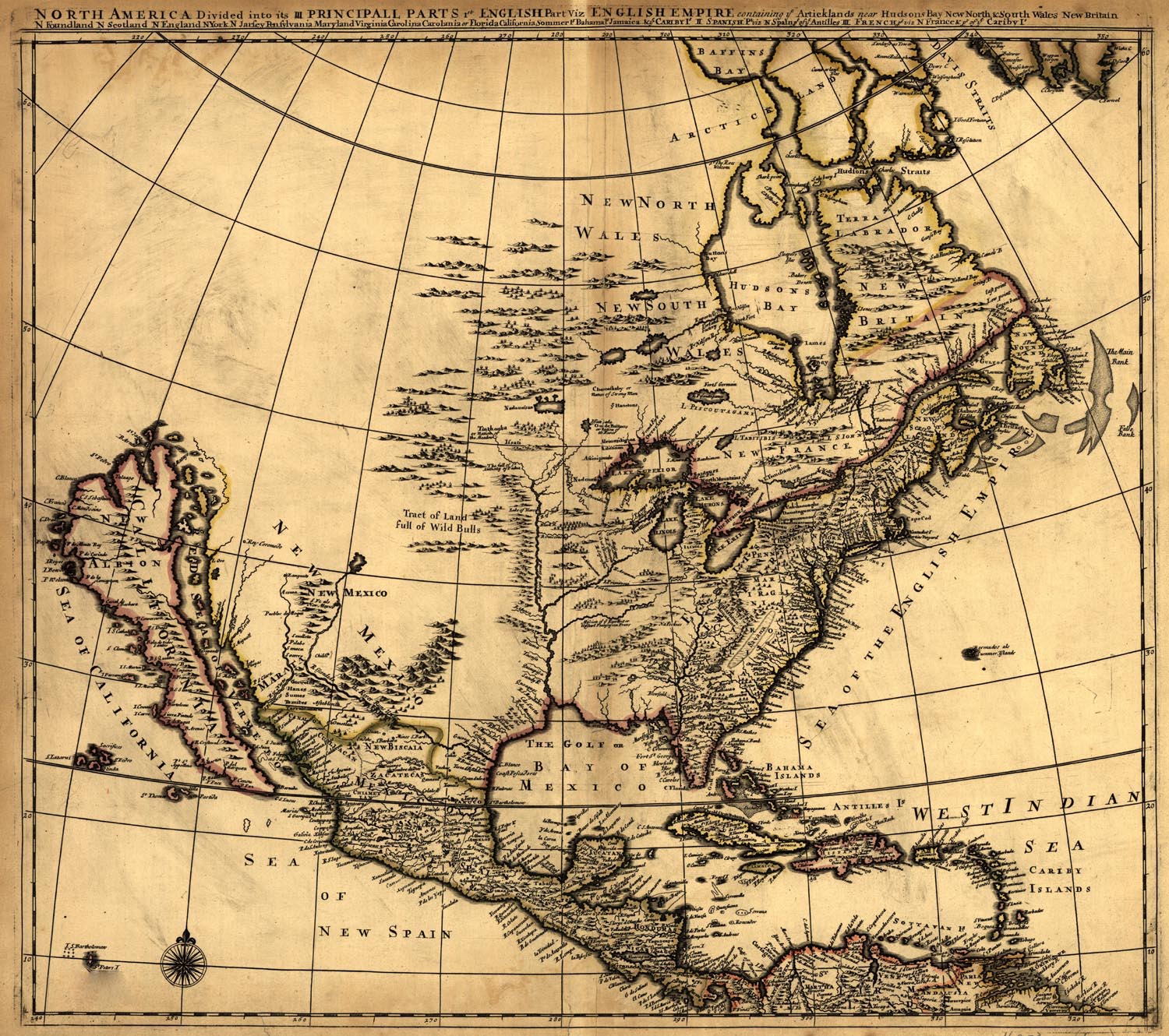
Check out this old map I found! Apparently in the 1600's, the western US was totally different. Man, those geologist at dumb fucks!
-
04-16-2015, 09:42 AM #11
Don't Panic
- Join Date
- Jun 2006
- Location
- Ventura Highway in the Sunshine
- Posts
- 22,445
Yep, and they are wildly inaccurate and at best were wild guesses. Ptolemy speculated there was a massive southern continent to balance out the much greater land mass of the northern continents. It was pure speculation, and he was slightly right, but was just a guess. Cartographers just randomly drew in such continents, hence the one on the map in question and why it is so inaccurate both in position and climate. Originally Posted by digitaldeath
Of course, the logical explanation is ancient astronauts, so that is were I would put my money.
I agree it is a constitutional right for Americans to be assholes...its just too bad that so many take the opportunity...iscariot
-
04-16-2015, 09:45 AM #12
Don't Panic
- Join Date
- Jun 2006
- Location
- Ventura Highway in the Sunshine
- Posts
- 22,445
What is really amazing is how accurate they were with the limited tools on hand, or lack there of. Latitude was fairly easy even back then, but longitude was a real bitch into the early 1800s. Originally Posted by GiBo
I agree it is a constitutional right for Americans to be assholes...its just too bad that so many take the opportunity...iscariot
-
04-16-2015, 09:54 AM #13
 Registered User
- Join Date
- Jan 2006
- Location
- Teton Village
- Posts
- 2,671
Next time you can't sleep this is a good one to view: Originally Posted by hutash
History of Navigation at Sea https://youtu.be/8zyA4qQ7EvI (PBS, Nova, 53 minutes)
I know an old guy here in town that's super into watches, clocks and time. It's great to hear him talk about how accurate clocks changed navagation.Ski Shop - Basement of the Hostel
Do not tell fish stories where the people know you; but particularly, don't tell them where they know the fish.
Mark Twain
-
04-16-2015, 09:56 AM #14
No I'm not an Australian
- Join Date
- Dec 2003
- Location
- Seattle
- Posts
- 33,923
In case you haven't read this ....http://www.amazon.com/Longitude-Geni.../dp/080271529X
Originally Posted by Downbound Train
-
04-16-2015, 10:11 AM #15
 Registered User
- Join Date
- Dec 2012
- Posts
- 17,747
Gray(grey) whales don't need no stinkin' maps.
http://www.livescience.com/50487-wes...migration.html"timberridge is terminally vapid" -- a fortune cookie in Yueyang
-
04-16-2015, 10:15 AM #16
Don't Panic
- Join Date
- Jun 2006
- Location
- Ventura Highway in the Sunshine
- Posts
- 22,445
You beat me to it...that is a great nerd book. Originally Posted by PNWbrit
Another you might be interested in being a Limey and all...http://www.amazon.com/The-Map-That-C.../dp/0061767905
I agree it is a constitutional right for Americans to be assholes...its just too bad that so many take the opportunity...iscariot
-
04-16-2015, 10:20 AM #17
Don't Panic
- Join Date
- Jun 2006
- Location
- Ventura Highway in the Sunshine
- Posts
- 22,445
Thanks, that looks interesting and I will watch it when I have some time. Originally Posted by skiing-in-jackson
There is a good book I just happened across in our local library, but I can't remember the name, but fits right in. It is about some white dude who moves to some small south sea island and learns blue water navigation for the old men of the island. He explains how they navigated surprisingly long open passages very accurately by watching sea turtles, algae types, water color, winds, et cetera. Some really crazy stuff, all handed down orally for generations, and of course rapidly being lost due to apathy and technology. If it rings a bell with anybody, I would love to know the title and reread it.
I agree it is a constitutional right for Americans to be assholes...its just too bad that so many take the opportunity...iscariot
-
04-16-2015, 10:30 AM #18
What can brown do for u?
- Join Date
- Jun 2006
- Location
- New Zealand
- Posts
- 1,495
A must-read for all map nerds (like me): A History of the World in 12 Maps
-
04-16-2015, 10:32 AM #19
Paramarker
- Join Date
- Sep 2008
- Location
- a poop plant
- Posts
- 3,386
This was required reading in our Geography program.

I made maps for 15 years. It amazes me that people look at maps as gospel- "But it says here on the map!"
-
04-16-2015, 10:38 AM #20
Good-lookin' wool
- Join Date
- Oct 2005
- Posts
- 11,805
If I have another kid I'm naming it H.J. de Blij.
-
04-16-2015, 10:53 AM #21
 Registered User
- Join Date
- Oct 2003
- Location
- slc
- Posts
- 19,060
I think you guys are rushing to judgment here. Everything else on that site seems perfectly legit.
-
04-16-2015, 11:02 AM #22
 invested in pnw futures
- Join Date
- Jan 2011
- Location
- E >>> W
- Posts
- 3,653
That map was a big part of latest James Rollins book -
http://www.amazon.com/6th-Extinction...sap_bc?ie=UTF8Climb the mountains and get their good tidings. Natures peace will flow into you as sunshine flows into trees. The winds will blow their own freshness into you, and the storms their energy, while cares will drop away from you like the leaves of Autumn. - John Muir
"How long can it last? For fuck sake this isn't heroin -
suck it up princess" - XXX on getting off mj
“This is infinity here,” he said. “It could be infinity. We don’t really don’t know. But it could be. It has to be something — but it could be infinity, right?” - Trump, on the vastness of space, man
-
04-16-2015, 11:03 AM #23
 Registered Lurker
- Join Date
- Oct 2006
- Location
- Bellevue
- Posts
- 7,544
Not H.J de Biij ? Originally Posted by commonlaw
-
04-16-2015, 11:19 AM #24
 pwdr_pwnr
- Join Date
- Sep 2001
- Location
- T.ride
- Posts
- 1,836
Could possibly be this book 'the natural navigator' Originally Posted by hutash
http://www.amazon.com/gp/aw/d/161519...H7L&ref=plSrch
A must read for anyone who spends any time outdoors...tricks deserve applause, style deserves respect
-
04-16-2015, 11:26 AM #25
 Cat. Tastes like chicken
- Join Date
- Aug 2007
- Location
- Bottom feeding
- Posts
- 11,646
Tract of Land full of Wild Bulls
Well maybe I'm the faggot America
I'm not a part of a redneck agenda

 Reply With Quote
Bookmarks