
Results 4,776 to 4,800 of 5745
-
04-02-2015, 07:26 AM #4776

 Registered User
- Join Date
- Jun 2005
- Location
- Driving2VT
- Posts
- 4,599
Love that sky In background of TC's pics.
Def glad you escaped, Rob. Sounds like it was a scary day up there.Uno mas
-
04-02-2015, 08:20 AM #4777

 Registered User
- Join Date
- Mar 2010
- Location
- VT
- Posts
- 458
Sounds like a sketchy weekend on MTW, glad everyone came out OK!
Thx once again for the pics TC, fkna man that was a great tour yesterday. Here is the vid:
-
04-02-2015, 09:28 AM #4778
 Break track, not wind
- Join Date
- Feb 2005
- Location
- Back in the barrel again
- Posts
- 1,768
Yeah, glad Rob paid attention to his spidey sense as much as he did. A less cautious approach could have been quite unpleasant. Originally Posted by cat in january

When I read Jeff's information, I wondered who was giving him so much detail about the Oakes slide.
Now that is April second, remember that yesterday was April Fool's Day. Originally Posted by cat in january
Last edited by robrox; 04-02-2015 at 12:05 PM.
The sad truth is that whine does not age well
-
04-02-2015, 09:54 AM #4779
 Registered User
- Join Date
- Mar 2005
- Location
- Flatland, PA
- Posts
- 2,834
I'm not busting your balls at all, we had a similar plan but bailed for the daks. Obviously your assessment was correct and some others including Lane's were not. Originally Posted by gpetrics
All I was trying to say was that 95% the problem is ignorant people that really probably shouldn't be up there however the take away I believe in this set of incidents is slightly different. The reality of that place and the incredible spatial nature of the pack up there means sometimes reasonable people get in bad situations. Mr. Lane was clearly wrong but he's a reasonable, educated person who knows generally speaking what goes on up there. It's a reminder of the true nature of the rock pile.
Glad to hear everyone was ok that's all that really matters.
In a completely unrelated matter if anyone has been up near Dix pm me if you would.You're gonna stand there, owning a fireworks stand, and tell me you don't have no whistling bungholes, no spleen spliters, whisker biscuits, honkey lighters, hoosker doos, hoosker donts, cherry bombs, nipsy daisers, with or without the scooter stick, or one single whistling kitty chaser?
-
04-02-2015, 12:01 PM #4780
 grindah stealie
- Join Date
- Jun 2006
- Location
- earth
- Posts
- 5,076
Nice Rob...that looks familiar. Originally Posted by robrox
Glad you're ok Neu. I set one off years ago, similar in the fact that it triggered below my skis. I shit my pants as it dropped away. Certainly an unnerving moment. Any one of us that plays in these mtns will be exposed to a potential danger and sometimes it can be a matter of luck...and I say that loosely, meaning in practice you cannot access every yard of snow you are about to ascend or descend. I thought Jeff summed it up well here - Over the last several years, I’ve changed one of my beliefs about avalanches. I used to believe that every time a person was involved in an avalanche, a mistake had been made. Nowadays I don’t think this is always the case, but here, I will admit to having made mistakes in this incident.
Two of my best friends were up there that day also. I was on the fence going with them, but opted for a lift ride with my son instead. They were in my house and I preached (by no means am I an avi expert, probably the opposite as all I've done is read the mountaineers avi handbooks and some live field experience...and my house getting hit by one ) to them about the current potential hazards...to the point that my wife called me a buzz kill
  Thankfully the made some good decisions and they were also lucky.
Like usual, sweet pics TC!
Last edited by strawjack; 04-02-2015 at 01:31 PM.
-
04-02-2015, 12:59 PM #4781
 gentleman turn farmer
- Join Date
- Nov 2008
- Location
- between campus and church
- Posts
- 9,972
The forecast is calling for up to a foot of new snow in the Chic Chocs! We're gonna need pics from our brothers to the north!
-
04-02-2015, 04:54 PM #4782
 Registered User
- Join Date
- Oct 2002
- Location
- Masshole
- Posts
- 752
Peel away corn at Sunapee this afternoon.
-
04-02-2015, 05:00 PM #4783
 Registered User
- Join Date
- Mar 2011
- Location
- North,NorthEast
- Posts
- 3,578
I had the pleasure of seeing SS at a small bar about 12 years ago and doing quite a few shots with them after the show. Great guys. Incredible musicians. Originally Posted by strawjack
-
04-02-2015, 05:10 PM #4784
 Registered User
- Join Date
- Feb 2008
- Posts
- 24
Originally Posted by t-the-east
SS always put on great shows. So much fun seeing them at small venues as they were always accessible before during and after the show for shots. I was lucky enought to see them on my wedding night in lahina Hawaii.
-
04-02-2015, 06:11 PM #4785
 I got a hair on my tongue
- Join Date
- Dec 2007
- Location
- base of the Bush
- Posts
- 14,932
We're hopingzz around here, walk is shorter than the drive. Originally Posted by Peruvian
Friday Night A chance of rain and snow before 1am, then snow. Low around 24. West wind 6 to 10 mph becoming northeast after midnight. Chance of precipitation is 90%. New snow accumulation of 3 to 5 inches possible.
Saturday Snow, mainly before noon. High near 26. Windy, with a northwest wind around 28 mph, with gusts as high as 47 mph. Chance of precipitation is 90%. New snow accumulation of 3 to 5 inches possible.
Edit: Mansfield add
Friday Night Snow, mainly after 1am. Low around 24. West wind 5 to 13 mph becoming northeast after midnight. Chance of precipitation is 90%. New snow accumulation of 3 to 7 inches possible.
Saturday Snow, mainly before 1pm. High near 24. Wind chill values as low as -2. Windy, with a northwest wind around 26 mph, with gusts as high as 46 mph. Chance of precipitation is 90%. New snow accumulation of 3 to 7 inches possible.Last edited by Vt-Freeheel; 04-02-2015 at 06:19 PM. Reason: snowzz
www.apriliaforum.com
"If the road You followed brought you to this,of what use was the road"?
"I have no idea what I am talking about but would be happy to share my biased opinions as fact on the matter. "
Ottime
-
04-02-2015, 06:28 PM #4786
I got a hair on my tongue
- Join Date
- Dec 2007
- Location
- base of the Bush
- Posts
- 14,932
This just in: Skiing is still fun!
Odd day of everything in the MRV today. Beautiful moon last night and a cobalt sky with awesome alpenglow at sunrise this morning, cold at 28`. Clouded up and we got a bit of snow and sleet by 10. Clouds cleared and suddenly it's 50` and back to blue. 3 hrs 20+k of soft snow later and the clouds came back.
This is for you Buckethead, looking forward to spring turns with you Mang.
 www.apriliaforum.com
"If the road You followed brought you to this,of what use was the road"?
"I have no idea what I am talking about but would be happy to share my biased opinions as fact on the matter. "
Ottime
-
04-02-2015, 07:10 PM #4787
 expert in residence
- Join Date
- Sep 2008
- Location
- Geopolis
- Posts
- 16,183
SPRING FLING TRIPLE IS BACK!
j'ai des grands instants de lucididididididididi
-
04-02-2015, 07:54 PM #4788
 snowboardeur
- Join Date
- Jun 2014
- Location
- Montreal, Canada
- Posts
- 1,838
EAST COAST ROLL CALL #8 14/15 A NEW HOPE
Haha! Nice one rudeness. I'm dyin, So funny. Originally Posted by therudeness
For anyone up north, noticed this just came out:
Its good n cheap! (2 for 5$ eh!)
Hope y'all have a fun and safe Easter weekend. Will report back on adventures.27° 18°
-
04-02-2015, 08:06 PM #4789
 Registered User
- Join Date
- Oct 2009
- Location
- Southern NH
- Posts
- 4,286
Good thing you were wearing Depends! That sponsorship sure panned out! Originally Posted by neufox47
 Yikes. Glade you stayed on up top my friend and the dragon went hungry. Thanks for the insight.
The Passion is in the Risk
Yikes. Glade you stayed on up top my friend and the dragon went hungry. Thanks for the insight.
The Passion is in the Risk
-
04-02-2015, 08:28 PM #4790
 ____________________
- Join Date
- Sep 2008
- Location
- Not Brooklyn
- Posts
- 8,357
Glad you're unscathed, Rob.
-
04-02-2015, 08:40 PM #4791
Registered User
- Join Date
- Aug 2013
- Location
- shadow of HS butte
- Posts
- 6,440
x2 Originally Posted by I've seen black diamonds!
Scary stuff for sure.
-
04-03-2015, 06:40 AM #4792
 Registered User
- Join Date
- Nov 2012
- Location
- Less flat
- Posts
- 3,783
$25 if you feed the food pantry at Pico... should be a slarvy carvy day!
Buttaflake; get your Utard enhanced ass up here and I'll let you smell my fumes.
VTF/ML242 if your going to be at the bob tomorrow, give a shout.
-
04-03-2015, 07:54 AM #4793
grindah stealie
- Join Date
- Jun 2006
- Location
- earth
- Posts
- 5,076
Originally Posted by t-the-east
Yeah, I haven't seen those guys yet, but were going down to the Simsbury CT performing arts center to catch them, the Dirty Heads and the Expendables in July. They're playing the Pavilion in Boston also, but the CT venue looked more chill since there is a lot of grass Originally Posted by Lotsa Rocks
 so we opted for that one.
-
04-03-2015, 09:59 AM #4794
 I've got Bark
- Join Date
- Aug 2007
- Location
- Middle of the NEK
- Posts
- 5,772
All this warm weather and Sugaring season is FINALLY getting rolling up here in the north.
Last edited by From_the_NEK; 04-03-2015 at 11:41 AM.
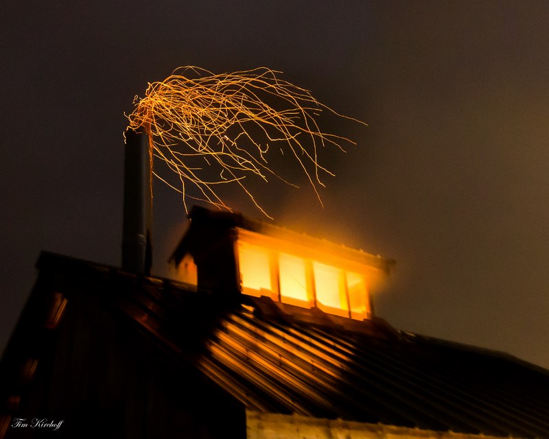
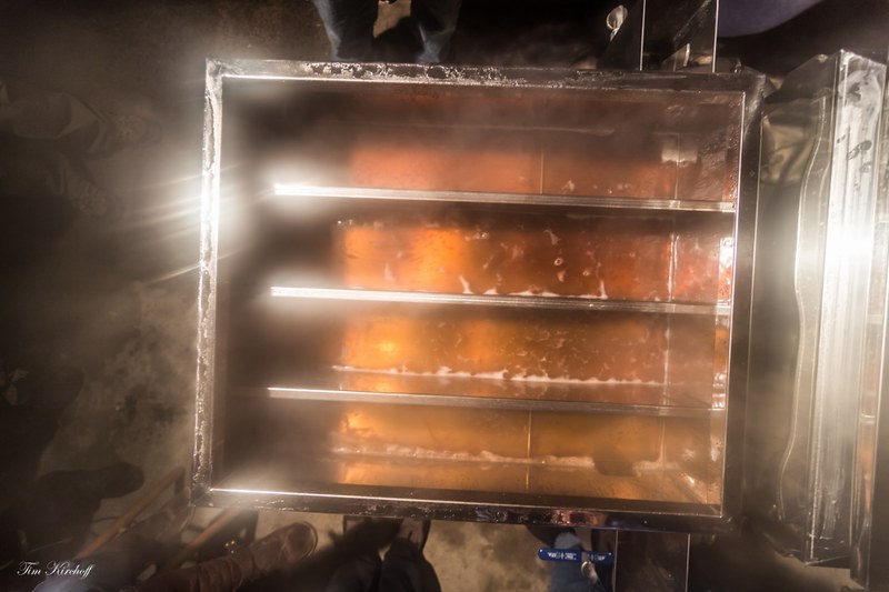
Aim for the chopping block. If you aim for the wood, you will have nothing. Aim past the wood, aim through the wood.
http://tim-kirchoff.pixels.com/
-
04-03-2015, 10:51 AM #4795
Break track, not wind
- Join Date
- Feb 2005
- Location
- Back in the barrel again
- Posts
- 1,768
Long may it flow! Originally Posted by From_the_NEK
We are down to our last jug and I was getting worried....The sad truth is that whine does not age well
-
04-03-2015, 04:39 PM #4796
 Living in the past
- Join Date
- Mar 2010
- Location
- Banana Belt, VT
- Posts
- 4,417
Oh MRG, how I missed thee. What a day.
-
04-03-2015, 06:54 PM #4797
gentleman turn farmer
- Join Date
- Nov 2008
- Location
- between campus and church
- Posts
- 9,972
-
04-03-2015, 09:38 PM #4798
 Sliding Sideways
- Join Date
- Dec 2011
- Location
- Timbers of Fennario
- Posts
- 2,499
^
Utah's finest meets VT's, nice combo!
-
04-04-2015, 05:38 AM #4799
I got a hair on my tongue
- Join Date
- Dec 2007
- Location
- base of the Bush
- Posts
- 14,932
35.4` bob , snow arrived to replace the rain at 7:10, gonna be interesting today as the snow sets up.
Yesterday = another fun spring day on the wheel, slightly more crowded due to Good Friday but no more than a minute wait for another lap. Love the Praxis BC in the spring corn, was fast lapping some deep corn and could lay them over and drag my hand in the snow like a hard booter.
The "Good" High peaks looking good, Addison County turning brown

The "Bad" A badass SaucerBoy tribute, watched him ski down with the saucer acting like a windfoil tether

The "Ugly" Umm, ugly hippy chic? wtf
 www.apriliaforum.com
"If the road You followed brought you to this,of what use was the road"?
"I have no idea what I am talking about but would be happy to share my biased opinions as fact on the matter. "
Ottime
-
04-04-2015, 07:50 AM #4800
Break track, not wind
- Join Date
- Feb 2005
- Location
- Back in the barrel again
- Posts
- 1,768
MWO:
CURRENT SUMMIT FORECAST
Low pressure will strengthen as it tracks into the Gulf of Maine this morning, with heavy snow and high winds likely creating very poor visibility and dangerous conditions across the higher summits into this evening. Temperatures will fall through the day as colder is pulled in behind the deepening storm system, with periods of heavy snow most likely during the morning. As the system begins to pull away this afternoon winds will increase quickly to sustained speeds near hurricane force, with gusts likely approaching 100 mph. Steady snow will come to an end before sunset, with isolated upslope snow showers continuing through the night. Strong winds combined with temperatures bottoming out below zero will prompt a wind chill advisory this evening, lasting through mid-morning Sunday. An active weather pattern will continue tomorrow and into the start of next week, with a cold front likely stalling just south of the area keeping the threat of snow showers across the higher summits into the middle of next week.The sad truth is that whine does not age well

 Reply With Quote

Bookmarks